Find Drone Pilots Near You
Search by city, landmark, or address to find drone pilots for hire in your area.
Are you a drone pilot? Get listed for free and get jobs →
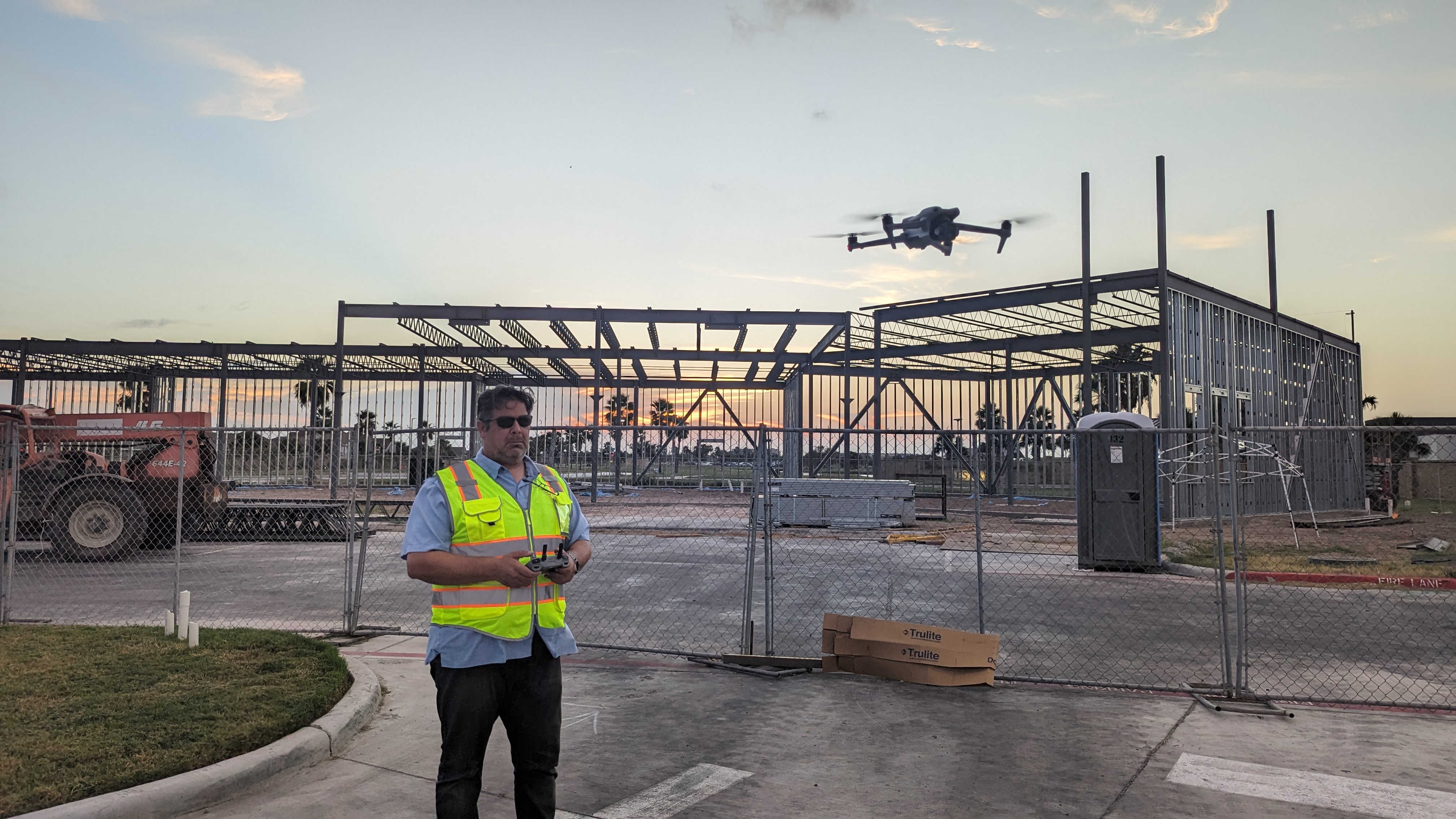
True North Aerial Imaging
License / Certification
FAA Part 107 #5198389

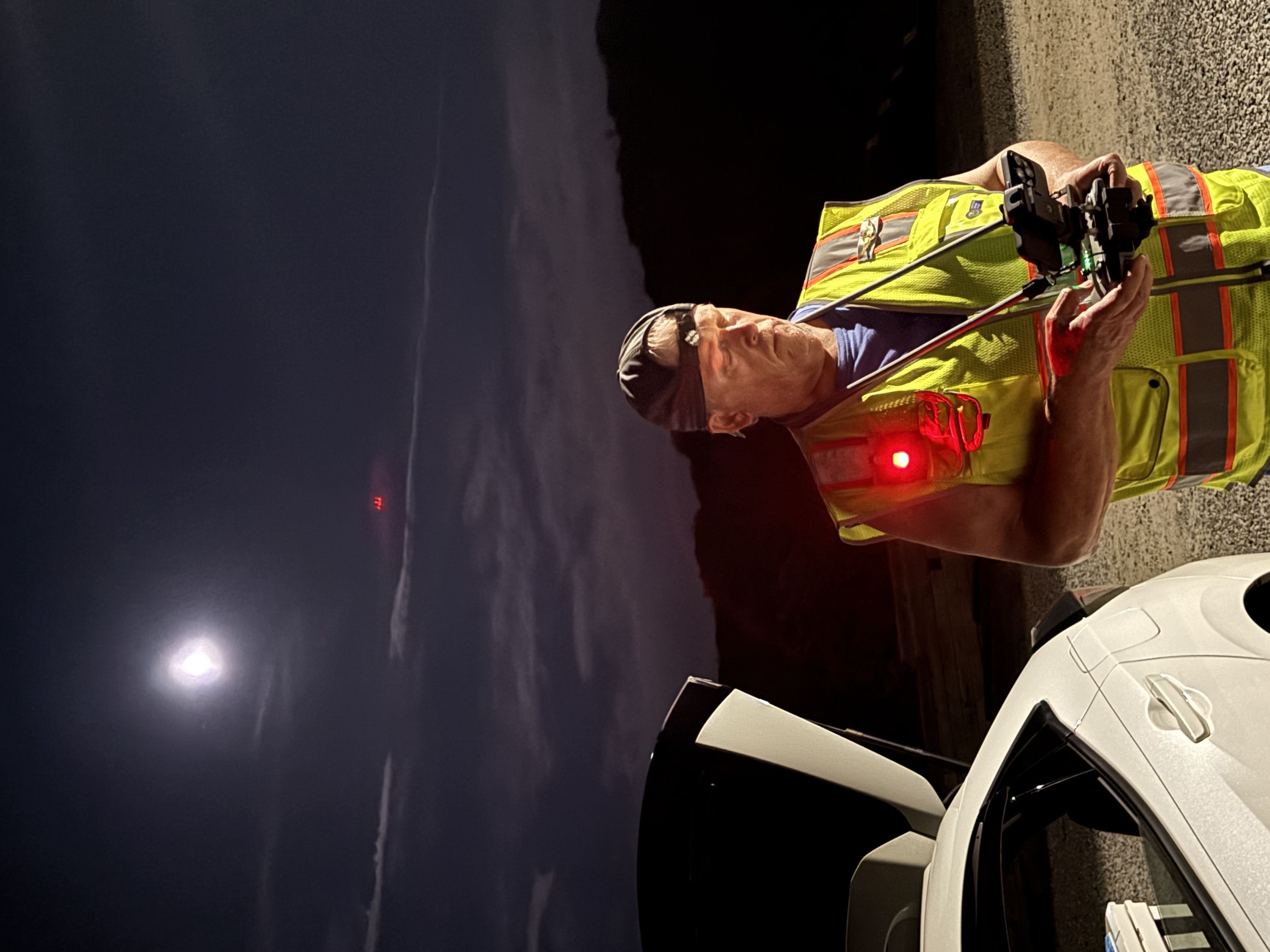
Dennis James
License / Certification
5160365

SEE IT MAP IT
License / Certification
Advanced RPAS Certificate (NAVCAN)
Dronie Cronie LLC
License / Certification
FAA Part 107 4546988

Jays Tech Vault
License / Certification
FAA Part 107 License #2125395
Skytracking Drone NC
DeMarkitecture Drones
License / Certification
FAA Part 107 Certificate #4842256

Native Sky Drone Services LLC
License / Certification
FAA Part 107 #5174643
Lowcountry Aerial solutions
License / Certification
FAA Part 107 Temporary License 5282509
Fox River Drones
License / Certification
FAA Part 107 #5252295

Citation Imaging
License / Certification
FAA Part 107 #5205004
M Win
License / Certification
POL-RP-h6vnwbzxgyuq
bwahl

Shideler IT
License / Certification
FAA Part 107 #5016756
AerieView Drone Solutions LLC
License / Certification
FAA Part 107 #4878948
Precise Vision Solutions
License / Certification
5322839
Aidan Woods
License / Certification
FAA Part 107

Precision Vector
License / Certification
FAA PART 107 #5079635

The Drone Videography UK

Raven Aero
License / Certification
5064333
Westshore Drone Services
License / Certification
4932002

JHW Imaging
License / Certification
4952441
Oceanicskyviewphotography
License / Certification
FAA PART 107. Certificate Number 4736989
JDM Aerial Photography
License / Certification
FAA Part 107# 5229677

Carlton Lewis
License / Certification
FAA Part 107
SKYBOTX
License / Certification
FAA Part 107
CDS Dallas Georgia
License / Certification
FAA certificate 4482638
Cor-Flight Aerial Solutions
License / Certification
FAA 107 5253818 licensed *Pilot Institute graduate. PPA member

Roman Vaulin Drone
License / Certification
4644419

King Raptor Media LLC
License / Certification
FAA Part 107
DroneViewHQ - Michael Del Bianco
License / Certification
FAA Part 107 Certified Drone Pilot #5220714
DMC Drone Operations
License / Certification
FAA Part 107 #5181258
Sin City Sky
License / Certification
2563317

Electric Eye LLC
SKYSIDE PHOTO
License / Certification
FAA Part 107 #4372737
Nicholas Robinson
License / Certification
CAA GVC

Lamont Aerial
License / Certification
5087894
Tom Ferguson
License / Certification
FAA part 107 Certificate #4436521
River Valley Drones LLC
License / Certification
FAA Part 107 # 5031637
Audeaerialsolutions
License / Certification
Part 107 5081097
Geomatics
License / Certification
PC2211203595

Buckeye Drones
License / Certification
FAA Part 107 #4096789
HaydenFliesDrones
License / Certification
Pending

Lathen Photography
License / Certification
4625006
Bird’s Eye Views
License / Certification
PENDING
Michigan_Drone
License / Certification
5150978
New Pilot
License / Certification
FAA Part 107 #5068275
Josh
License / Certification
FAA Part 107

AerialClicks
License / Certification
FAA Part 107
GJLSkyward
License / Certification
FAA Part 107
Rockstarr1488
Quad-Grammetry Media
License / Certification
444284

Sven
License / Certification
EASA EU A1/A2/A3 + EASA EU Specific STS
Pass Drone Works
License / Certification
FAA Remote Pilot Certificate #4951187

Scout and Aerial LLC
License / Certification
FAA Part 107 #: 5255580

Fly Guys DFW
License / Certification
PART 107 Remote Pilot # 5214927

Drone Pilot Josh Media

Sky Makai
License / Certification
FAA 107 #4247993
Mike Greene
License / Certification
FAA Part 107 #4342148
PDP Chief Pilot
License / Certification
FAA Part 107 3908521(2016)-Full Currency Certificate Number 06454342024060200677-FAA Private Pilot 3406645

Sentinel Aerial Inspections
License / Certification
5275329
Ellison Aerial Services
License / Certification
FAA 107c #5147838

Luke Anderson Videography
Aerial Data Solutions
License / Certification
FAA Part 107 #5245761
Matt
License / Certification
FAA Part 107 Cert #4044762
Gilez Drone Shots
JXG DRONE SERVICES
License / Certification
FAA PART 107 CERTIFIED LICENCED PILOT (can provide/show certified license # for verification upon request)

Apex Drones
License / Certification
A2CofC

Camden Drone Services
License / Certification
FAA Part 107 #5132113
Tom
Tejas UAS
License / Certification
FAA Part 17 #5207200

JS Aerial - Capital Region Drone Services
License / Certification
FAA Part 107

Ray Sarracino
License / Certification
FAA Part 107
Studio 5 Drone Pros
License / Certification
FAA Part 107 - 4434308
CGD Aerial Services
License / Certification
3996590

jack@allstaraerial
License / Certification
FAA 107 - 3979078
Phoenix Aerial Services
License / Certification
FAA Part 107
RidgeLine Aerial Solutions LLC

Qtodd
License / Certification
FAA Part 107
Blackland Aerial Imaging
License / Certification
FAA Part 107 #5245256

PatriotDrones. ORG
License / Certification
FAA part 107 & FAA FAAST Representative

ACE Sky Tech
License / Certification
FAA Part 107, $1 million insurance
Mitten Drones and Photography LLC.
License / Certification
FAA Part 107# 4932908
JRise
John
License / Certification
5233526

NedUAV
License / Certification
NLD-RP-xpyasncku9e

Kenspector
License / Certification
FAA Part 107 #4465371

Eagle Sight Drone Intelligence Group
License / Certification
4758828
The Lofty Lens
License / Certification
Part 107 - 5015545

Tim Crawford
License / Certification
Part 107 #5072080
Ultramax Drone Services
License / Certification
Transport Canada Small RPAS Pilot
Captain Joe
License / Certification
5166881

Steve
License / Certification
4180068
Whirlybirds
License / Certification
FAA part 107 license
Clarke Skyview Media
License / Certification
Part 107 certified
VsionK
Chris Del Toro
License / Certification
5004391
Marcelituis230
License / Certification
European A1/A3 + A2
Dimension Drone AZ
License / Certification
5216825
4Winds Drones
License / Certification
5102520
dronesndreams
License / Certification
Operator Accreditation
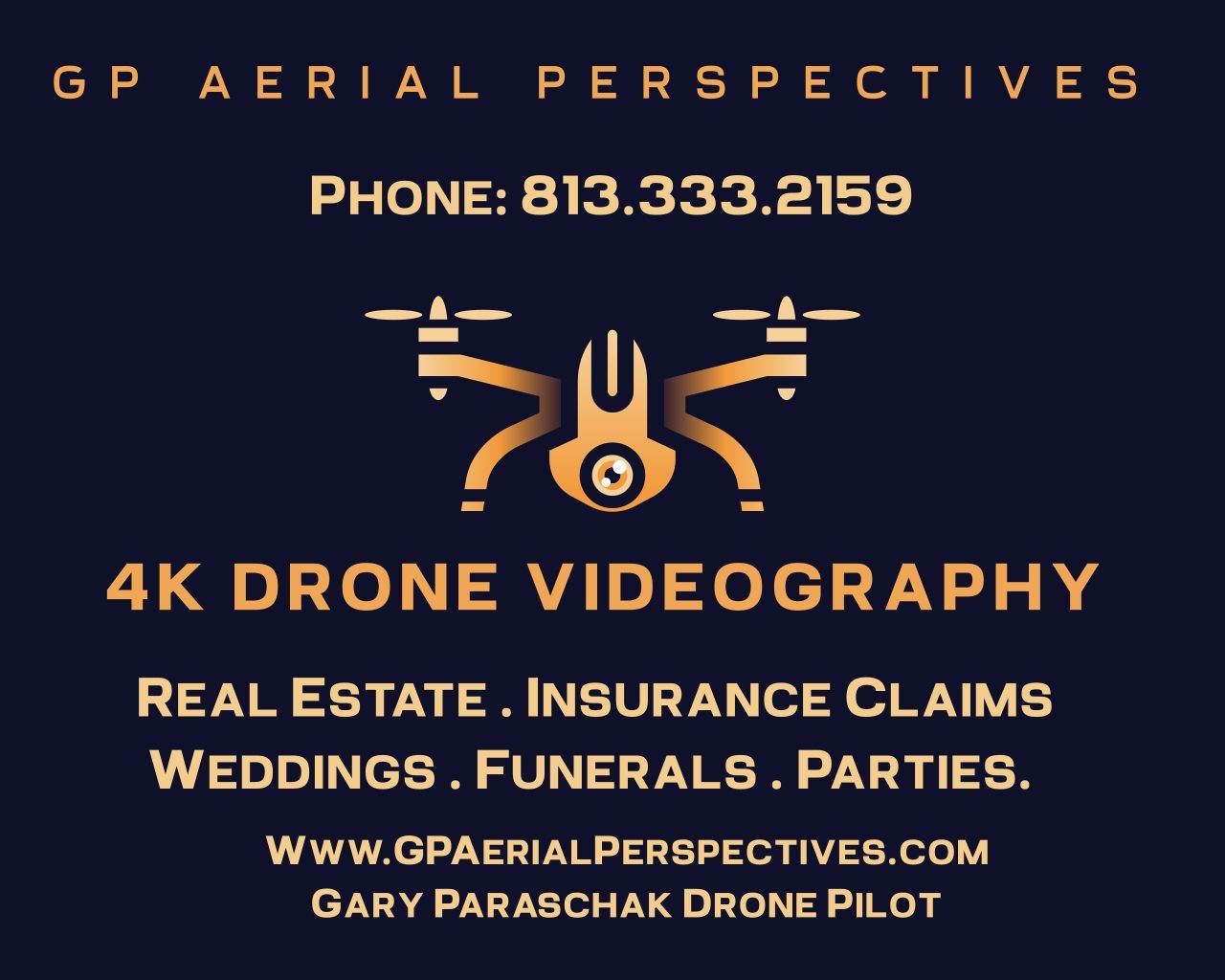
GP Aerial Perspectives

Skyshoot LLC
License / Certification
FAA Part 107 # 4511828

Unnamed
License / Certification
Part 107 4907244

TechFi Hub-Know the Tech
License / Certification
FAA Part 107 # 5157433
Solid Foundation
License / Certification
5304151
blueLID
License / Certification
4559879

Nuvista Media
License / Certification
FAA Part 107 #5194412

Tahoe
License / Certification
FAA Part 107- 5086008
Wright Eye Drone Services
License / Certification
FAA UAS license #3807780
DroneWest
License / Certification
5002005
ClearSky Drone Services

Enrique Arenas
License / Certification
4529417

Fred Flores
License / Certification
5155453
Skyline Imaging Solutions
License / Certification
FAA Part 107
Sherwood Aerial Photography
License / Certification
4895104
Marcus
License / Certification
EU UAS Operator ID (LBA) – DEU-RP-k5tj4rlyoudx

Matt McCollum
License / Certification
FAA Part 107 # FA3M7AN7XT

Six1Five Studio
UAVOperations
License / Certification
DEU-RP-s1jg8k04b79z
Jeff
License / Certification
5155266

DCARD
License / Certification
FAA Part 107 4772794

JCOMM Aerial Imaging
License / Certification
FAA Part 107 4944899

ASAP NJ DRONE SERVICES
License / Certification
5207369
Drone Pilot UAG 25 LLC
License / Certification
Certificate number 5203380
DronEra
License / Certification
FAA 4938614

egaskinproductions LLC
License / Certification
FAA Part 107 #4817717

Sky.High.Colorado

Airman RI DeAndre L Daniels Sr
License / Certification
FAA Part 107 4224127

Stephen Jaquez Imaging & Mapping
License / Certification
5233760
DroneQuest
License / Certification
FAA Part 107 #5202418
JC Aerial Imagery
License / Certification
FAA Part #107 certificate number: 4765768

Alberto Secondi
License / Certification
4761802
Andrew
License / Certification
A1/A2/A3 & STS-01

Falcon Flight UAV
License / Certification
FAA pt 107 # 4879036
Trevor Snider
Atlas Drone Imaging LLC
License / Certification
FAA Part 107 5241001
J-Oakes

Flyingdawg Aerials
License / Certification
4290169
Aerial UAS Solutions
License / Certification
FAA Part #107 4686687
Brian Grigsby
License / Certification
FAA Part107# 4981308
Superior Drone Services LLC
License / Certification
FAA Part 107 - 5174305

Mako Drone and Photography Services. LLC
License / Certification
FAA Part 107 #5101039

Take Flight Idaho
License / Certification
FAA Part 107 5166979

Highest Peak LLC
License / Certification
FAA Part 107, OSHA and RF certified
Drones From the BORO
License / Certification
5315715
WADiT Aerial Surveys
License / Certification
GVC- PDRA01 - Operational Authorisation.

Elevated Drone Perspectives LLC
License / Certification
5174157
Ariseimaging.com
License / Certification
4587614

John Githens
License / Certification
FAA Part 107: 3925337

Greenemedia LLC
License / Certification
FAA part 107

Chadfishy
License / Certification
Faa training
Ventura Droner
License / Certification
FAA Part 107 # 4443041

Midwest Aero Gurus
License / Certification
FAA Part 107 #4948808; Private Pilot, AI/GI, Aircraft Dispatcher #3641500
East Coast Drone Productions
License / Certification
FAA Part 107 : 4985717
Dronescapes Aerial Photography
License / Certification
FAA Part 107 #4319253

Through The Lens Media
License / Certification
4965708
UasAviator
License / Certification
5173145
Apolloair
Cody Wagner Aerials
License / Certification
5159728

Irish Footage

Dustin
License / Certification
5197028
Brisdrone Photography
License / Certification
ARN1236470
IndianaDroneStop
License / Certification
4863370
Hover Northwest
License / Certification
#5112164
Dronexperience
The Pin Drone Services
Leonardo
License / Certification
FAA Part 107# 5247414
Doug Booten
License / Certification
5128490
Hover Haus
License / Certification
FAA PART 107

Michael Lacey
License / Certification
5171829
DroneWorks
License / Certification
FAA PART 107 #5237982
Monterrey Aerial Media
License / Certification
FAA Part 107 #5306808
CropTech Solutions
License / Certification
FAA Part 107, Part 137
TDay
License / Certification
FAA Part 107 # 4579362

AM-DSG
License / Certification
NLD-RP-u9ftwj1y3bp0
Shaun Thomas
License / Certification
5324130

DroneSpection
License / Certification
FAA Part 107 #: 4569738
JDS Aerial Aspects
License / Certification
FAA part 107, 5160797

Bcreative Content
Above View Drones
License / Certification
5324076

I Love New Haven, LLC
License / Certification
FAA Part 107 Certificate # 5097989

SremAirlines
SkyDawgs
License / Certification
FAA part 107#5197879

That Drone Guy USA
License / Certification
FAA Part 107 #5088091
Above Alabama Media
License / Certification
FAA Part 107 #5319557
Aeroveal - Know More. See More.

Top Dog Drones
License / Certification
FAA Part 107 #5222930

Wine Country Real Estate Photography
License / Certification
FAA Part 107 4417218

Grayonics Drone Pilot Service LLC
License / Certification
FAA UAS License #4922493
Flight Shark Aerials
License / Certification
FAA Part 107 #4597223

Cedrus Property Inspections
License / Certification
FAA Part 107 #5179079

OneTrueLegend

Remington Drones
License / Certification
FAA Part 107 #5218252
RR_SkyView
License / Certification
STS-01 #BELffrb9t1ga7us6
AikenOrt
Tampa Drone Co
License / Certification
FAA Part 107 #4331131; Level 1 Certified Infrared Thermographer;

Gadget Junkie Droneography
License / Certification
5201314

OneWorldU
License / Certification
5123873

Roteiro Virtual
License / Certification
PP-996036465
V
License / Certification
5264195
David Carrasco
License / Certification
FAA Part 107 #5261694
BGI SkyVision
License / Certification
4764199
Mark Hornby
Copper Skies
License / Certification
5043612
Texas Drone Media
License / Certification
FAA Part 107 #5136031

Vegas Valley Drone Co.
License / Certification
5254143
Air-To-Ground Media LLC
License / Certification
4613586
Jeremiah Summers
License / Certification
FAA Part 107 # 5222741

Aerial Reels
License / Certification
FAA Part 107 #4776129
Waterfront Drone
License / Certification
FAA PART 107 4516371
Chicagoland Aerial
License / Certification
FAA Part 107 Cert #4877215

CVS
License / Certification
FAA Part 107 # 5277635
hheimburger
License / Certification
FAA Part 107 #4962501
Ocean State Drone Company
License / Certification
FAA Part 107 #5042525
Robert Soto
License / Certification
5497132
ART A AERIAL
License / Certification
EASA EU Drone Pilot – A1/A3 Open Category | UAS Operator Registration: SVNc1latmjx2o10l
Free Will Constructs
License / Certification
5274287

Aerial Insights
License / Certification
Part 107# 5124681

Oaki Visuals
Goose's Aerial Services
License / Certification
FAA Part 107 #4970555
local 2001
License / Certification
5241266
New England Aerial Photography, LLC
License / Certification
4916148

TerraVista Aerial Solutions
License / Certification
4534629

Asgard Aerials
License / Certification
A2CofC
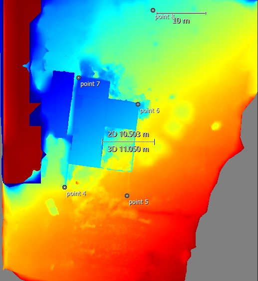
SkyeTech Aerial
License / Certification
FAA Part 107
MilanZ
License / Certification
SVN3dh0ia4lviwh7

UE Drone Solutions
License / Certification
FAA Part 107

Scott
TMShader
License / Certification
AUT-RP-2ebq5sac0bt5

Travis
License / Certification
5073129

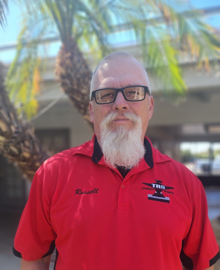
THE RESOURCE INC
License / Certification
Partn107 license

A Parrott's View
License / Certification
4772092

Charles Uibel
Jamar
License / Certification
5319422
Intercept aerial solutions
SE squared
License / Certification
FAA Part 107 #4494789, Certified Geographic Information Systems Professional (GISP) #67234
Kamil
License / Certification
FAA Part 107 # 4606418

Organic Truth

WeKeD
License / Certification
pending

Rider Wal
The Drone Whisperer

John Daily
License / Certification
4757524

Gazanfar
License / Certification
FAA Part 107 #5260268
York Aero
License / Certification
FAA Part 107 #3954954

ArchAngel Drone Photography
License / Certification
5240271
Helix Aerial Solutions
License / Certification
5143519
Baxters Mapping and Imagery
License / Certification
FAA Part 107 5528644
M8tri6

Metrica Environmental Consulting
License / Certification
GBR-OP-587TRD2ZBLZF
Mizael Matozo

Halls Aerial Services
License / Certification
5022395

PCutt
License / Certification
GBR-RP-FK7JYNW9DSXY

James
License / Certification
4891126
AW Dronetech LLC
License / Certification
4563775

All Streamed Up
License / Certification
PC2413149127

Altitude Dynamics
License / Certification
FAA part 107 #4888104
NordicSkyShot
Bart Peek
License / Certification
LUX-RP-19990612ssej
Prairie State Aerial

Cloud88
License / Certification
Part 107

J Mo
License / Certification
5247957

Heitman International Solutions & Services, LLC
License / Certification
4314377
Malik Bass
License / Certification
FAA Part 107 #5228137

RAI, LLC
License / Certification
FAA Part 107 #5161252

FMG Drone Works LLC
License / Certification
FAA Part 107 #
DHDS
License / Certification
FAA PART 107 #5241289
Pixel Persona
License / Certification
CASA Certified

Drone-FlyView
ProGlide Aerials
License / Certification
4960361

Rodney
License / Certification
5269617
Goggin Aerial
License / Certification
4401066
Zevi Rubin
License / Certification
3966628

PixlWorx
License / Certification
5222766

Jason Sutton
License / Certification
C2292518
Jay Lagorio
License / Certification
FAA Part 107 #5197162
Lori Harrington Aerial & Archaeology
License / Certification
4536596
Rolando Sacchetto

Simon S.
License / Certification
EU A1, A2, A3, STS
Providence Drönarvy
License / Certification
EASA - A1/A3

Hoolet Media

Wisata Djogja
Aron's Drones
License / Certification
FAA Part 107# 5212959
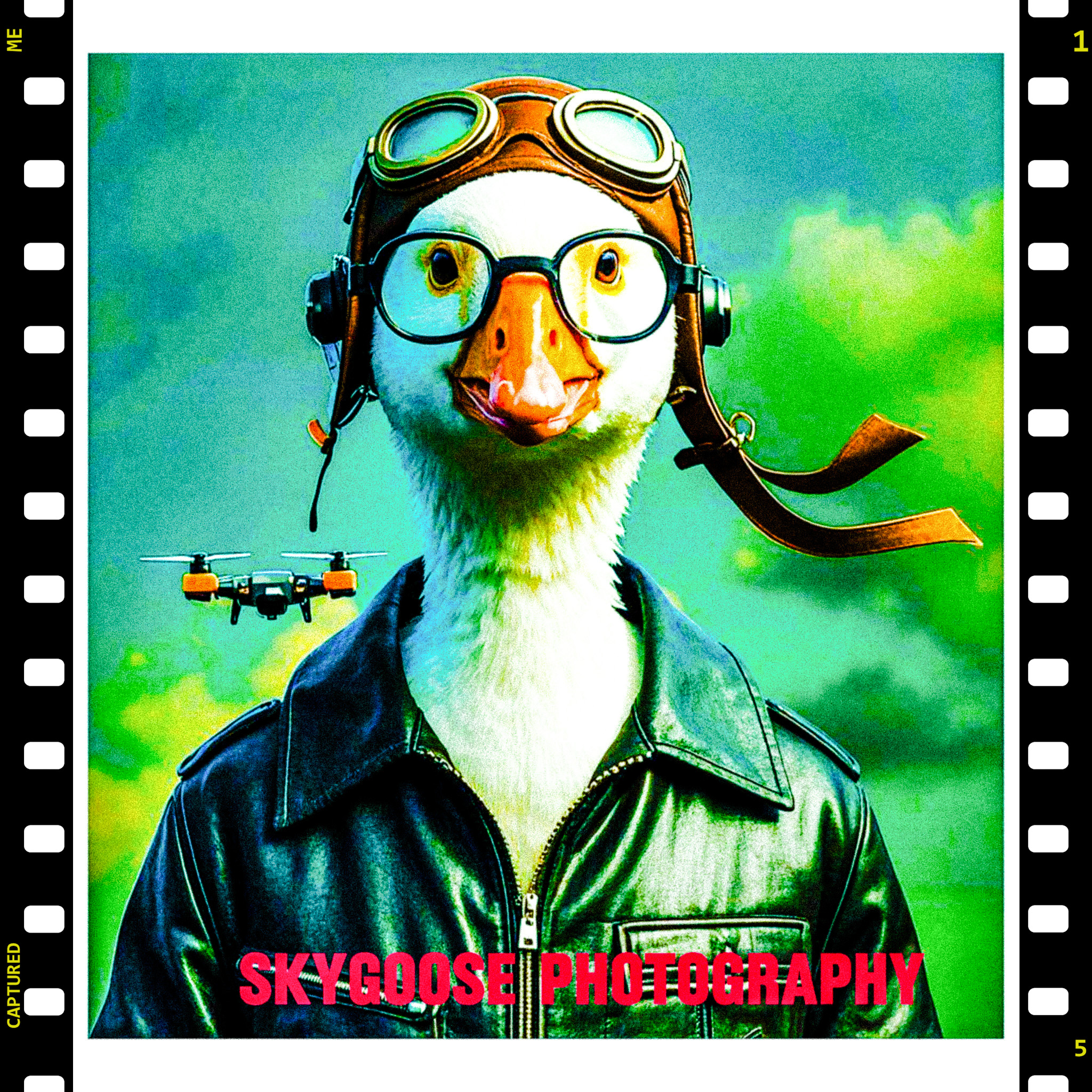
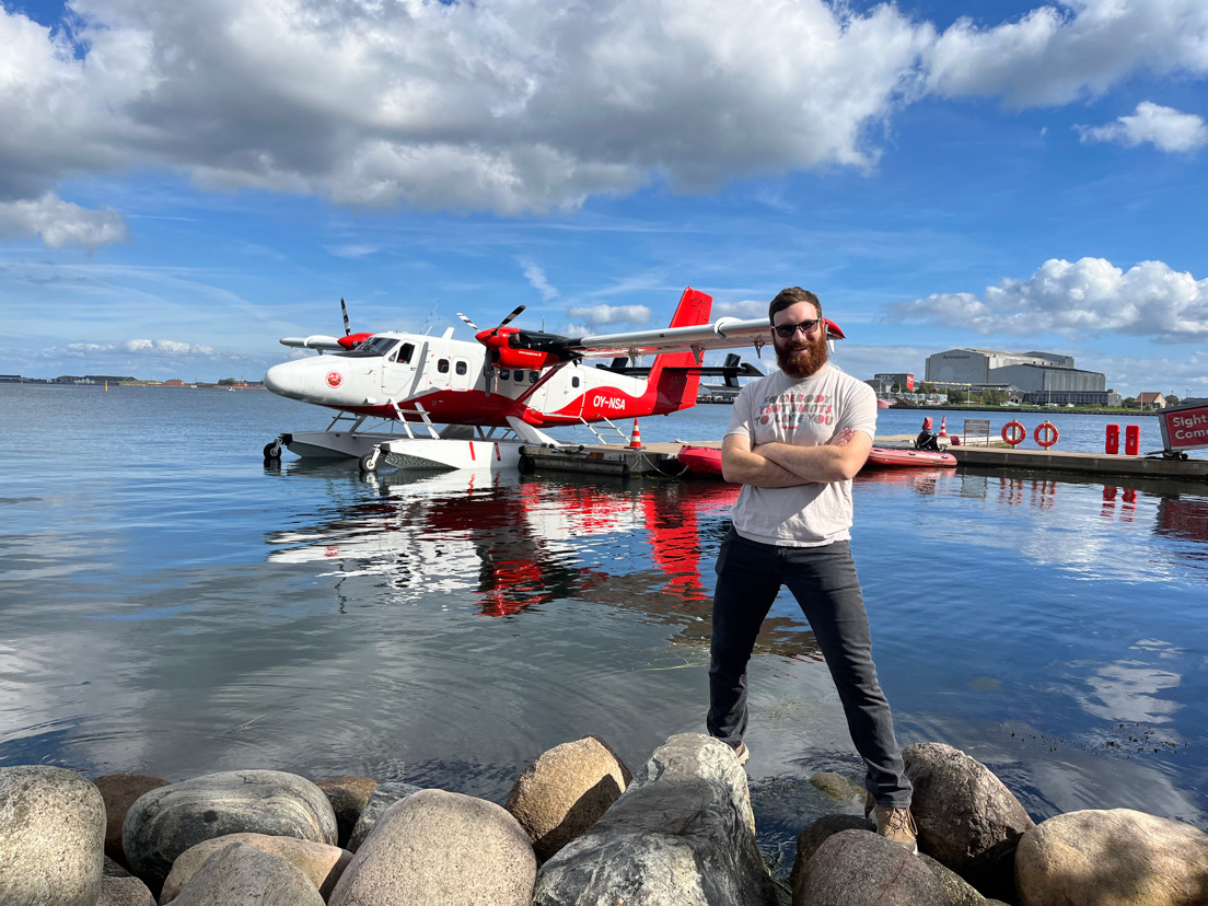
Skygoose Photography
Tommo
License / Certification
CAA Part 101

Jake H.
License / Certification
FAA Part 107 #5161073

Papa Golf

Ryan Molecke
License / Certification
Part 107
Contemporary Innovations, LLC
License / Certification
Temporary FAA

Giacomo - NewberryFilmwerksPilot
License / Certification
FAA Part 107, 4645532
Render
License / Certification
5102530