Drone content available in Ruther Glen, Virginia – Ruther Glen, Virginia (VA), United States (US)
Drone content available in Ruther Glen, Virginia Ruther Glen is a charming community located in Virginia, known for its beautiful landscapes and rich…
Pilots
Tom Ferguson
License / Certification
FAA part 107 Certificate #4436521
Invoices
Showing 5 of 5Media
Showing 13 of 13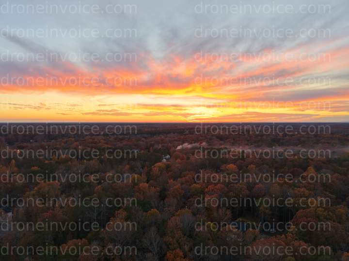
2025-11-08
2026-01-17
2026-04-02
2026-03-25
2026-03-25
2026-03-25
2026-03-25
2026-03-25
2026-06-16
2026-06-16
2026-06-16
2026-06-16
2026-07-01
Drone content available in Ruther Glen, Virginia
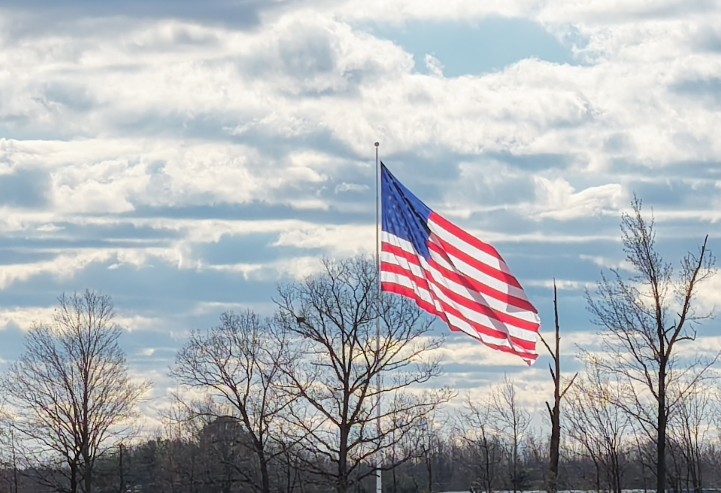
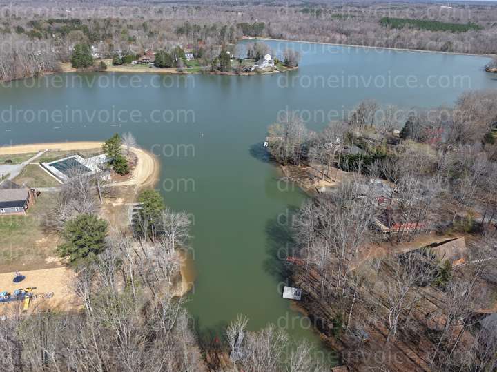
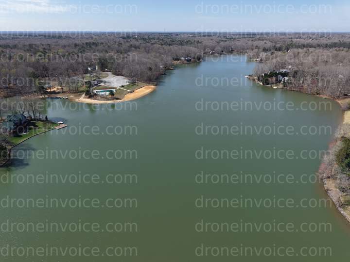
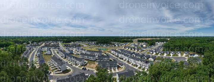
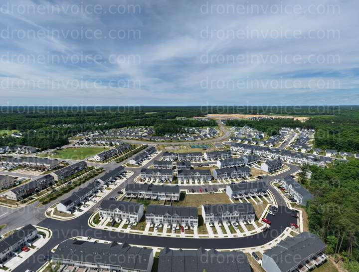
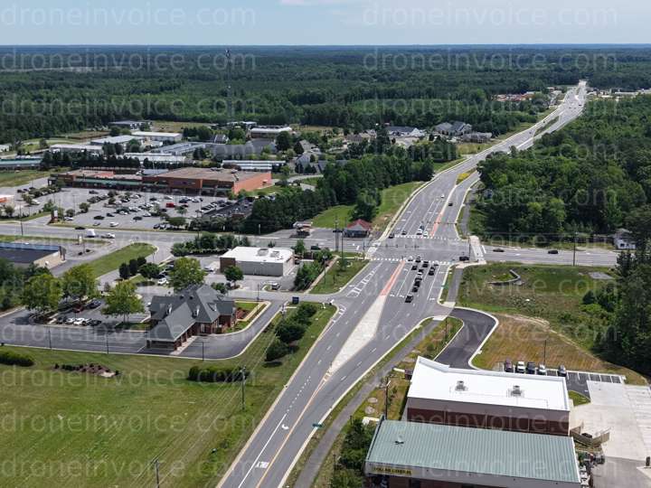
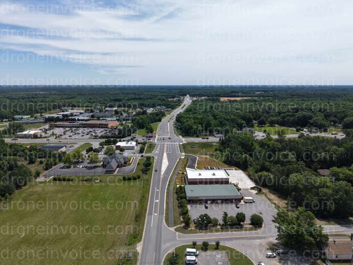
Ruther Glen is a charming community located in Virginia, known for its beautiful landscapes and rich history. Nestled between the bustling cities of Richmond and Fredericksburg, this area offers diverse scenery ranging from serene rural settings to picturesque waterways. It’s an ideal spot for capturing stunning aerial imagery and videos that showcase the natural beauty and unique character of the region.
On this page, you will find a variety of drone content available for purchase, including high-quality photos, videos, and more. Whether you're looking for breathtaking aerial views of Ruther Glen's lush landscapes, historical sites, or local events, you can find the perfect media to enhance your projects. Our collection is perfect for marketers, real estate agents, and content creators seeking to elevate their work with unique visuals.
Types of Content Available
- Drone Photos: Capture the essence of Ruther Glen with stunning aerial photography. Perfect for brochures, websites, and social media.
- Drone Videos: Showcase the beauty of the area through dynamic aerial footage. Ideal for promotional materials or documentaries.
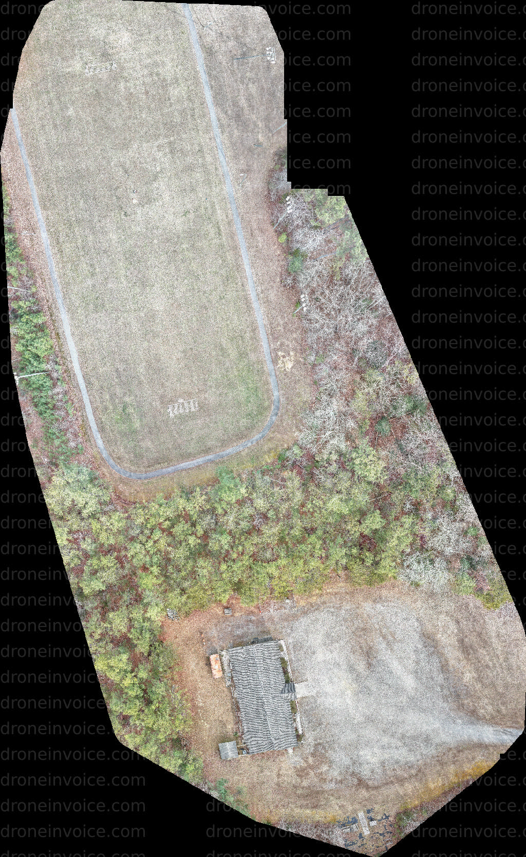
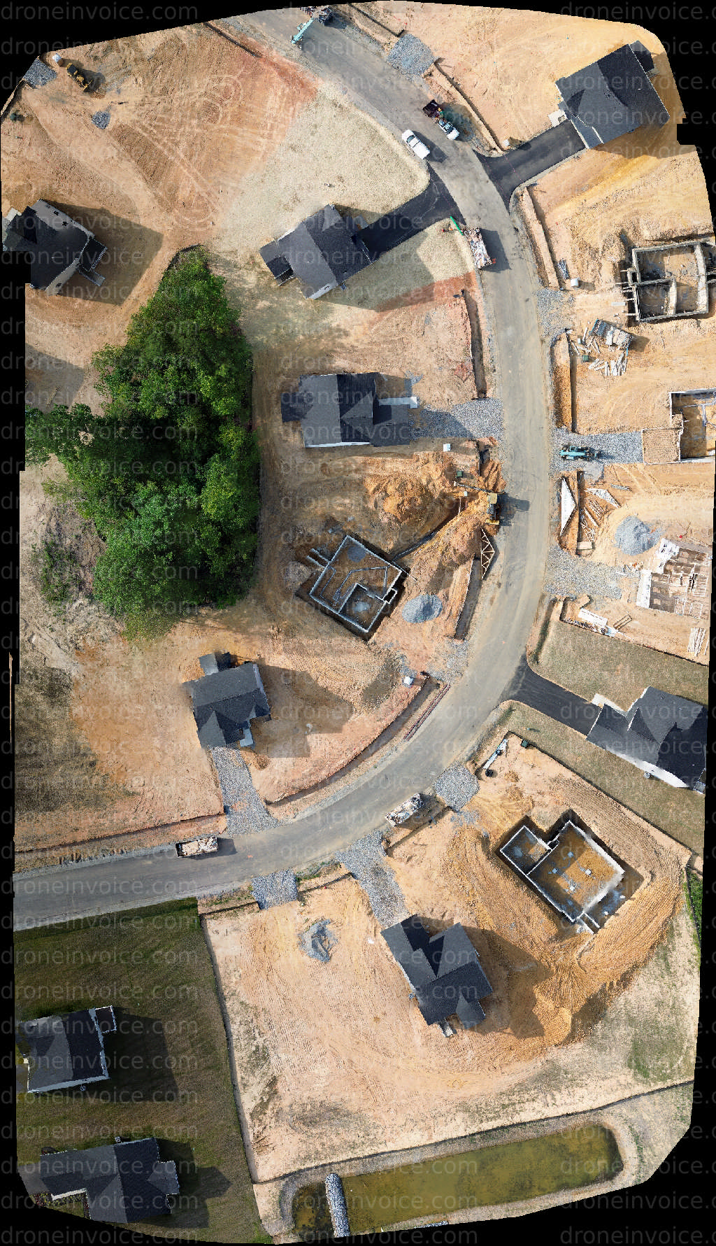
- 3D Models: Get detailed representations of specific locations in Ruther Glen, useful for architecture, planning, and visualization.
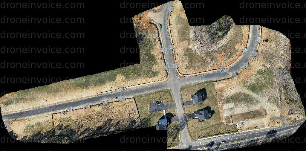
- Maps: Utilize aerial maps for geographical studies, property assessments, or tourism promotions.
- Point Clouds: Access 3D point cloud data for advanced topographical analysis or construction planning.
All content is available for licensing, ensuring you have the rights to use the media in your projects. We also provide flexible purchasing options to suit your needs.
Drone Pilots for Hire in Ruther Glen
In addition to media content, Ruther Glen has talented drone pilots available for hire. These professionals are certified and skilled in capturing high-quality aerial footage tailored to your specific requirements.
When choosing a drone pilot, consider their experience, certifications, and past work. Look for pilots who have completed necessary training and hold licenses, ensuring they comply with local regulations. Typical jobs include real estate photography, event coverage, agricultural assessments, and more. Each pilot brings their unique expertise to meet your needs.
FAQ
What types of drone content can I purchase?
You can purchase drone photos, videos, 3D models, maps, and point clouds, all showcasing the beauty of Ruther Glen.
How do I license the content?
Licensing is simple. Once you find the content you like, you can follow the purchasing instructions provided on our site to acquire the appropriate licenses.
What should I look for in a drone pilot?
Look for pilots with certifications, a strong portfolio, and relevant experience in the type of project you have in mind.
Can I use the drone content for commercial purposes?
Yes, the licensed content can typically be used for commercial purposes, but be sure to review the specific licensing terms for each piece.