Drone Pilots for Hire in the US – United States (us)
Drone Pilots for Hire in the US The United States is a vast country with diverse landscapes, from the majestic mountains of the Rockies to the…
Pilots

Dustin
License / Certification
5197028

John Githens
License / Certification
FAA Part 107: 3925337

Aerial Reels
License / Certification
FAA Part 107 #4776129

Midwest Aero Gurus
License / Certification
FAA Part 107 #4948808; Private Pilot, AI/GI, Aircraft Dispatcher #3641500
Top Dog Drones
License / Certification
FAA Part 107 #5222930

JCOMM Aerial Imaging
License / Certification
FAA Part 107 4944899
East Coast Drone Productions
License / Certification
FAA Part 107 : 4985717

OneWorldU
License / Certification
5123873
DroneWest
License / Certification
5002005

DroneSpection
License / Certification
FAA Part 107 #: 4569738
Wright Eye Drone Services
License / Certification
FAA UAS license #3807780

Sky.High.Colorado
Dronescapes Aerial Photography
License / Certification
FAA Part 107 #4319253
4Winds Drones
License / Certification
5102520
Skyline Imaging Solutions
License / Certification
FAA Part 107

SkySight Aerial Solutions LLC.
License / Certification
FAA Part 107 License #5149737
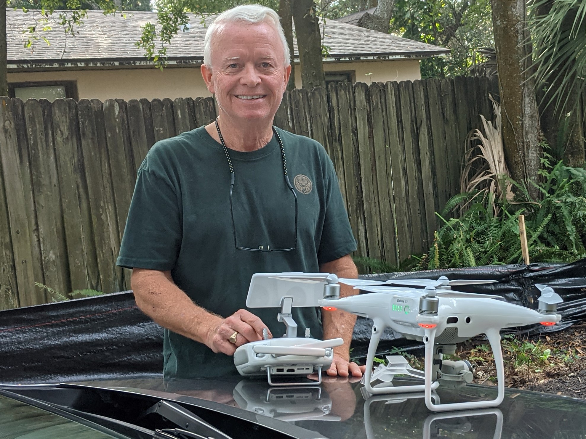
Tampa Drone Co
License / Certification
FAA Part 107 #4331131; Level 1 Certified Infrared Thermographer;

Fred Flores
License / Certification
5155453
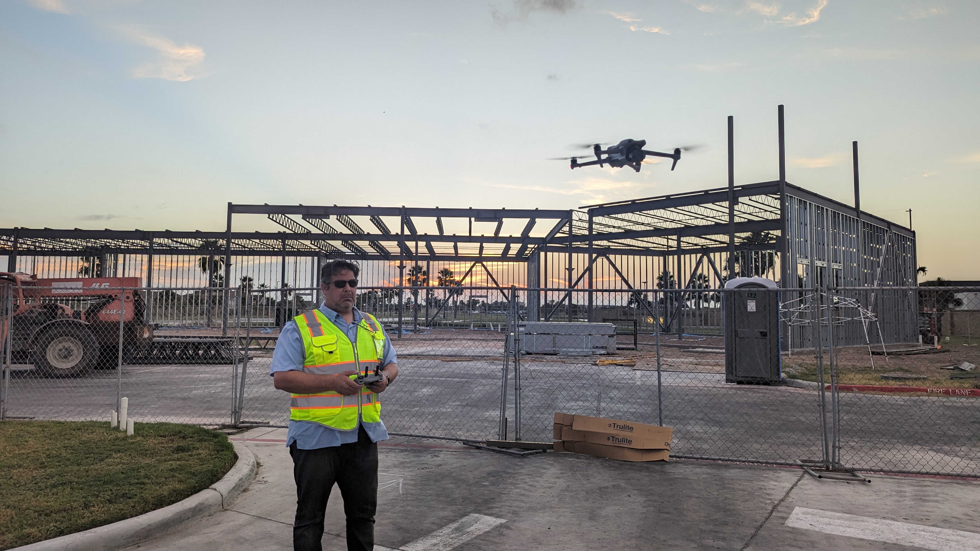
JC Aerial Imagery
License / Certification
FAA Part #107 certificate number: 4765768
Drones From the BORO
License / Certification
5315715
SkyDawgs
License / Certification
FAA part 107#5197879

I Love New Haven, LLC
License / Certification
FAA Part 107 Certificate # 5097989

Six1Five Studio
Ariseimaging.com
License / Certification
4587614
Hover Haus
License / Certification
FAA PART 107

That Drone Guy USA
License / Certification
FAA Part 107 #5088091
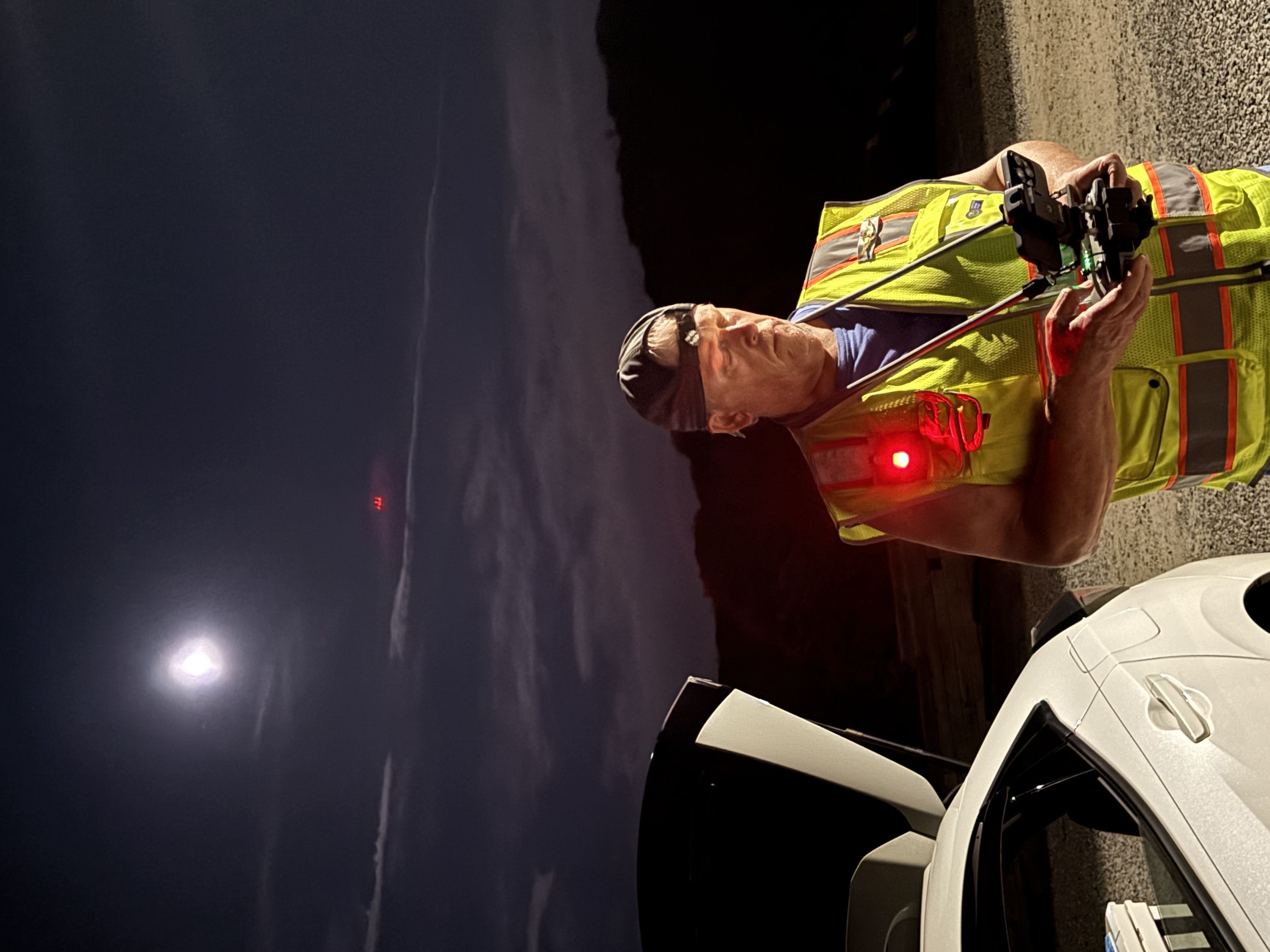
Drone Pilot UAG 25 LLC
License / Certification
Certificate number 5203380
Falcon Flight UAV
License / Certification
FAA pt 107 # 4879036
UasAviator
License / Certification
5173145
Drone Pilots for Hire in the US
The United States is a vast country with diverse landscapes, from the majestic mountains of the Rockies to the picturesque beaches of California. This variety makes it a prime location for drone photography and videography. Drone pilots are increasingly being hired for various projects, including real estate, events, agriculture, and environmental monitoring. On this page, you will find a selection of skilled drone pilots for hire across the US, ready to capture stunning aerial footage or assist with your drone-related needs.
Why Hire a Drone Pilot?
Hiring a professional drone pilot can enhance your project significantly. Here are a few reasons to consider:
- Expertise: Professional drone pilots have extensive training and experience. They understand how to operate drones safely and effectively in various environments.
- Quality: A skilled pilot can provide high-quality footage or images that meet your specific requirements, whether you need them for marketing, surveying, or monitoring.
- Compliance: Certified drone pilots are aware of local regulations and can ensure that all legal requirements are met, minimizing risks associated with drone operations.
- Efficiency: Hiring a pilot can save you time and allow you to focus on other aspects of your project.
Types of Drone Services Available
Drone pilots offer a wide range of services tailored to various industries and needs. Here are some common types of services you can expect:
- Real Estate Photography: Showcase properties from unique angles and perspectives that traditional photography can't capture.
- Event Coverage: Capture weddings, festivals, and corporate events from above, providing a comprehensive view of the activities.
- Agricultural Monitoring: Use drones to monitor crops, assess health, and gather data for precision farming.
- Construction and Infrastructure Inspections: Conduct inspections of hard-to-reach areas, ensuring safety and efficiency in monitoring progress.
- Search and Rescue Operations: Utilize drone technology to assist in locating missing persons or assessing disaster areas.
Choosing the Right Drone Pilot
When hiring a drone pilot, it’s essential to consider several factors to ensure you select the best fit for your project:
- Certifications: Ensure the pilot holds the necessary certifications, such as the FAA Part 107 license in the US, which demonstrates their knowledge of regulations and safe flying practices.
- Experience: Look for pilots with a proven track record in the type of work you require. Review their portfolio to assess the quality of their previous projects.
- Equipment: Inquire about the type of drones and cameras they use. High-quality equipment often leads to better results.
- Insurance: Verify that the pilot has liability insurance to protect you in case of accidents or damages during the shoot.
- Client Reviews: Read testimonials or ask for references to gauge the pilot's professionalism and reliability.
Cost Considerations
The cost of hiring a drone pilot can vary significantly based on experience, location, and the complexity of the project. Here are some factors that may influence pricing:
- Duration of the Project: Longer projects may cost more, as they require more time and resources.
- Location: Travel fees may apply if the pilot needs to travel a significant distance to your project site.
- Type of Content: Specialized services, such as thermal imaging or 3D mapping, may come at a premium due to the additional skills and equipment required.
- Post-Processing: If you require editing or additional services after the shoot, this will also affect the overall cost.
How to Book a Drone Pilot
Once you have identified a suitable drone pilot, follow these steps to book their services:
- Contact: Reach out to the pilot to discuss your project. Provide details about your needs, location, and timeline.
- Request a Quote: Ask for a detailed quote outlining the services included, any additional costs, and payment terms.
- Check Availability: Confirm the pilot’s availability for your desired dates.
- Sign a Contract: Ensure that a written agreement is in place, detailing the scope of work, payment terms, and any other relevant information.
FAQ
What qualifications should I look for in a drone pilot?
Look for pilots who have the FAA Part 107 certification, relevant experience, and a portfolio showcasing their work. Insurance is also an important factor.
How much does it cost to hire a drone pilot?
The cost varies widely based on the pilot's experience, project complexity, and location. It's best to request quotes from multiple pilots to compare prices.
Can drone pilots help with editing the footage?
Many drone pilots offer post-processing services, including video editing and image enhancement. Be sure to discuss this during your initial consultation.
What types of drones do professional pilots use?
Professional drone pilots typically use high-quality cameras and specialized drones suited for various tasks, including aerial photography, mapping, and surveying.
How far in advance should I book a drone pilot?
It’s advisable to book a drone pilot as early as possible, especially for peak seasons or busy events. A few weeks to a couple of months in advance is often recommended.