Drone Content Marketplace in the US – United States (us)
Drone Content Marketplace in the US The United States offers a diverse range of landscapes and urban environments, making it an ideal location for drone…
Pilots
ACE Sky Tech
License / Certification
FAA Part 107, $1 million insurance
Wright Eye Drone Services
License / Certification
FAA UAS license #3807780
ClearSky Drone Services

egaskinproductions LLC
License / Certification
FAA Part 107 #4817717

Eagle Sight Drone Intelligence Group
License / Certification
4758828
Dimension Drone AZ
License / Certification
5216825
Robert Soto
License / Certification
5497132
Superior Drone Services LLC
License / Certification
FAA Part 107 - 5174305

DCARD
License / Certification
FAA Part 107 4772794

Top Dog Drones
License / Certification
FAA Part 107 #5222930

JCOMM Aerial Imaging
License / Certification
FAA Part 107 4944899
4Winds Drones
License / Certification
5102520
DroneQuest
License / Certification
FAA Part 107 #5202418
DroneWest
License / Certification
5002005
Mitten Drones and Photography LLC.
License / Certification
FAA Part 107# 4932908

UasAviator
License / Certification
5173145

Chadfishy
License / Certification
Faa training
Atlas Drone Imaging LLC
License / Certification
FAA Part 107 5241001
JC Aerial Imagery
License / Certification
FAA Part #107 certificate number: 4765768
Drone Pilot UAG 25 LLC
License / Certification
Certificate number 5203380

Fred Flores
License / Certification
5155453

Six1Five Studio

OneWorldU
License / Certification
5123873

Mako Drone and Photography Services. LLC
License / Certification
FAA Part 107 #5101039

Ventura Droner
License / Certification
FAA Part 107 # 4443041

Aerial Reels
License / Certification
FAA Part 107 #4776129
Invoices
Showing 30 of 475

Media
Showing 30 of 4760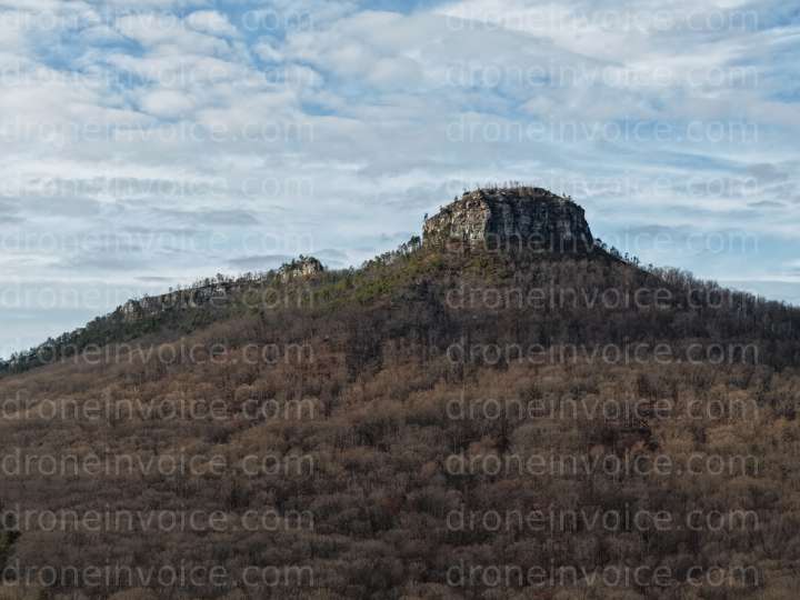
2024-12-19
2024-05-11
2025-11-29
2025-11-29
2025-11-20
2025-11-20
2025-10-25
2024-12-19
2024-12-15
2024-12-15
2024-08-10
2024-05-11
2023-02-28
2022-07-21
2022-07-21
2025-12-19
2025-11-30
2025-11-20
2025-11-20
2024-12-15
2024-05-07
2025-12-19
2025-11-29
2025-11-28
2025-11-28
2024-07-31
2024-07-31
2024-07-30
2026-01-17
2025-12-22
Drone Content Marketplace in the US
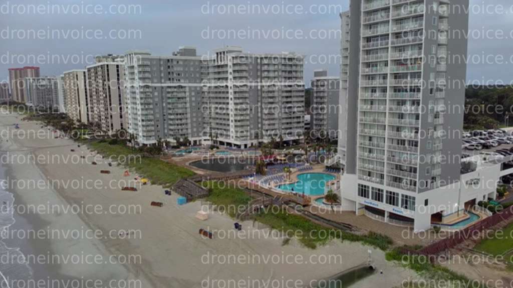
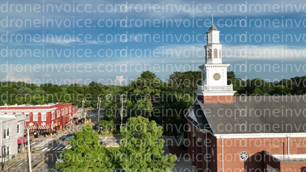
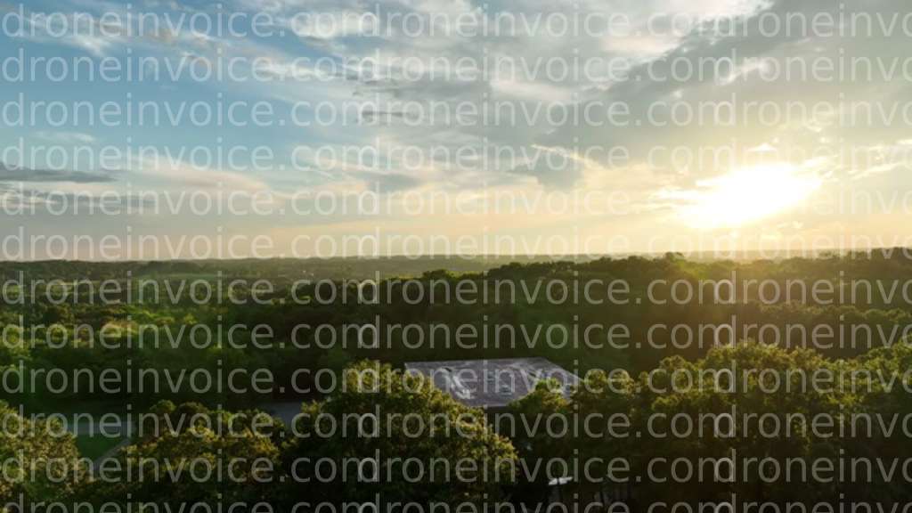
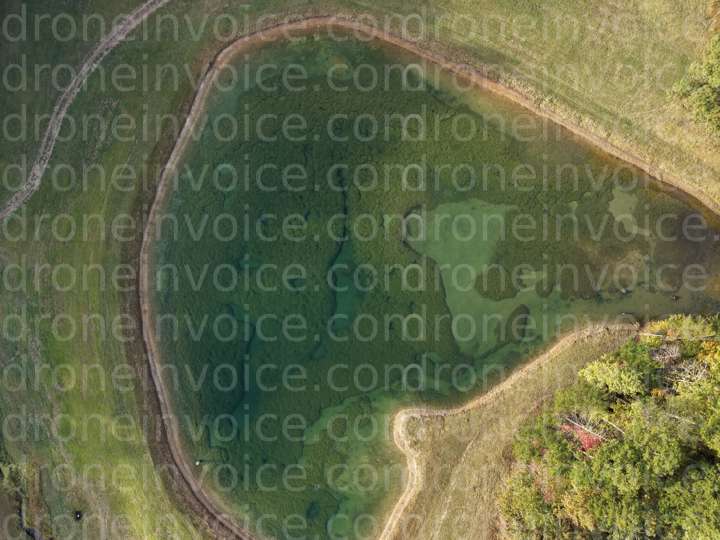
The United States offers a diverse range of landscapes and urban environments, making it an ideal location for drone content. From stunning national parks to bustling cityscapes, the potential for breathtaking visuals is vast. This page provides information on the various types of drone media available for purchase, as well as options for hiring qualified drone pilots.
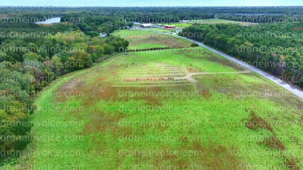
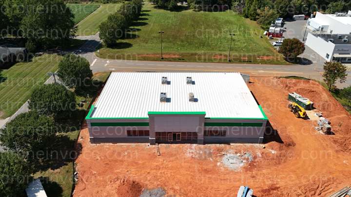
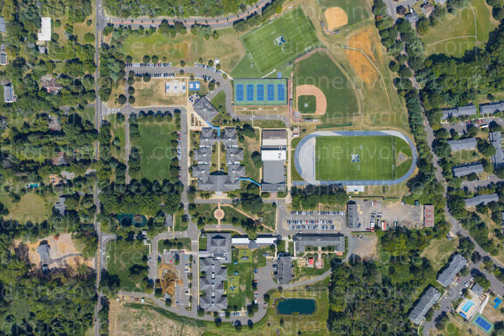
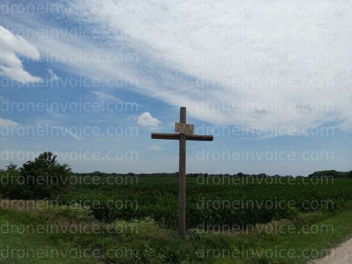
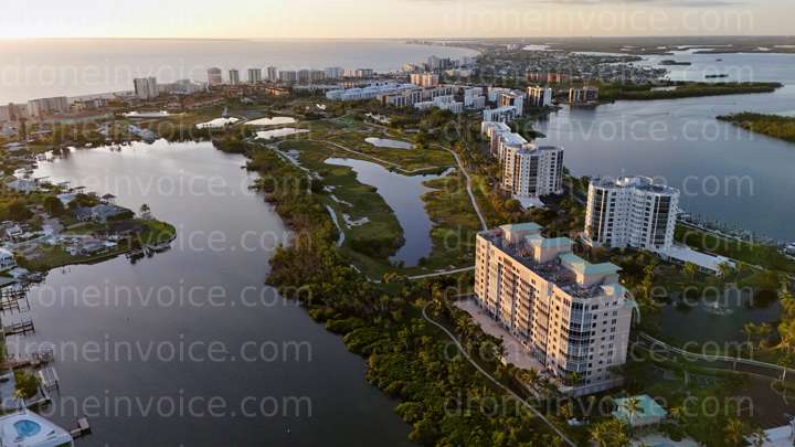
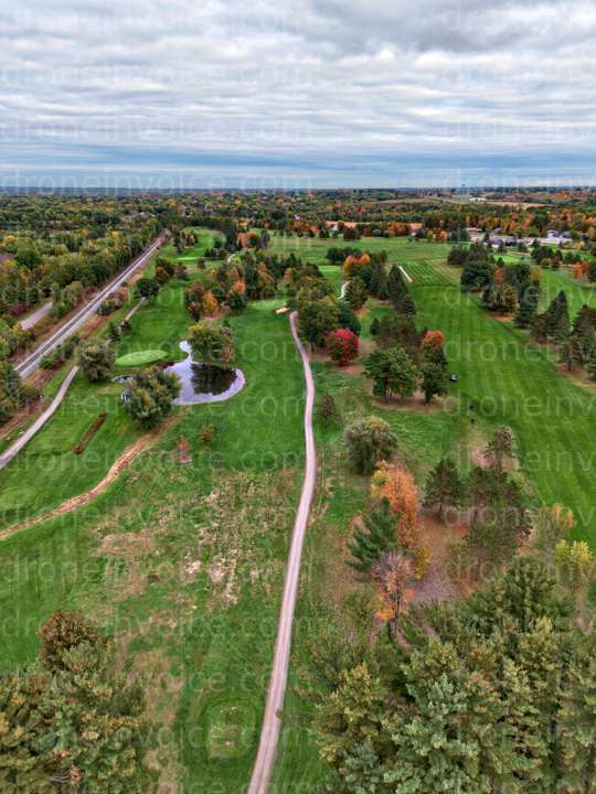
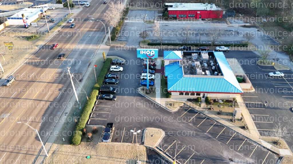
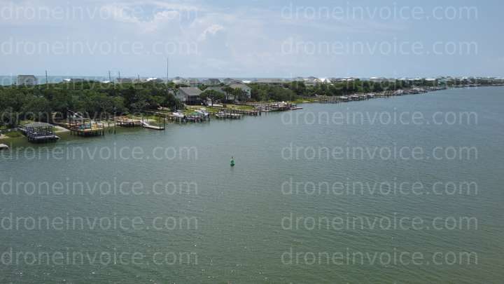
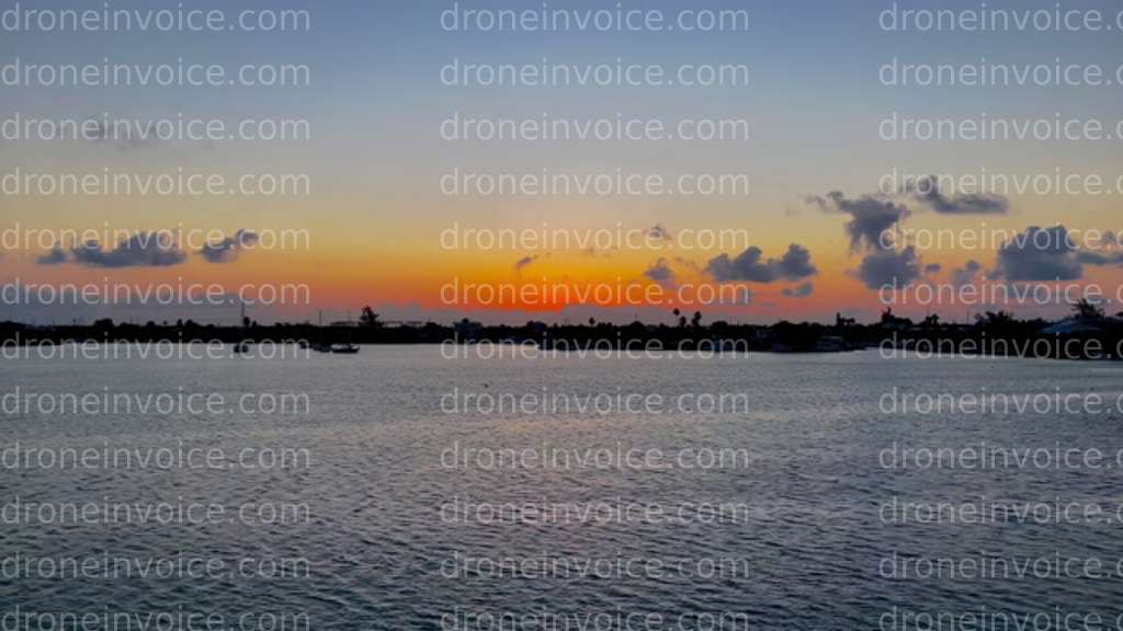
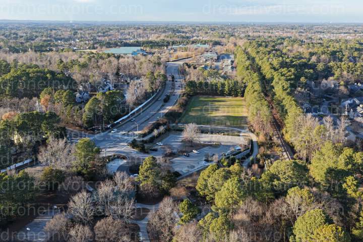
Types of Drone Media Available
Our marketplace features a variety of drone content types, each serving different needs. Here’s what you can find:
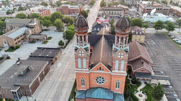
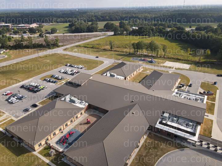
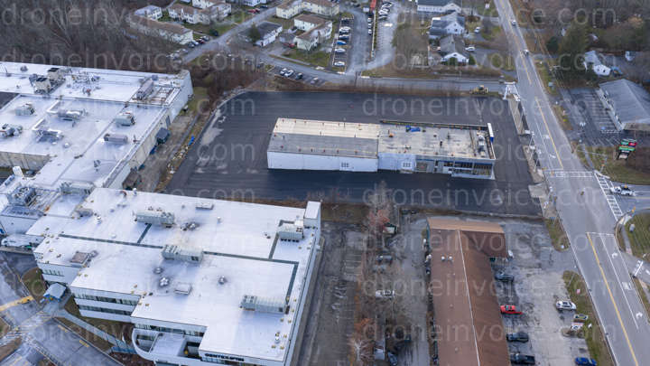
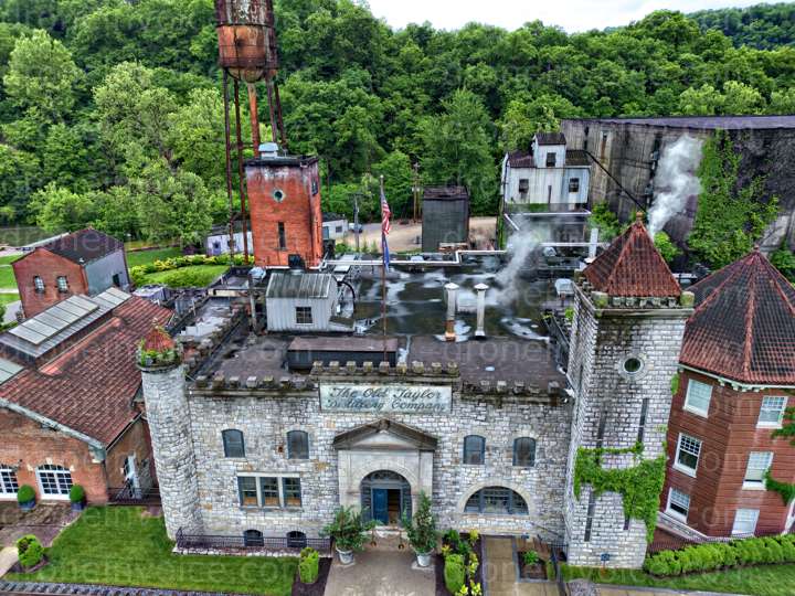
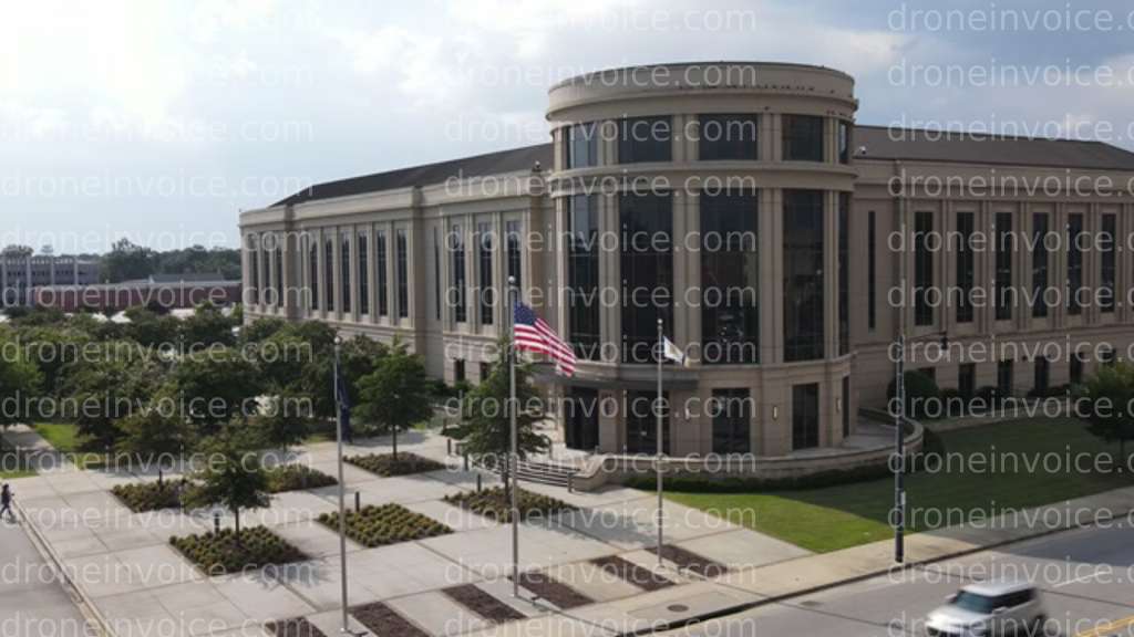
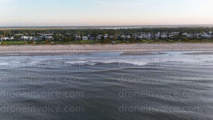
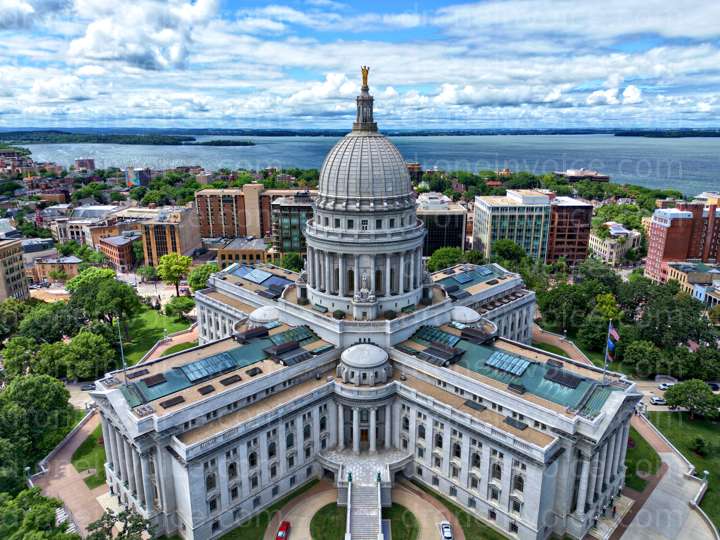
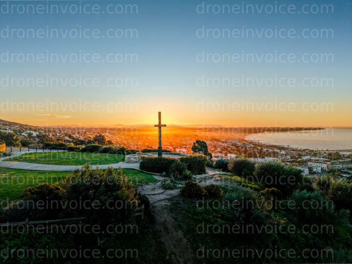
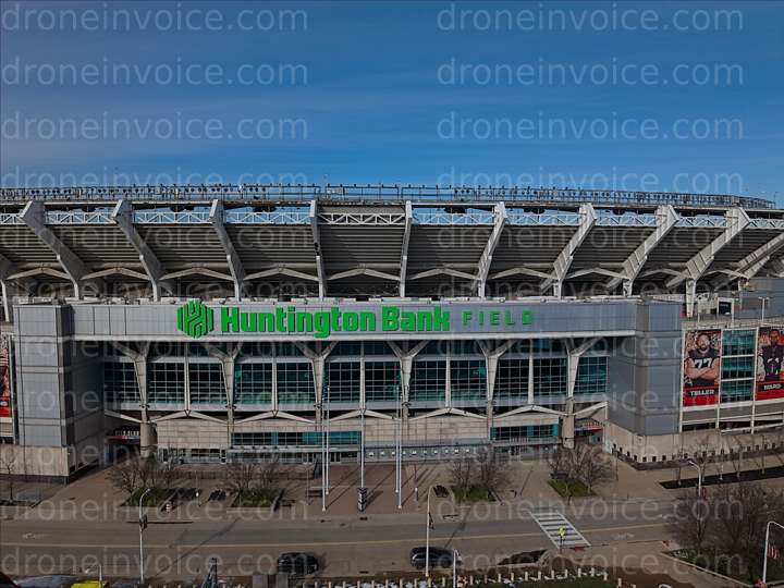
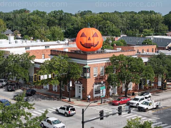
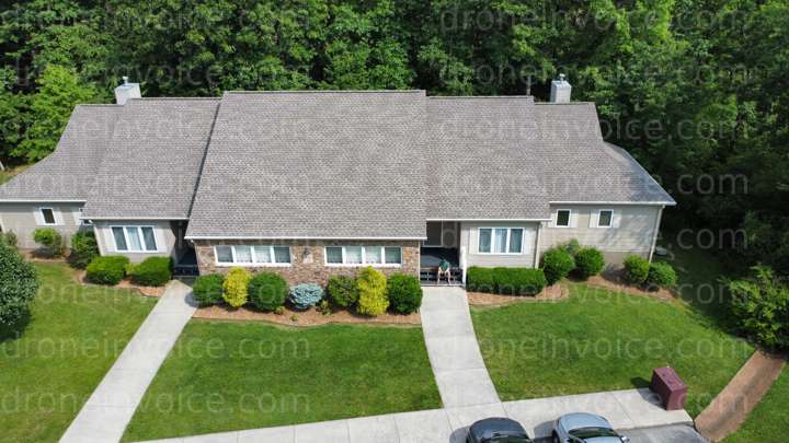
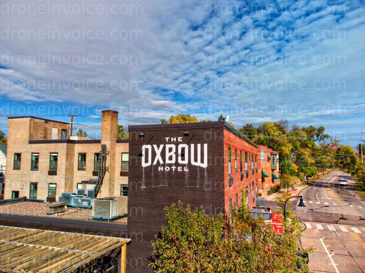
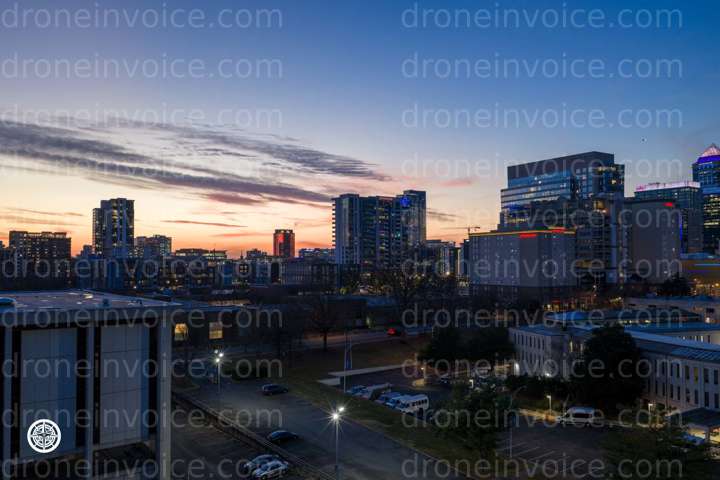
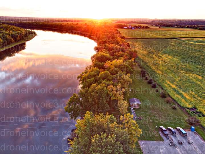
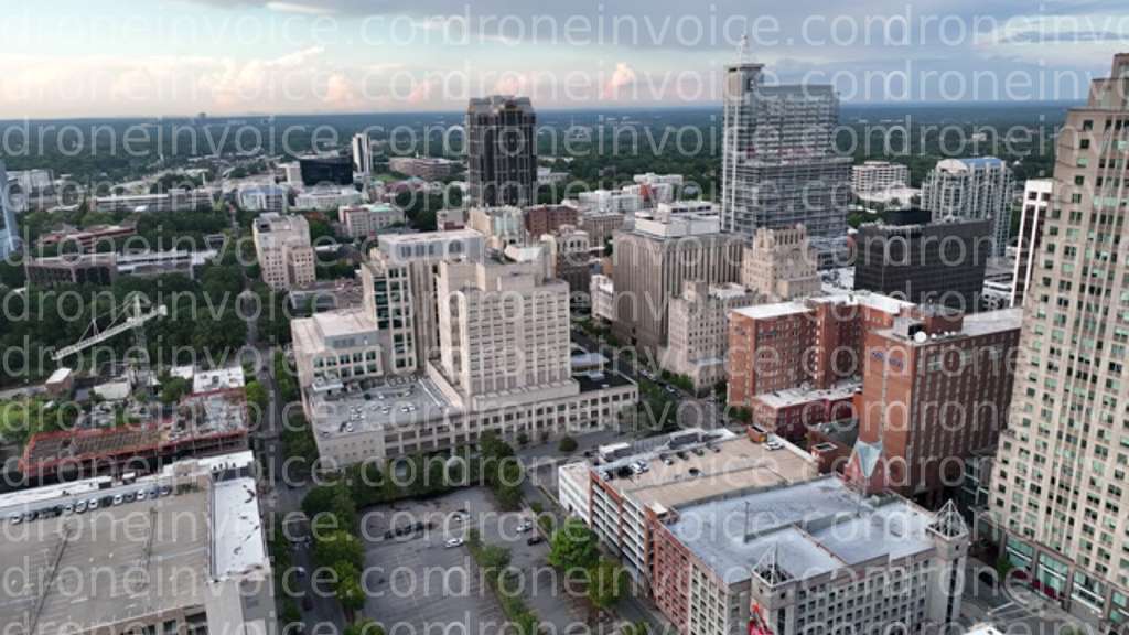
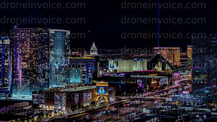
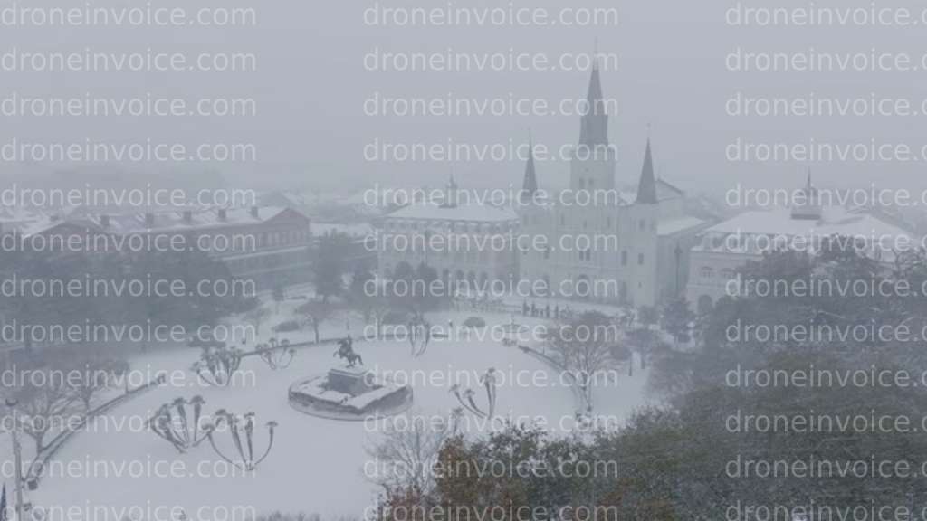
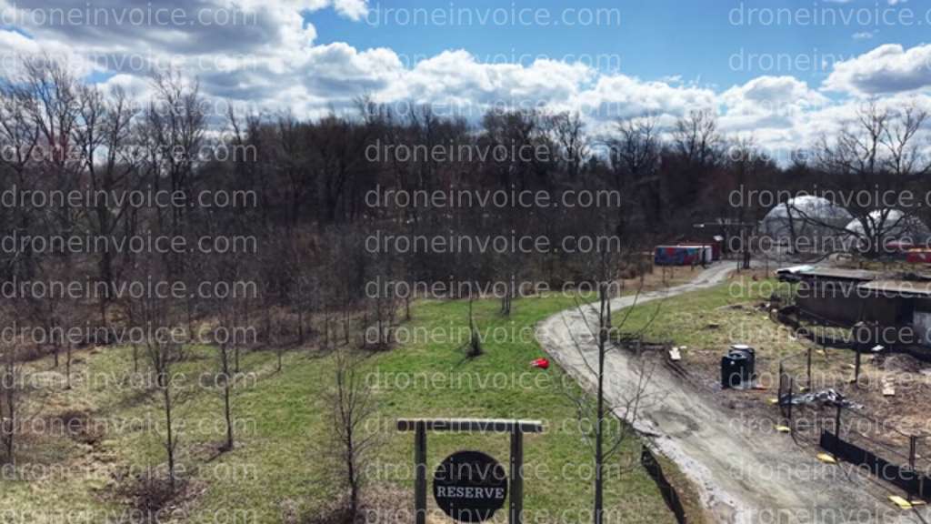
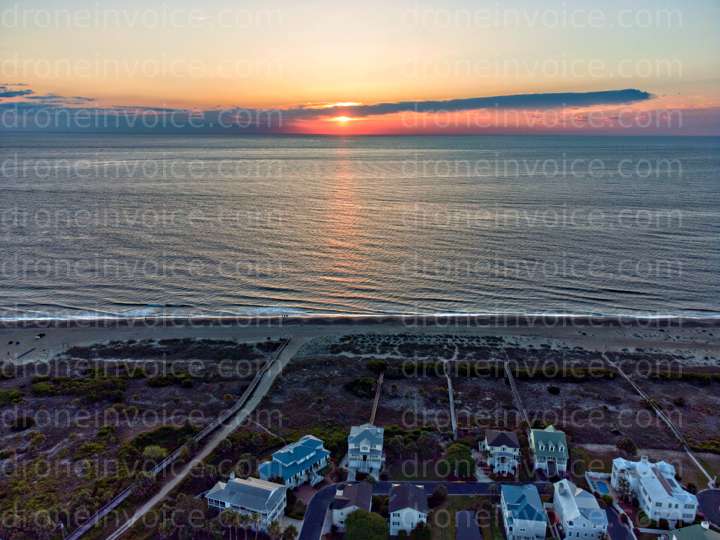
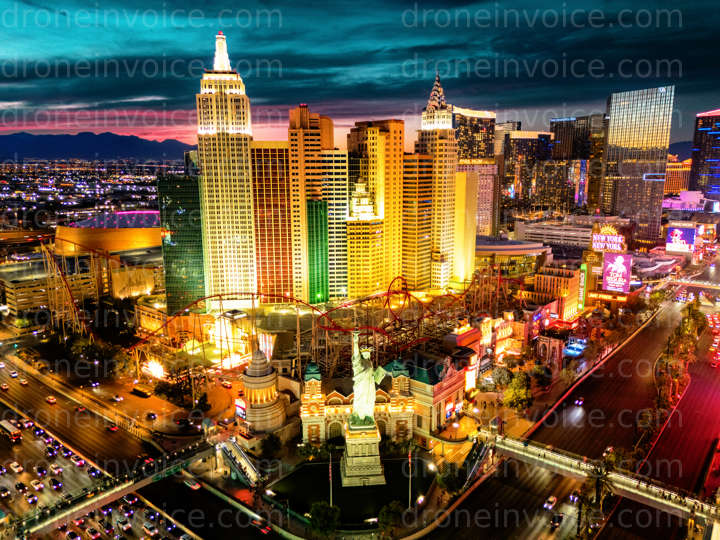
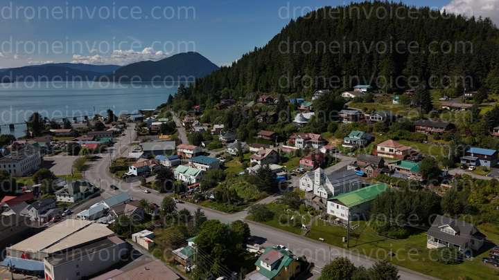
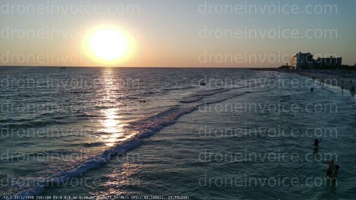
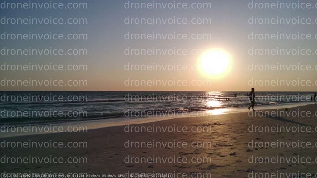
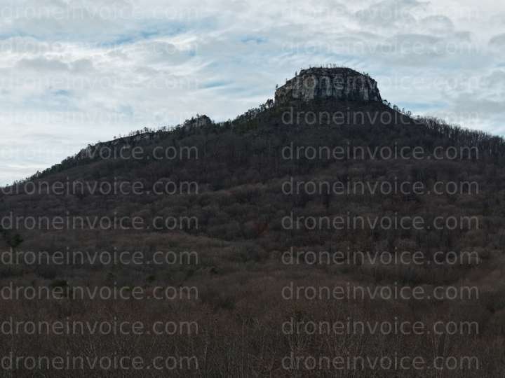
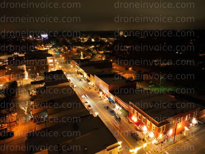
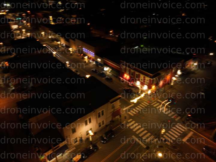
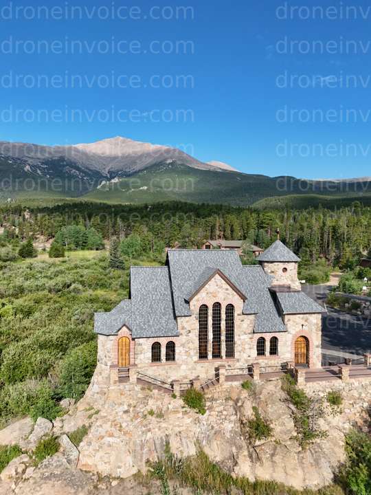
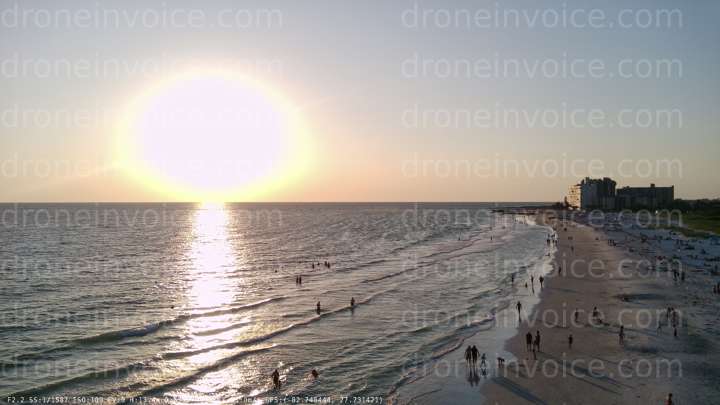
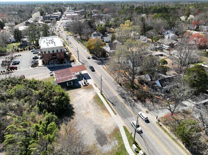
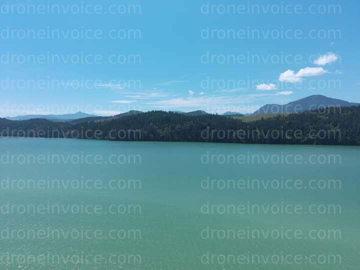
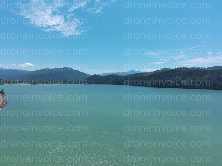
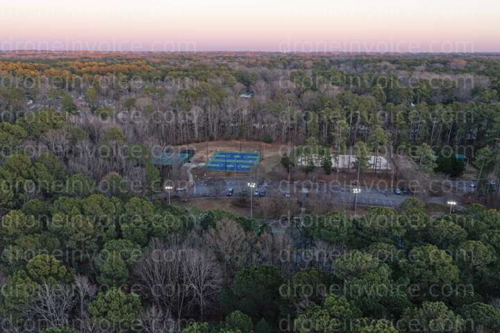
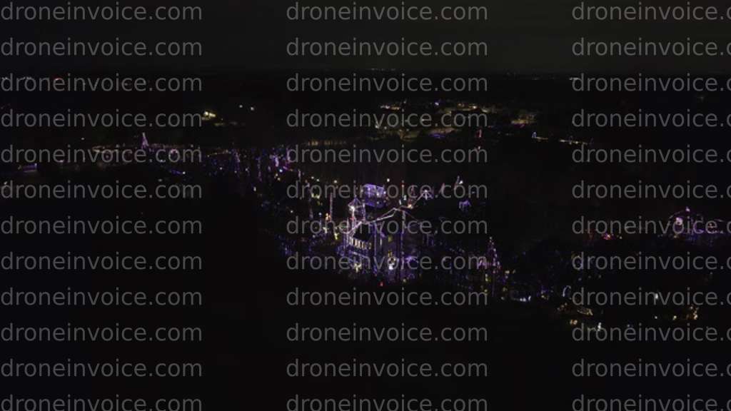
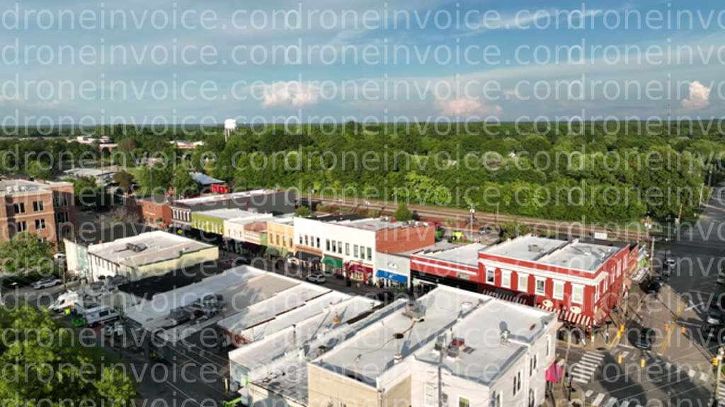
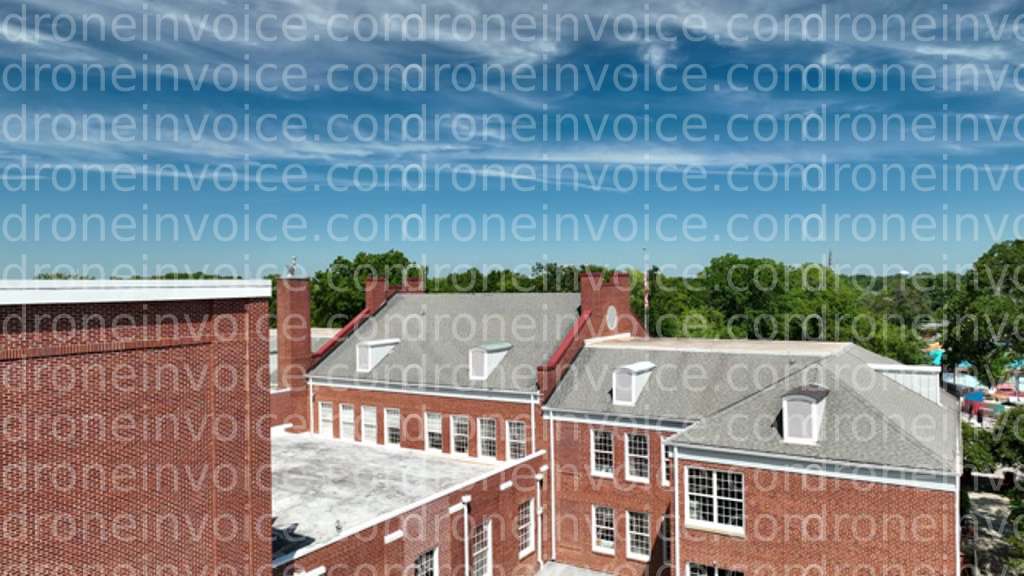
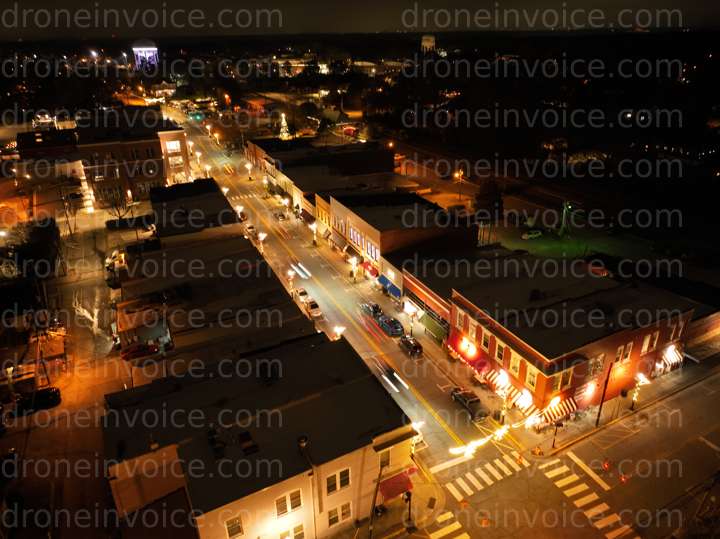
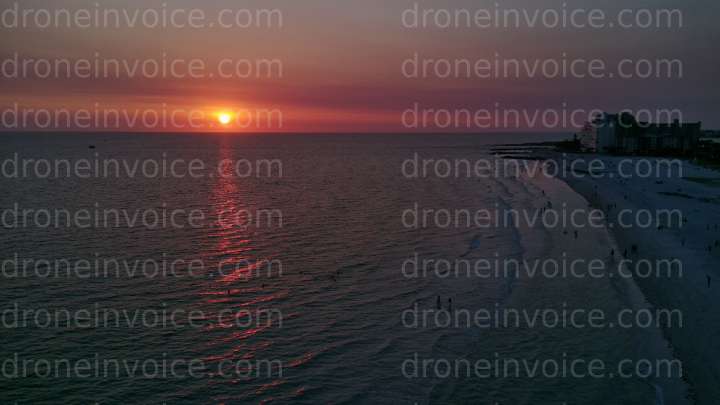
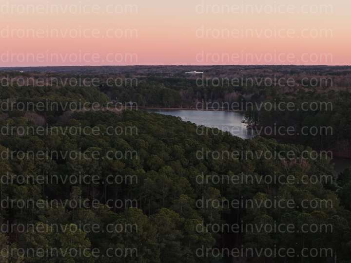
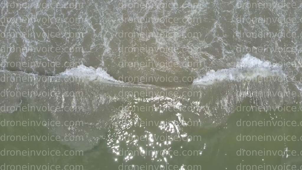
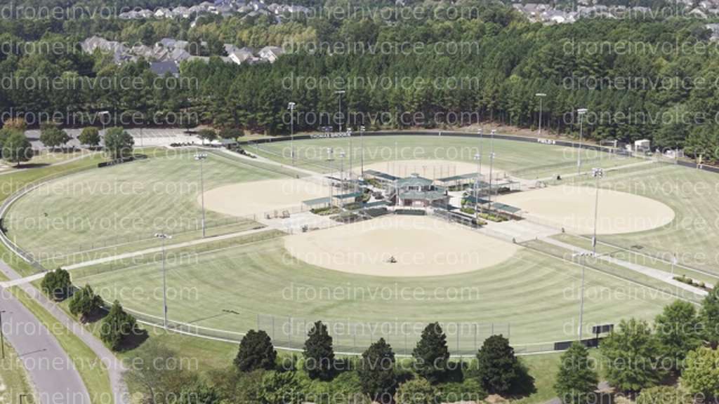
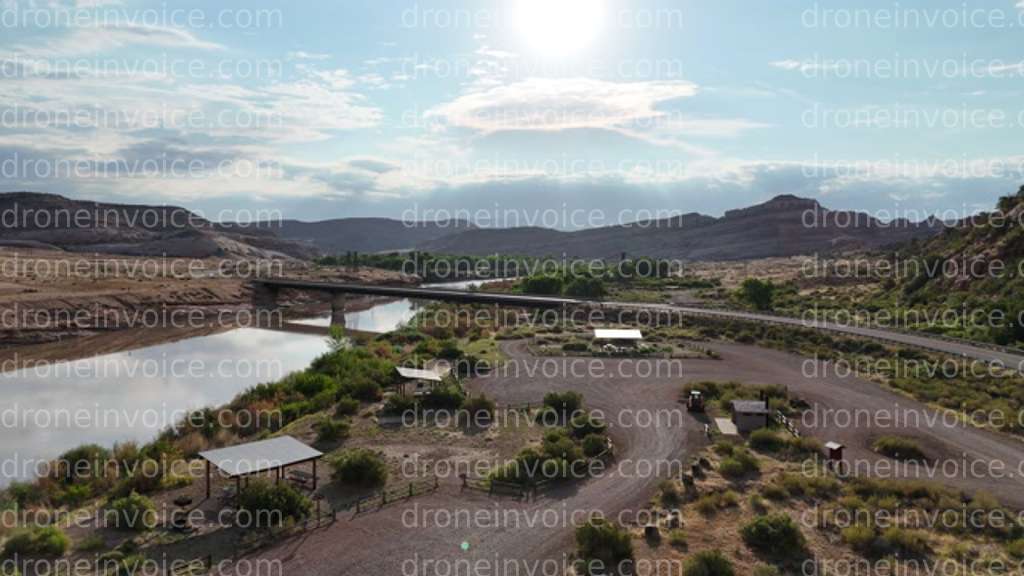
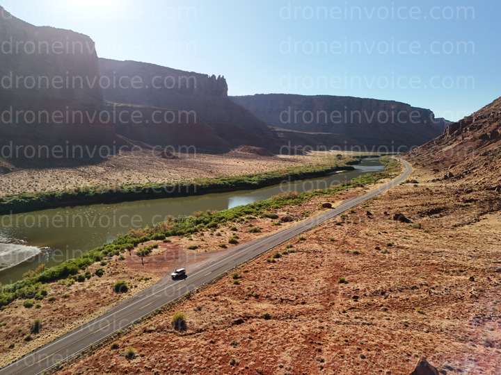
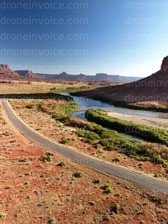
- Drone Photos: High-resolution aerial images capturing the beauty of landscapes, architecture, and events.
- Drone Videos: Dynamic footage that showcases locations from unique perspectives, perfect for marketing or creative projects.
- Drone Models: 3D models generated from aerial data, useful for architects, urban planners, and developers.
- Drone Maps: Detailed maps created from aerial imagery, valuable for surveys, land assessments, and geographic studies.
- Point Clouds: Complex data sets representing the physical environment, ideal for construction and environmental analysis.
Purchasing Media Licenses
When you purchase drone media from our marketplace, you are not just acquiring stunning visuals; you are also obtaining a commercial license. This license allows you to use the media in various applications, such as:
- Marketing campaigns
- Website content
- Social media posts
- Presentations and reports
Consider the intended use of the media when selecting your license. Different types of licenses may apply based on whether you need the content for personal use, commercial endeavors, or promotional activities.
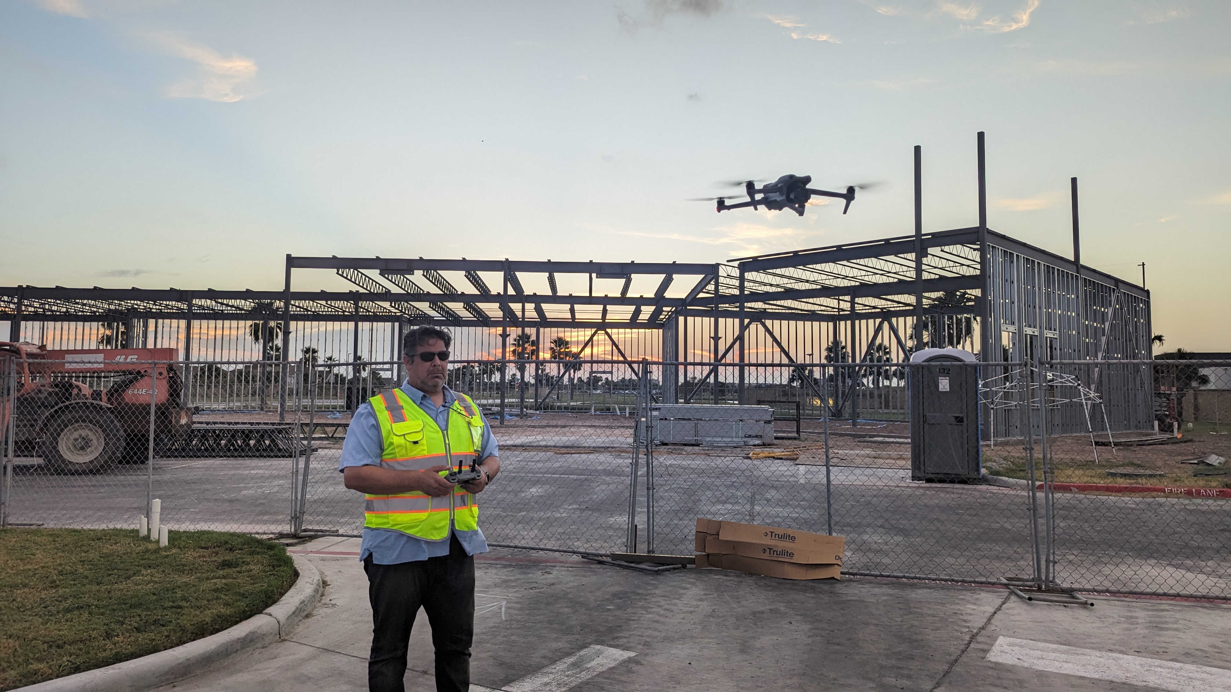
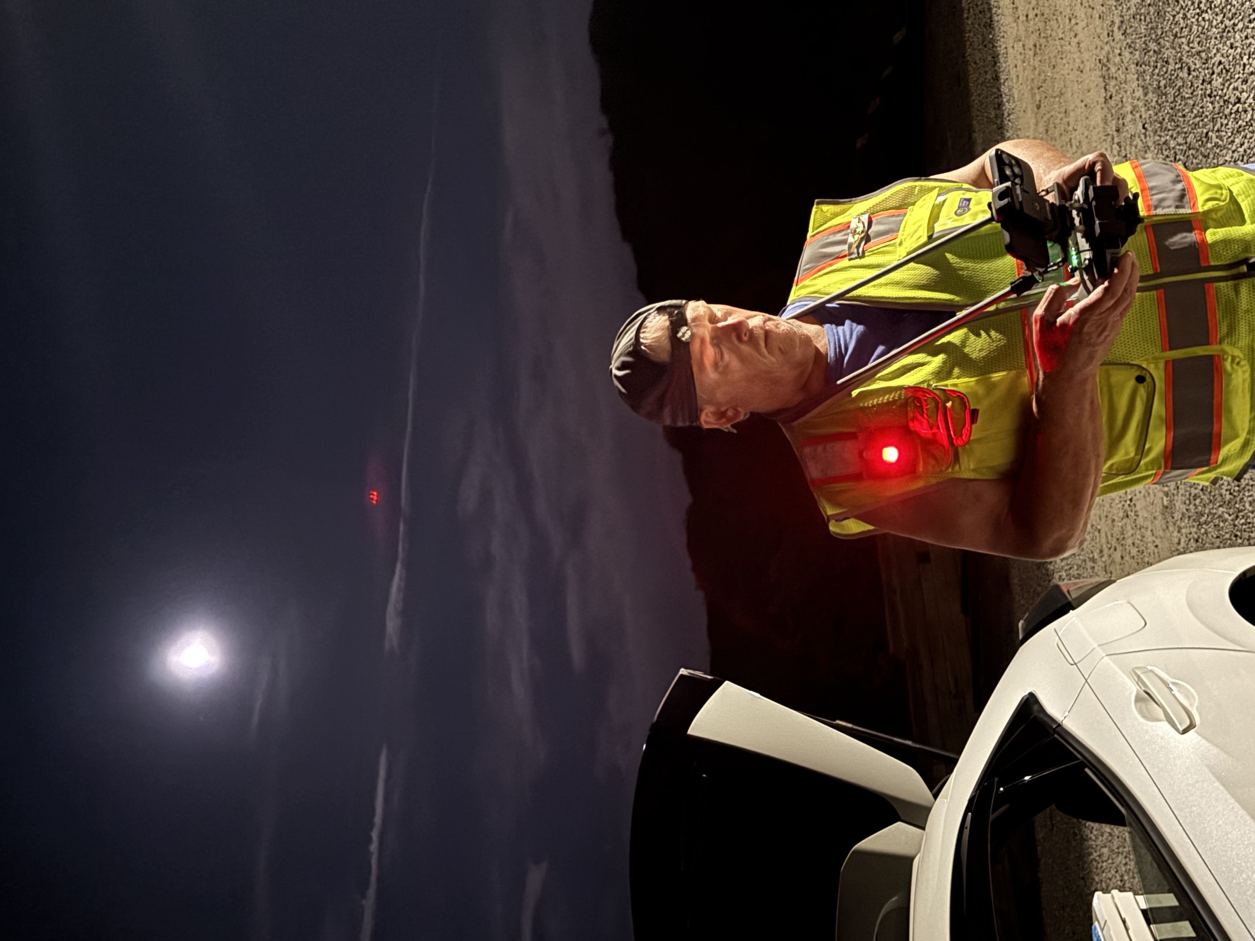
Hiring Drone Pilots
If you need customized aerial content, hiring a qualified drone pilot is an excellent option. Drone pilots for hire are skilled professionals equipped to capture specific visuals tailored to your requirements.
What to Look for When Hiring a Drone Pilot
When selecting a drone pilot, consider the following:
- Certifications: Ensure the pilot has the necessary FAA certifications and licenses to operate commercially.
- Experience: Look for pilots with a proven track record in the type of work you need, whether it's photography, videography, or surveying.
- Portfolio: Review their previous work to assess their style and quality. This can help you determine if they align with your vision.
- Insurance: Confirm that the pilot has liability insurance to protect against potential accidents during the shoot.
- Communication: Choose a pilot who communicates clearly and understands your project goals.
Typical Jobs for Drone Pilots
Drone pilots can handle a range of projects, including:
- Real estate photography and videography
- Construction site monitoring and progress tracking
- Event coverage, such as weddings or festivals
- Aerial mapping and surveying for agriculture and land development
Hiring a professional drone pilot ensures that you receive high-quality content tailored to your specific needs.
Licensing and Usage Guidance
Understanding how to properly license and use drone media is crucial. Here are some key considerations:
- Commercial Use: If you plan to use the content for profit or promotional purposes, ensure your license covers commercial use.
- Attribution: Some licenses may require you to credit the creator of the media. Be sure to check the terms before use.
- Editing Rights: Understand if you have the right to edit or modify the content. Some licenses may restrict alterations.
- Duration: Check the duration of the license to know how long you can use the media.
FAQ
What types of drone media can I purchase?
You can purchase drone photos, videos, 3D models, maps, and point clouds, each available for various uses.
How do I choose the right drone pilot for my project?
Look for certified pilots with relevant experience, a strong portfolio, insurance, and good communication skills.
Can I use purchased drone media for commercial purposes?
Yes, but ensure you select a license that specifically allows for commercial use.
What are point clouds, and how are they used?
Point clouds are 3D data sets used for modeling and analysis in fields like construction, surveying, and environmental studies.
Is it necessary to credit the creator of the media?
Some licenses require attribution, while others do not. Always check the licensing terms to ensure compliance.