Drone Content Marketplace in the US – United States (us)
Drone Content Marketplace in the US The United States offers a diverse range of landscapes and urban environments, making it an ideal location for drone…
Pilots
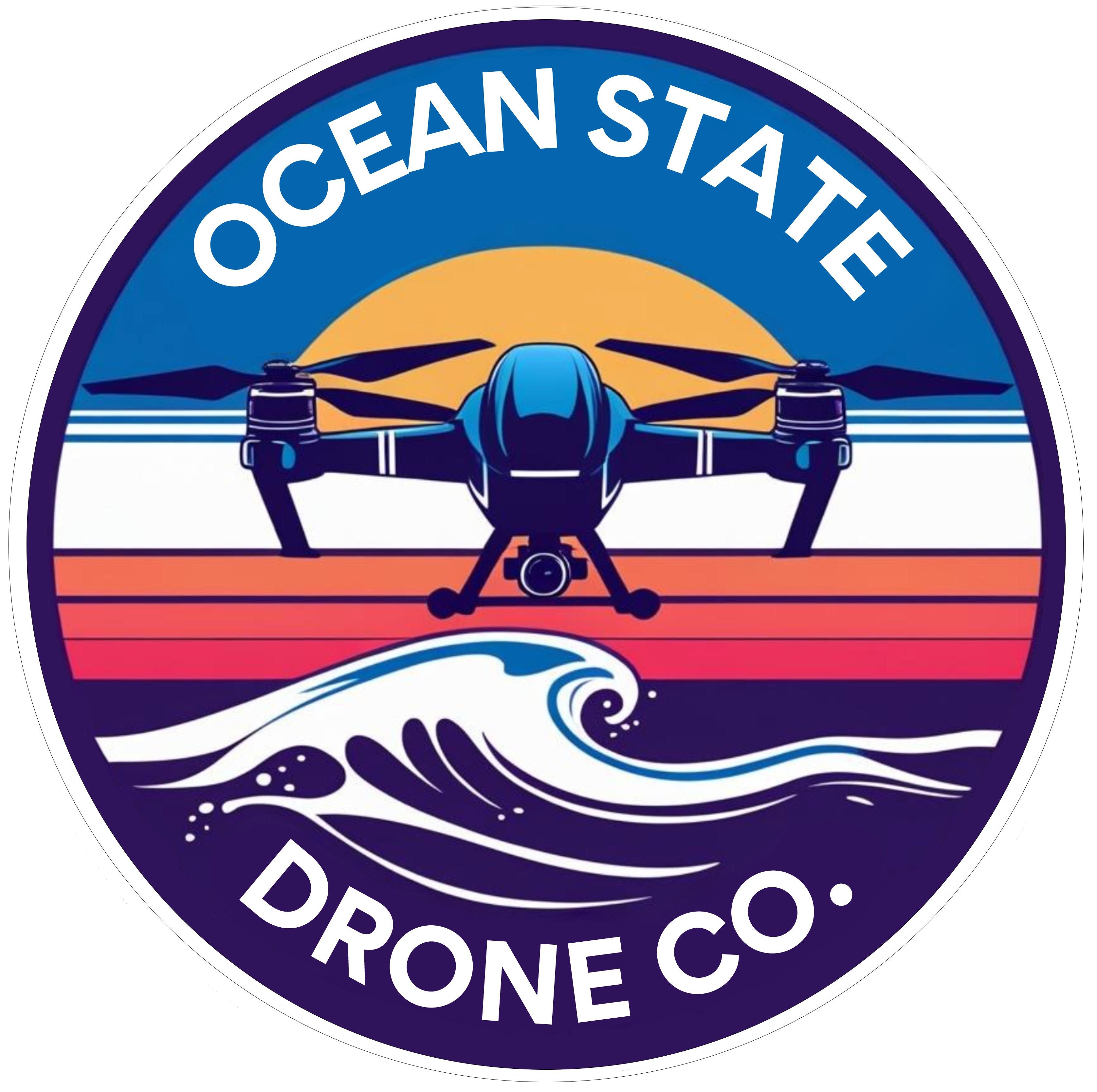
Ocean State Drone Company
License / Certification
FAA Part 107 #5042525
CVS
License / Certification
FAA Part 107 # 5277635
Chicagoland Aerial
License / Certification
FAA Part 107 Cert #4877215
Robert Soto
License / Certification
5497132
Aerial Insights
License / Certification
Part 107# 5124681
Goose's Aerial Services
License / Certification
FAA Part 107 #4970555

TerraVista Aerial Solutions
License / Certification
4534629

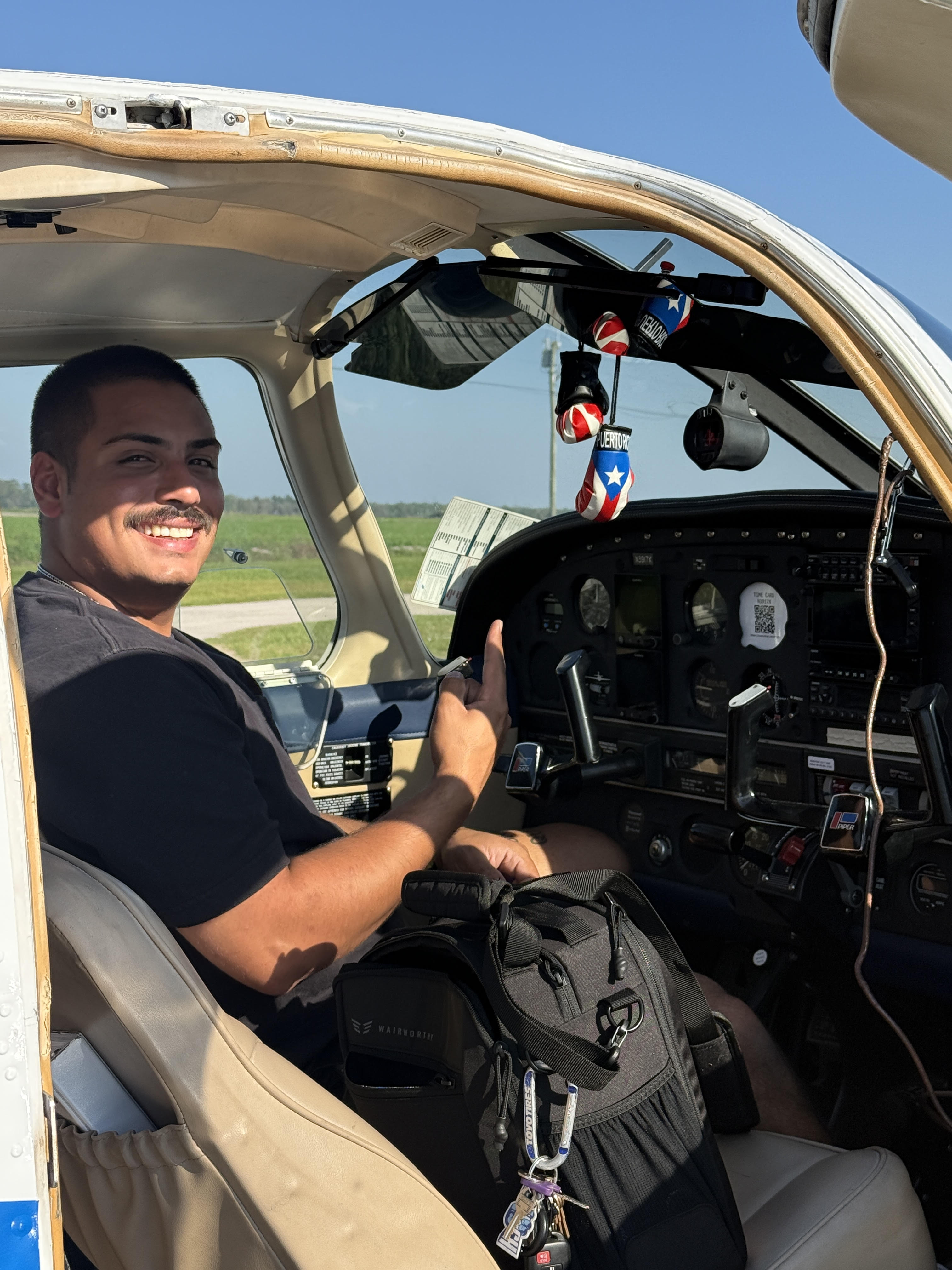
Travis
License / Certification
5073129
New England Aerial Photography, LLC
License / Certification
4916148

UE Drone Solutions
License / Certification
FAA Part 107
SkyeTech Aerial
License / Certification
FAA Part 107

Scott
THE RESOURCE INC
License / Certification
Partn107 license
local 2001
License / Certification
5241266

A Parrott's View
License / Certification
4772092
Kamil
License / Certification
FAA Part 107 # 4606418

Charles Uibel
Organic Truth

WeKeD
License / Certification
pending
Intercept aerial solutions
Jamar
License / Certification
5319422

John Daily
License / Certification
4757524

Halls Aerial Services
License / Certification
5022395

ArchAngel Drone Photography
License / Certification
5240271
York Aero
License / Certification
FAA Part 107 #3954954
Helix Aerial Solutions
License / Certification
5143519
Invoices
Showing 30 of 475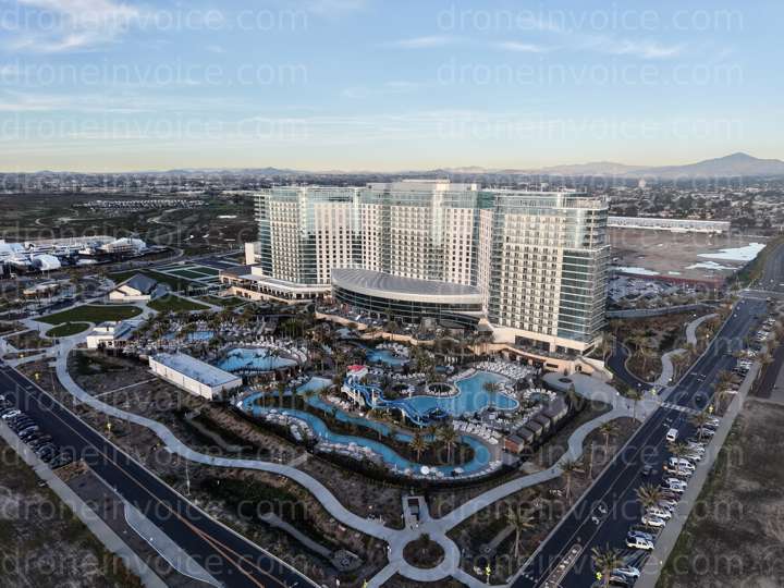

Media
Showing 30 of 4760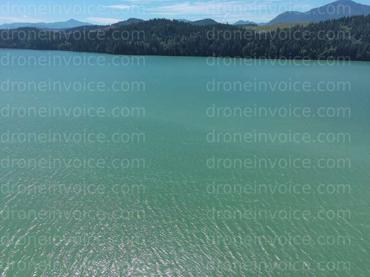
2022-07-21
2025-11-29
2025-11-28
2025-11-28
2025-11-28
2025-10-25
2025-10-24
2025-10-15
2025-09-26
2025-09-26
2025-08-10

2025-05-21
2024-12-19
2024-12-14
2024-07-31
2024-07-28
2024-05-11
2025-12-19
2025-08-02
2025-08-01
2025-05-02
2024-08-04
2024-07-30
2024-05-11
2024-05-11
2022-07-21
2026-01-02
2025-12-16
2025-11-29
2025-11-27
Drone Content Marketplace in the US
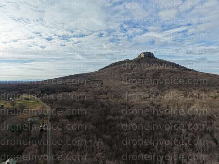
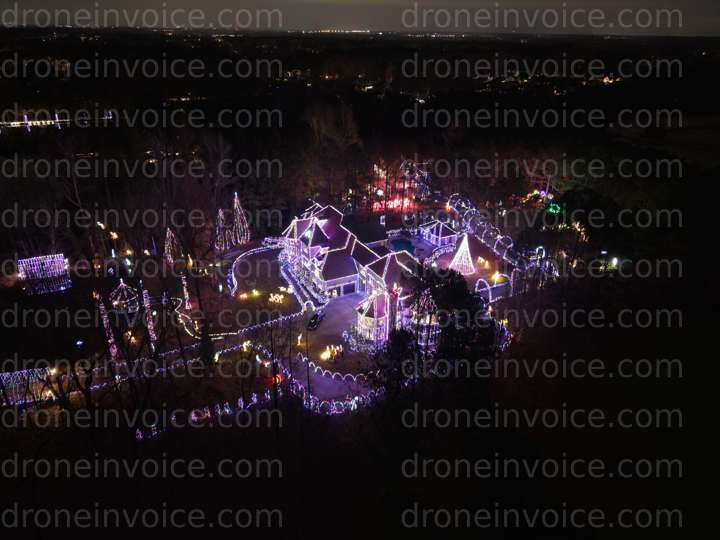
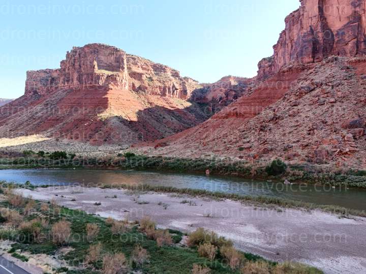
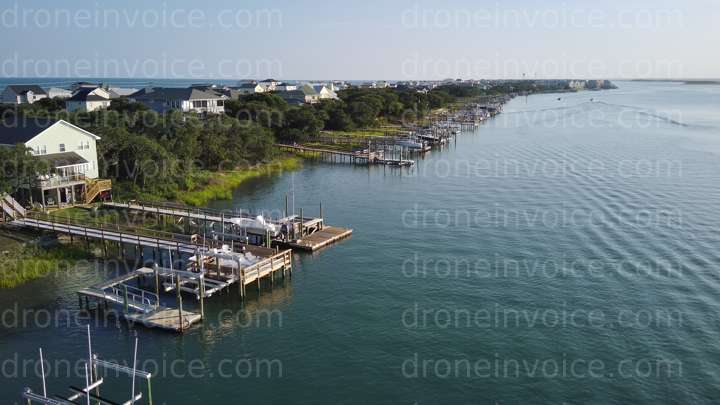
The United States offers a diverse range of landscapes and urban environments, making it an ideal location for drone content. From stunning national parks to bustling cityscapes, the potential for breathtaking visuals is vast. This page provides information on the various types of drone media available for purchase, as well as options for hiring qualified drone pilots.
Types of Drone Media Available
Our marketplace features a variety of drone content types, each serving different needs. Here’s what you can find:
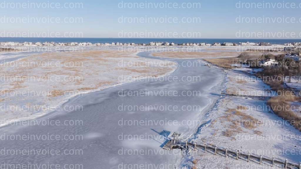
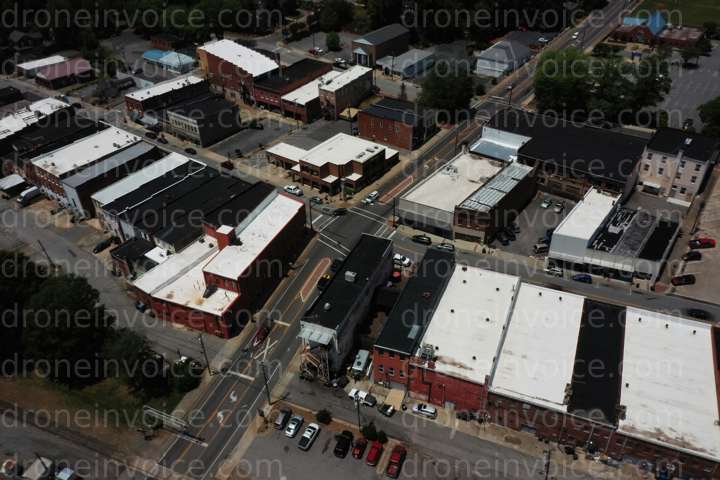
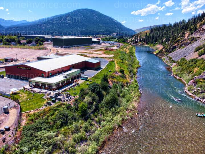
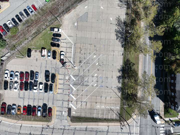
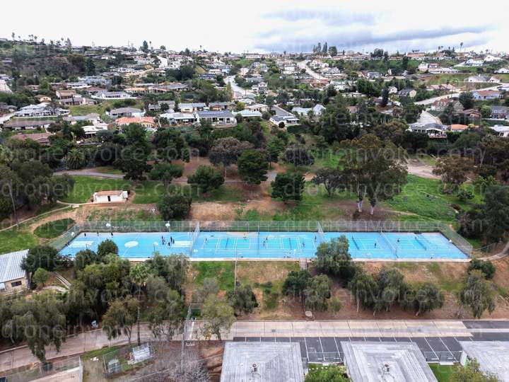
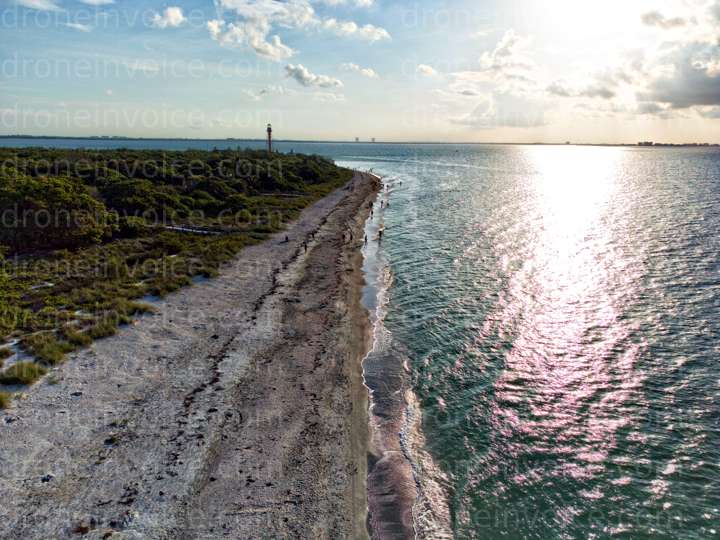
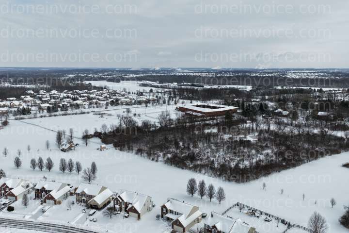
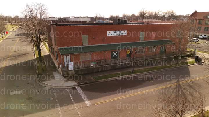
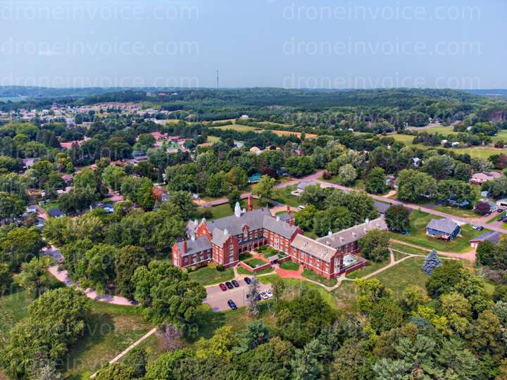
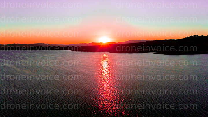
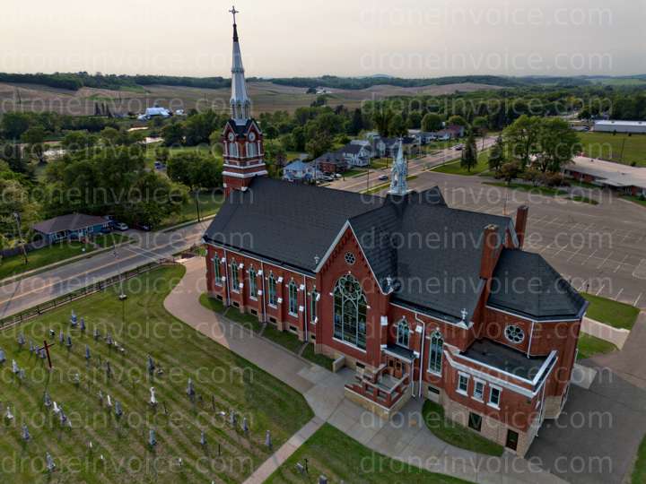
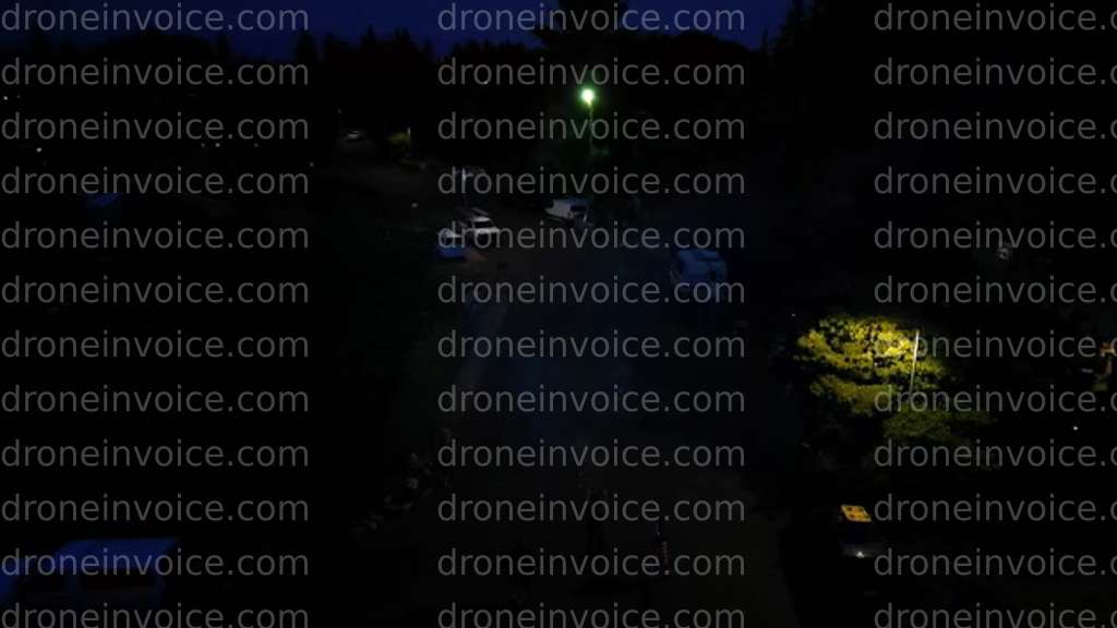
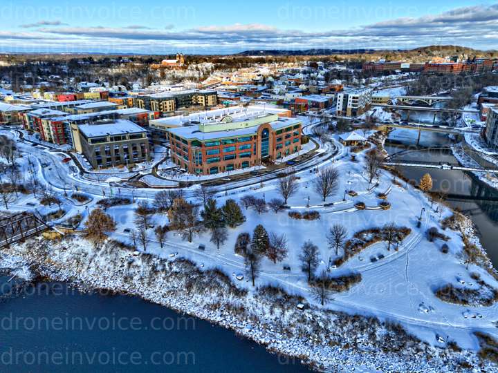
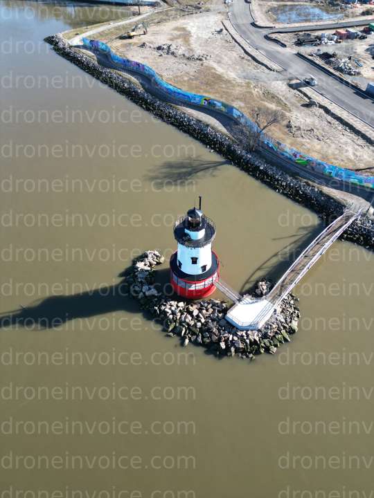
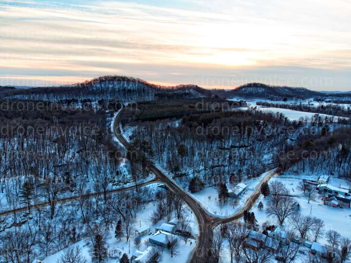
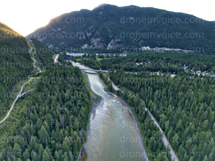
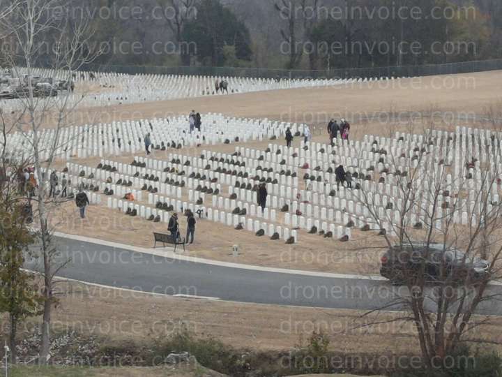
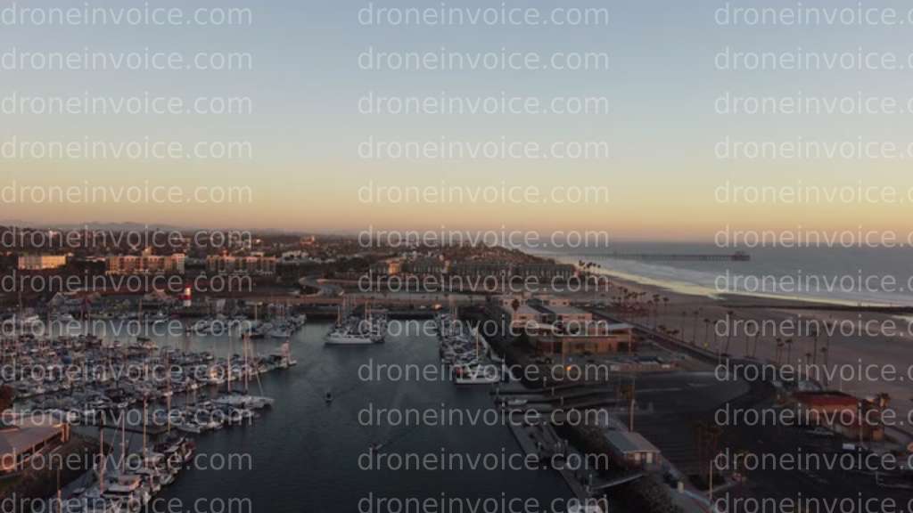
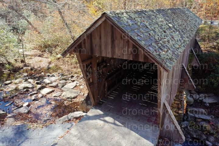
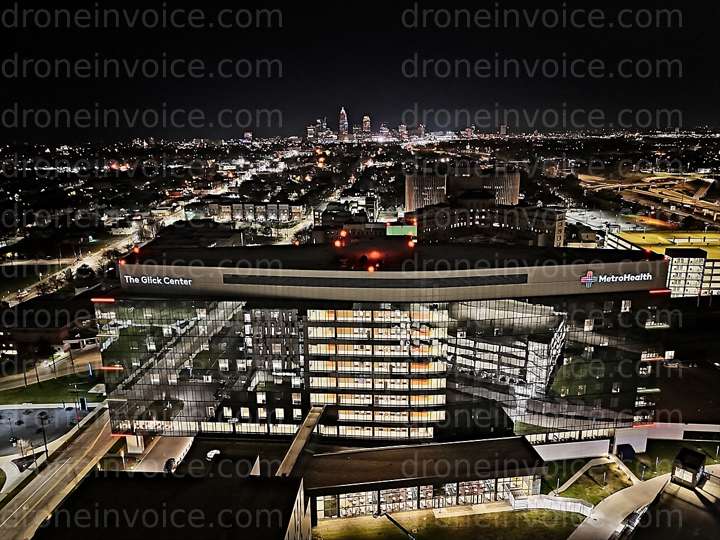
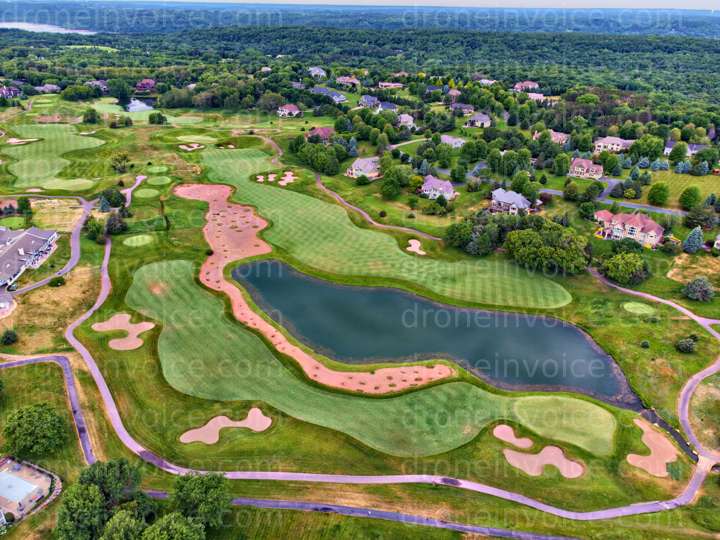
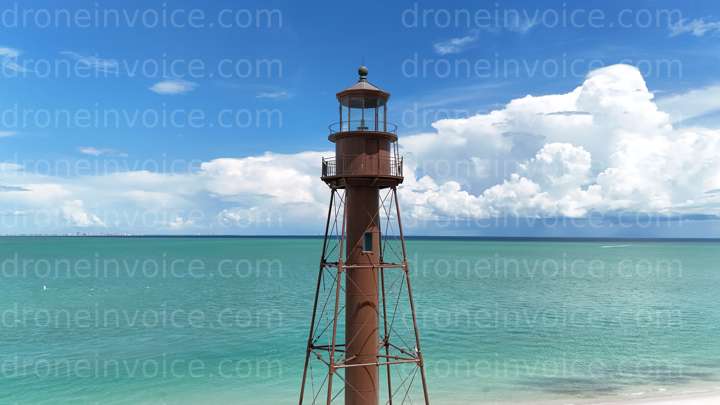
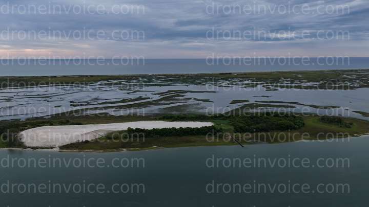
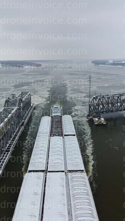
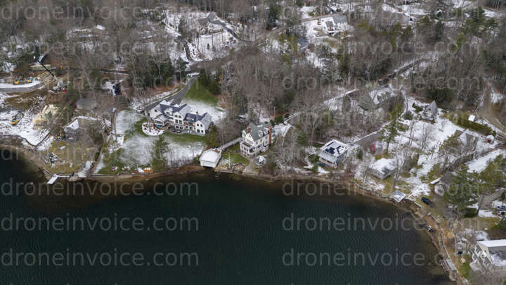
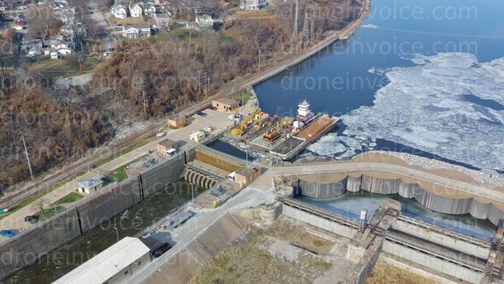
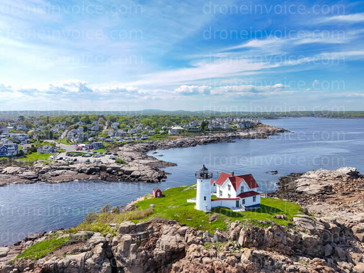
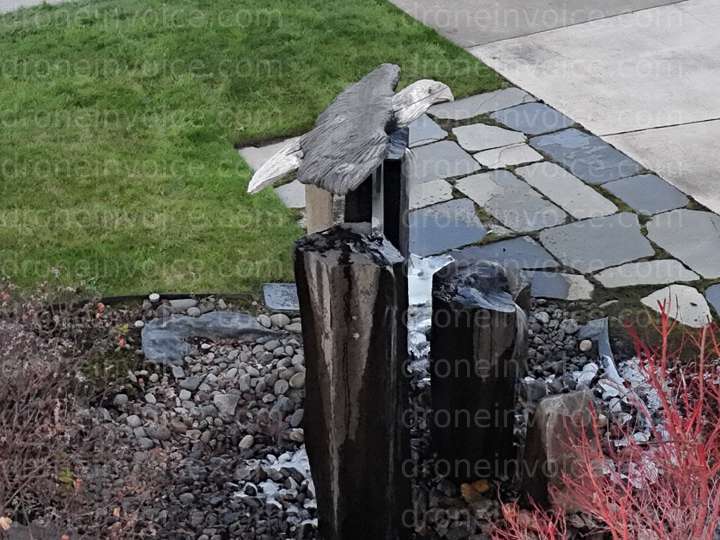
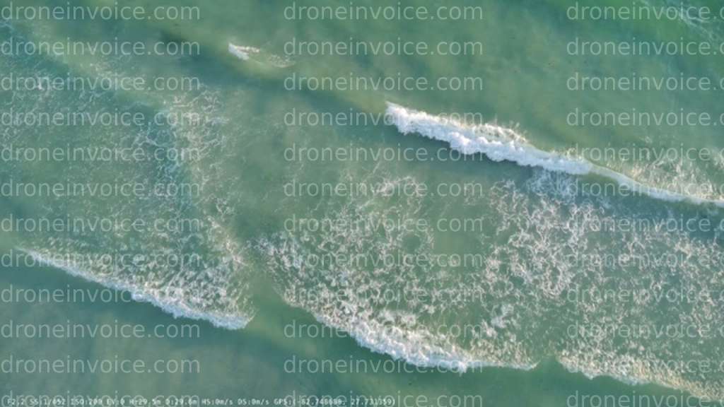
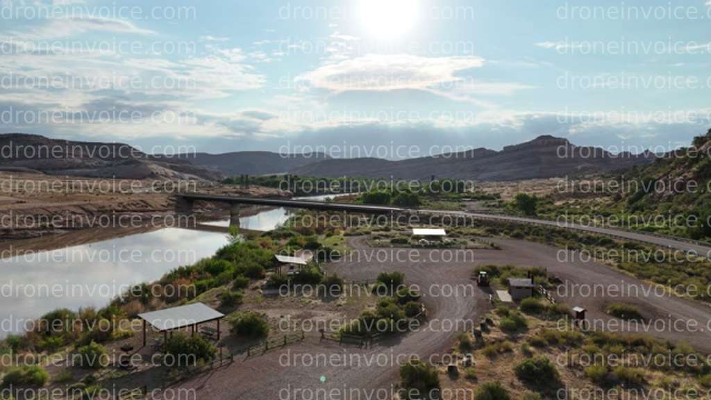
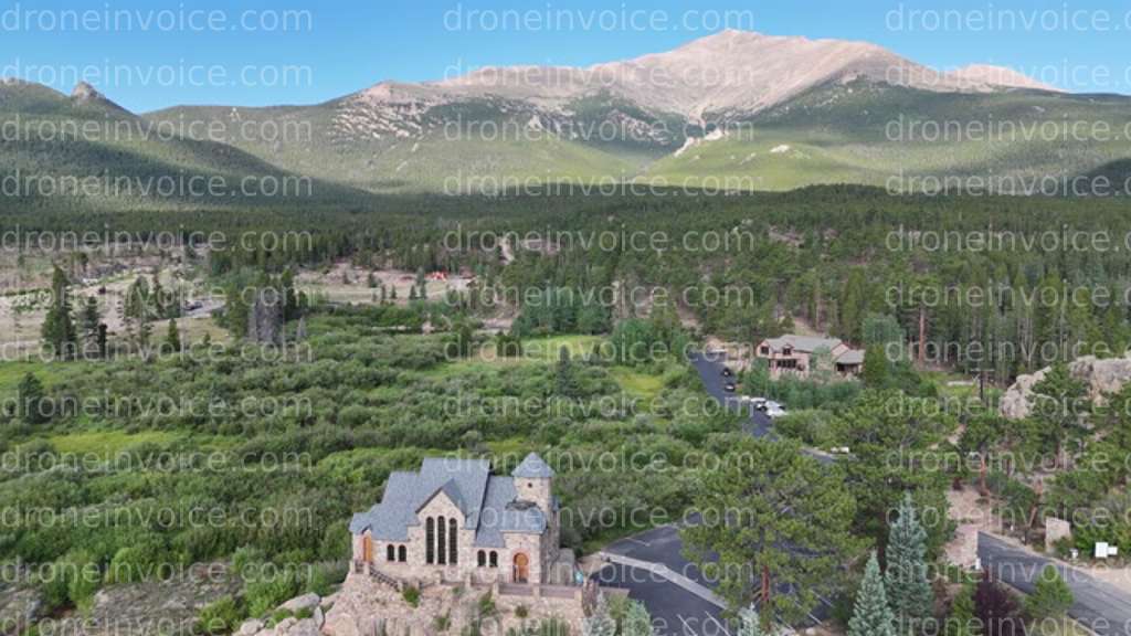
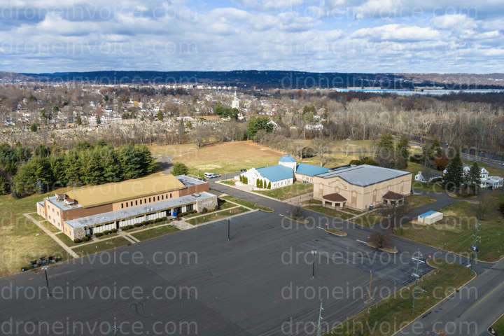
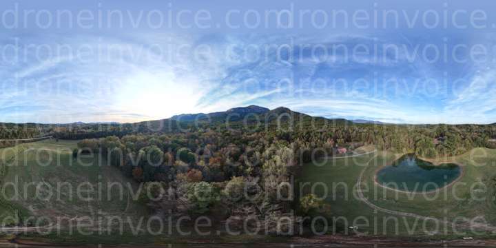
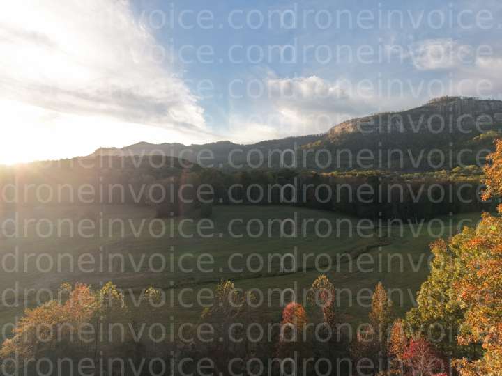
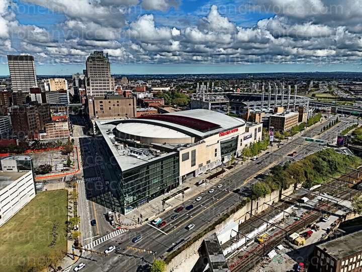
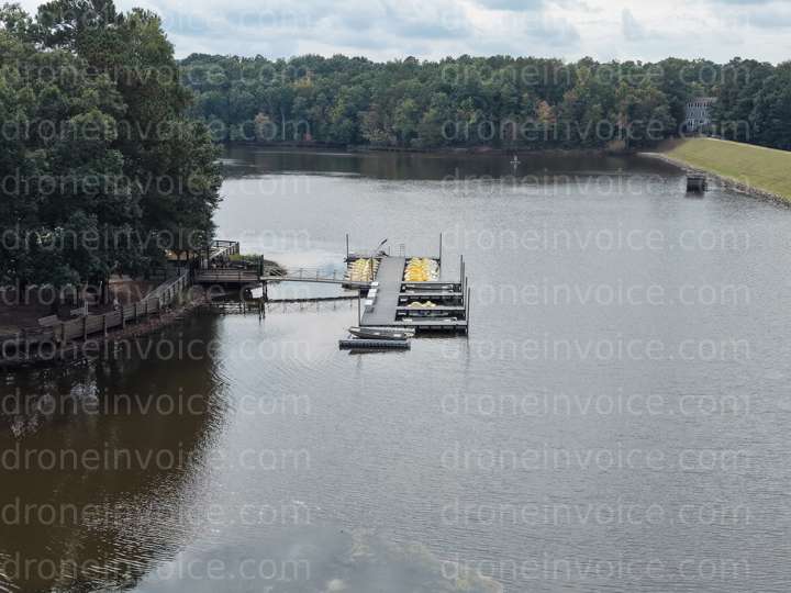
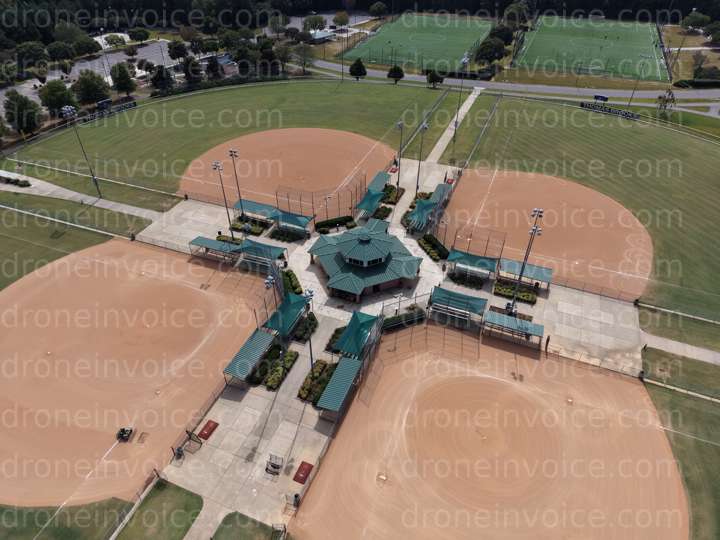
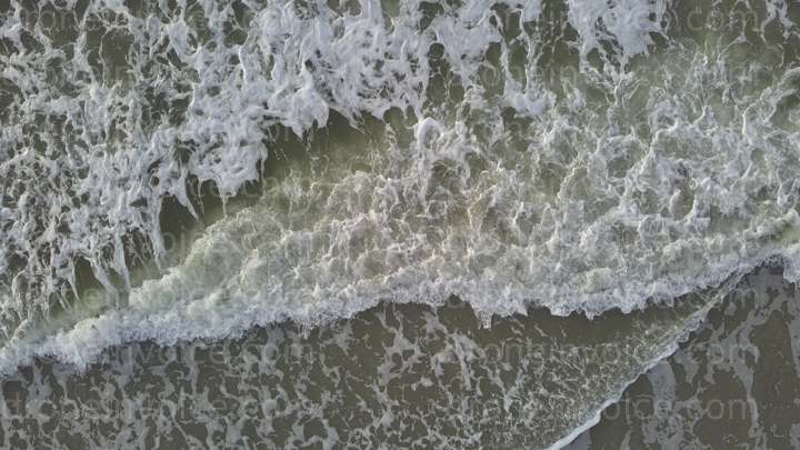
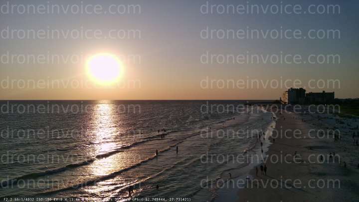
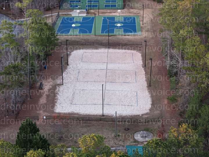
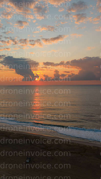
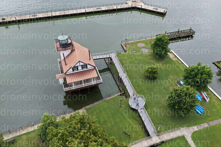
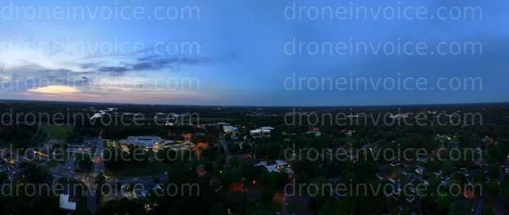
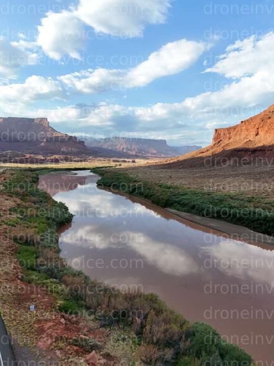
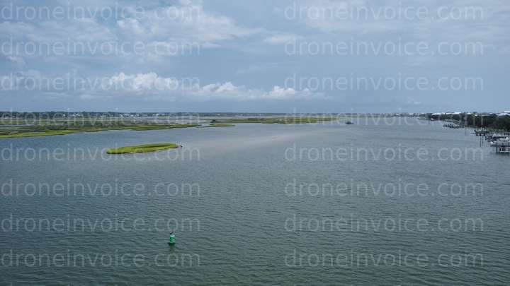
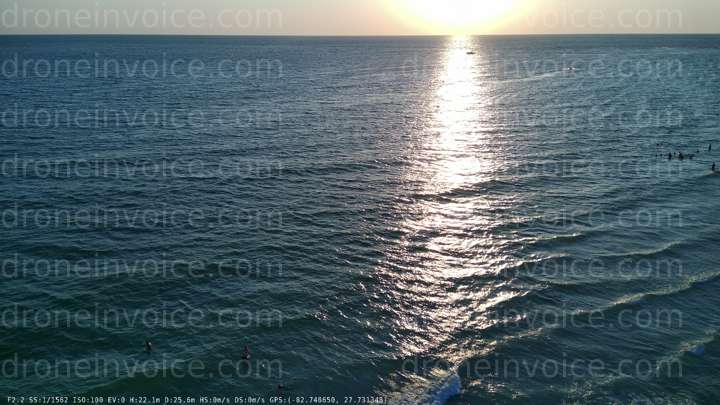
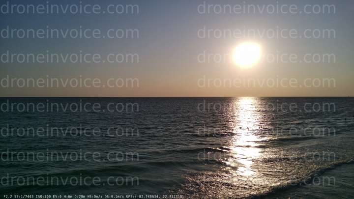
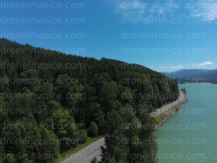
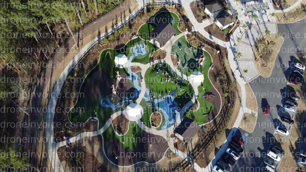
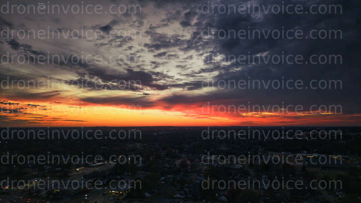
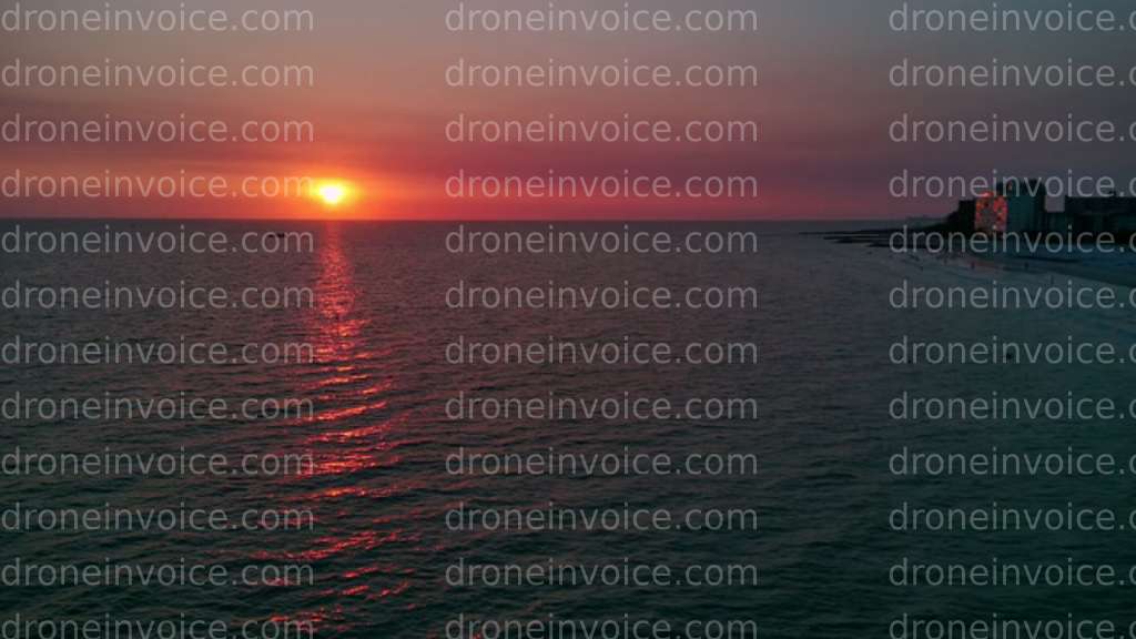
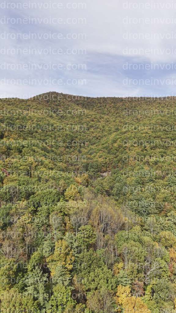
- Drone Photos: High-resolution aerial images capturing the beauty of landscapes, architecture, and events.
- Drone Videos: Dynamic footage that showcases locations from unique perspectives, perfect for marketing or creative projects.
- Drone Models: 3D models generated from aerial data, useful for architects, urban planners, and developers.
- Drone Maps: Detailed maps created from aerial imagery, valuable for surveys, land assessments, and geographic studies.
- Point Clouds: Complex data sets representing the physical environment, ideal for construction and environmental analysis.
Purchasing Media Licenses
When you purchase drone media from our marketplace, you are not just acquiring stunning visuals; you are also obtaining a commercial license. This license allows you to use the media in various applications, such as:
- Marketing campaigns
- Website content
- Social media posts
- Presentations and reports
Consider the intended use of the media when selecting your license. Different types of licenses may apply based on whether you need the content for personal use, commercial endeavors, or promotional activities.
Hiring Drone Pilots
If you need customized aerial content, hiring a qualified drone pilot is an excellent option. Drone pilots for hire are skilled professionals equipped to capture specific visuals tailored to your requirements.
What to Look for When Hiring a Drone Pilot
When selecting a drone pilot, consider the following:
- Certifications: Ensure the pilot has the necessary FAA certifications and licenses to operate commercially.
- Experience: Look for pilots with a proven track record in the type of work you need, whether it's photography, videography, or surveying.
- Portfolio: Review their previous work to assess their style and quality. This can help you determine if they align with your vision.
- Insurance: Confirm that the pilot has liability insurance to protect against potential accidents during the shoot.
- Communication: Choose a pilot who communicates clearly and understands your project goals.
Typical Jobs for Drone Pilots
Drone pilots can handle a range of projects, including:
- Real estate photography and videography
- Construction site monitoring and progress tracking
- Event coverage, such as weddings or festivals
- Aerial mapping and surveying for agriculture and land development
Hiring a professional drone pilot ensures that you receive high-quality content tailored to your specific needs.
Licensing and Usage Guidance
Understanding how to properly license and use drone media is crucial. Here are some key considerations:
- Commercial Use: If you plan to use the content for profit or promotional purposes, ensure your license covers commercial use.
- Attribution: Some licenses may require you to credit the creator of the media. Be sure to check the terms before use.
- Editing Rights: Understand if you have the right to edit or modify the content. Some licenses may restrict alterations.
- Duration: Check the duration of the license to know how long you can use the media.
FAQ
What types of drone media can I purchase?
You can purchase drone photos, videos, 3D models, maps, and point clouds, each available for various uses.
How do I choose the right drone pilot for my project?
Look for certified pilots with relevant experience, a strong portfolio, insurance, and good communication skills.
Can I use purchased drone media for commercial purposes?
Yes, but ensure you select a license that specifically allows for commercial use.
What are point clouds, and how are they used?
Point clouds are 3D data sets used for modeling and analysis in fields like construction, surveying, and environmental studies.
Is it necessary to credit the creator of the media?
Some licenses require attribution, while others do not. Always check the licensing terms to ensure compliance.