Maps of Maryland Available for Purchase – Baltimore, Maryland (MD), United States (US)
Maps of Maryland Available for Purchase Maryland, located in the Mid-Atlantic region of the United States, is known for its diverse geography which…
Media
Showing 1 of 1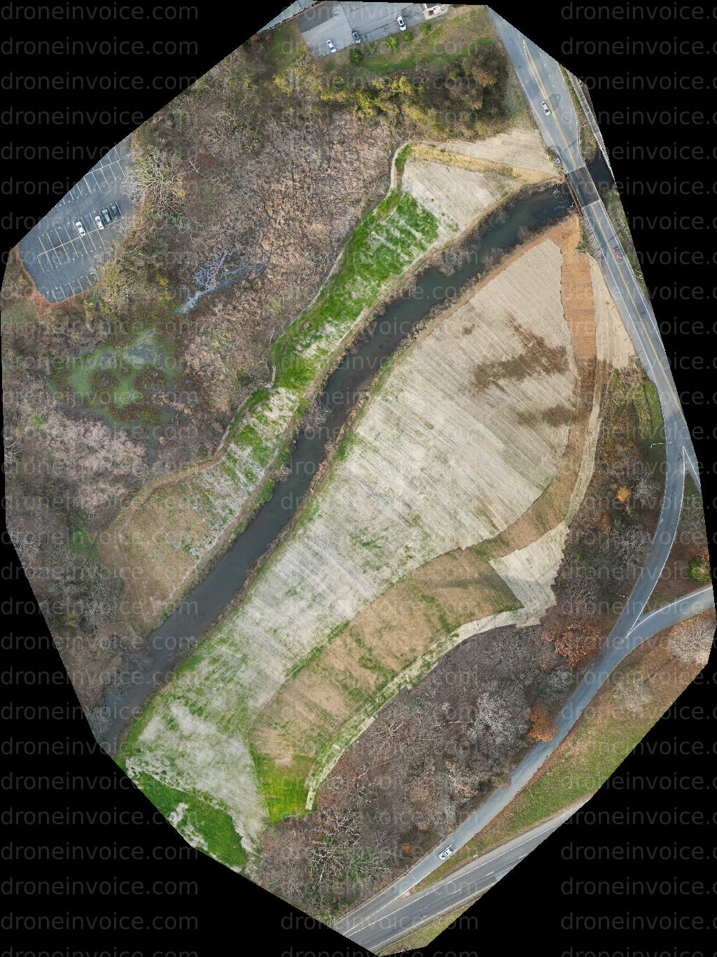
2026-01-08
Maps of Maryland Available for Purchase
Maryland, located in the Mid-Atlantic region of the United States, is known for its diverse geography which ranges from coastal plains to rolling hills and mountains. The state boasts a rich history and a variety of landscapes, including the Chesapeake Bay, the Appalachian Mountains, and numerous urban settings. This makes Maryland a unique location for capturing detailed maps that can be useful for various projects.
On this page, you will find a selection of high-quality maps of Maryland. These maps can serve multiple purposes, from educational uses to real estate planning, tourism, and outdoor activities. Whether you’re looking for topographical maps, political boundaries, or themed maps focusing on specific areas, we have a range of options available for purchase.
Types of Maps Available
- Topographical Maps: These maps provide a detailed view of the terrain, including elevation changes, which is ideal for hikers, planners, and outdoor enthusiasts.
- Political Maps: These emphasize boundaries, capitals, and major cities, making them useful for educational purposes and presentations.
- Thematic Maps: These focus on specific themes such as population density, land use, or environmental features, which can be valuable for research and analysis.
- City Maps: Detailed urban maps of Maryland's major cities, including Baltimore and Annapolis, which are perfect for tourists and locals alike.
- Historical Maps: These provide a glimpse into Maryland's past, showcasing how the state has evolved over time.
How to Purchase Maps
Purchasing maps from our marketplace is straightforward. You can browse through the available options, select the map that meets your needs, and complete your purchase securely online. Each map comes with a detailed description, including licensing information, so you can understand how the map can be used.
When you purchase a map, you gain access to various licensing options. Depending on your intended use—be it for commercial purposes, educational presentations, or personal projects—you can choose the appropriate license that fits your needs. Ensure you review the licensing terms before making a purchase.
Benefits of Using High-Quality Maps
- Enhanced Planning: Accurate maps can significantly improve planning and decision-making for businesses, tourism, and outdoor activities.
- Visual Appeal: High-quality maps can enhance presentations, making them visually appealing and informative.
- Data-Driven Insights: Thematic maps can provide insights into demographic trends, environmental issues, and other critical data points.
Why Choose Our Maps?
Our marketplace provides a wide variety of maps created by skilled cartographers and drone pilots. Each map is crafted with attention to detail, ensuring accuracy and quality. By purchasing from us, you support local creators and gain access to exclusive content that you might not find elsewhere.
FAQ
What types of licenses are available for maps?
We offer several licensing options, including personal use, educational use, and commercial use. Each license details how you can use the map, so be sure to review them before purchasing.
Can I use the maps for commercial projects?
Yes, many of our maps are available for commercial use. Ensure you select the appropriate license that allows for commercial applications when purchasing.
How often are new maps added to the marketplace?
We regularly update our collection with new maps. Check back frequently to see the latest additions and unique offerings.
Are there options for custom maps?
Yes, some of our contributors offer custom mapping services. You can discuss your specific requirements with the creators directly through our platform.
What format are the maps available in?
Maps are typically available in digital formats such as PDF and JPEG, making them easy to download and use in various applications.