Powers Worshtil P C — Upper Marlboro, Maryland (md), United States (us)
Drone Map captured on January 8, 2026 in Powers Worshtil P C, Upper Marlboro, Maryland (md), United States (us). 8385×11190 px @ 0 cm/px
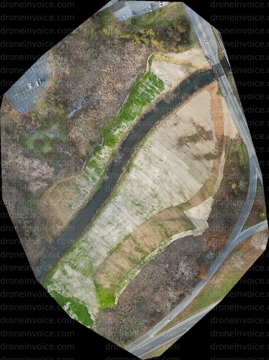
Map
No location data.

egaskinproductions LLC
Last active 141 days ago
Video Production Professional
Drone Photography, Videography and Mapping
FPV Drone Video
Photogrammetry Processing
Mini 3 Pro- GoFilm 25- CineLog25 w/t Insta360 GO3s
License / Certification
FAA Part 107 #4817717
46 total views last week
Request a quote
View Pilot Portfolio