Drone Media in Arizona, United States Available to Purchase – Mesa, Arizona (AZ), United States (US)
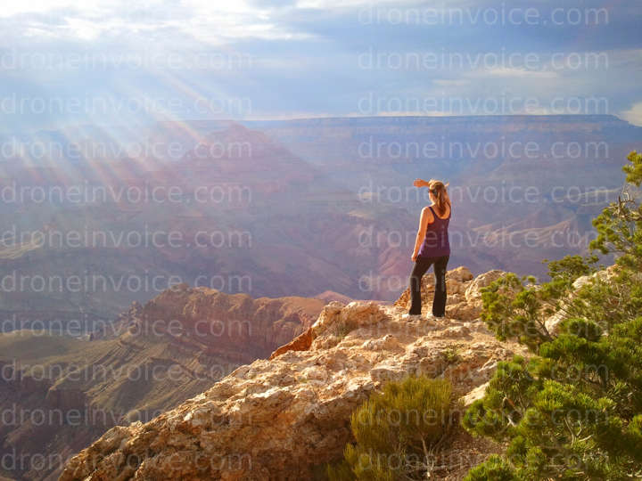
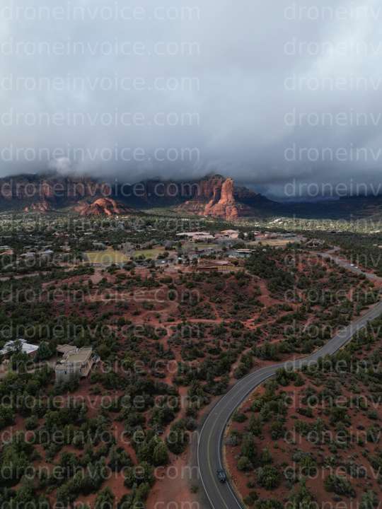
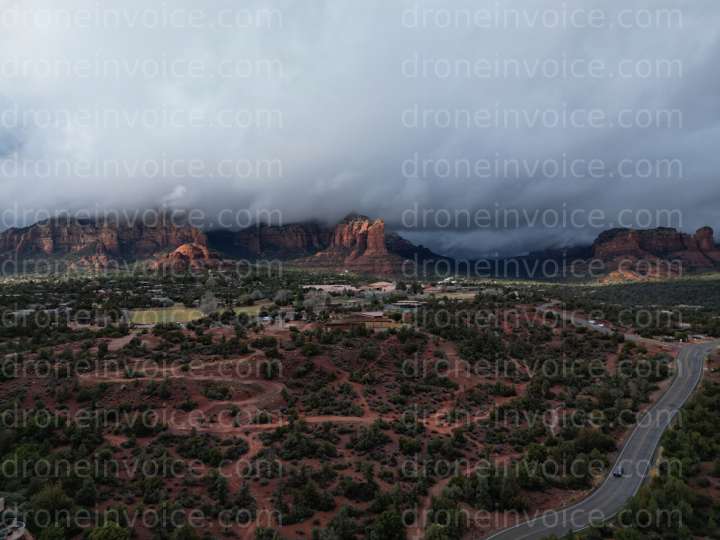
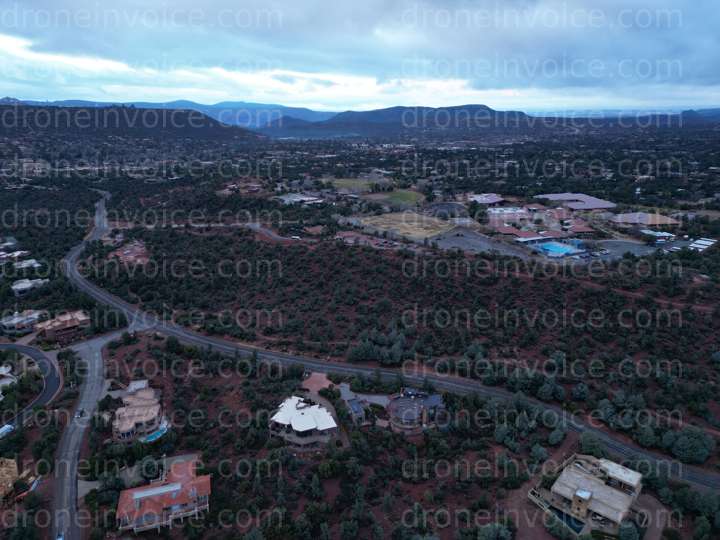
Drone Media in Arizona, United States Available to Purchase Arizona is known for its stunning landscapes, including the Grand Canyon, red rock…
Media
Showing 30 of 65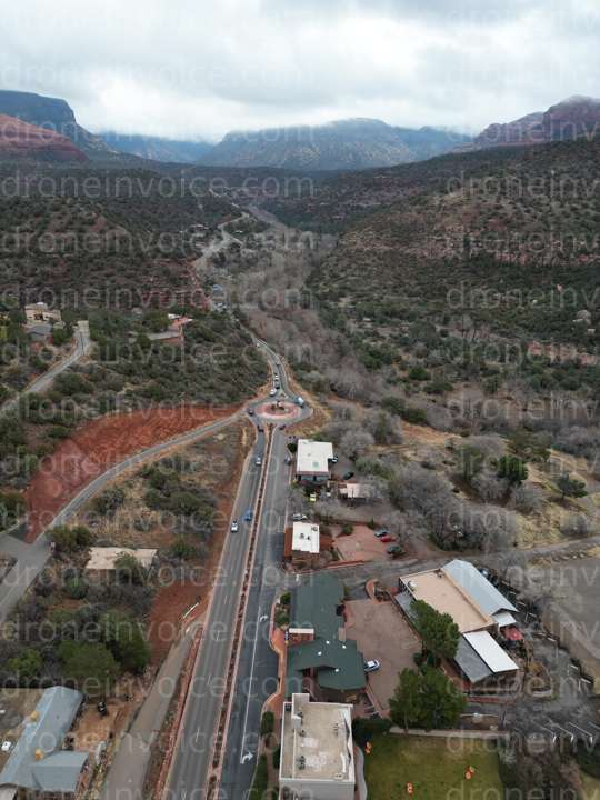
2022-12-29
2025-08-09
2022-12-28
2022-12-29
2022-12-28
2025-12-26
2022-12-28
2026-01-02
2012-07-26
2022-12-28
2022-12-28
2022-12-29
2025-10-22
2022-12-28
2025-12-26
2022-12-29
2025-10-26
2025-08-10

2025-12-26
2025-08-09
2025-12-16
2025-11-04
2025-11-04
2026-02-15
2025-11-03
2025-12-16
2025-11-04
2026-02-15
2025-11-04
2026-06-10
Drone Media in Arizona, United States Available to Purchase
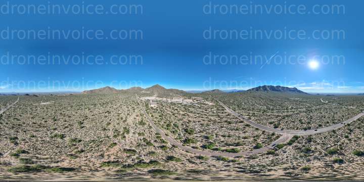
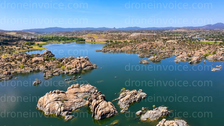
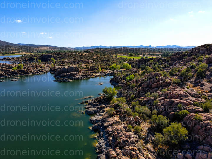
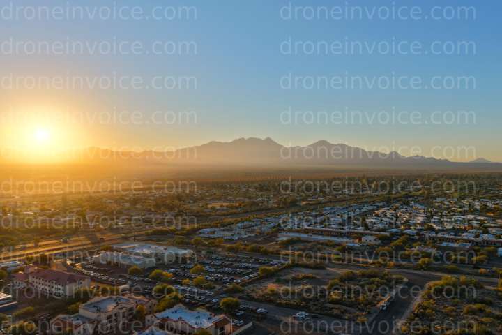
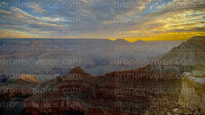
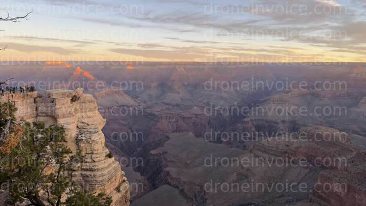
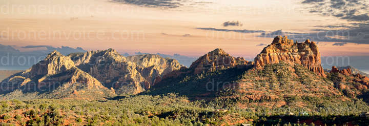
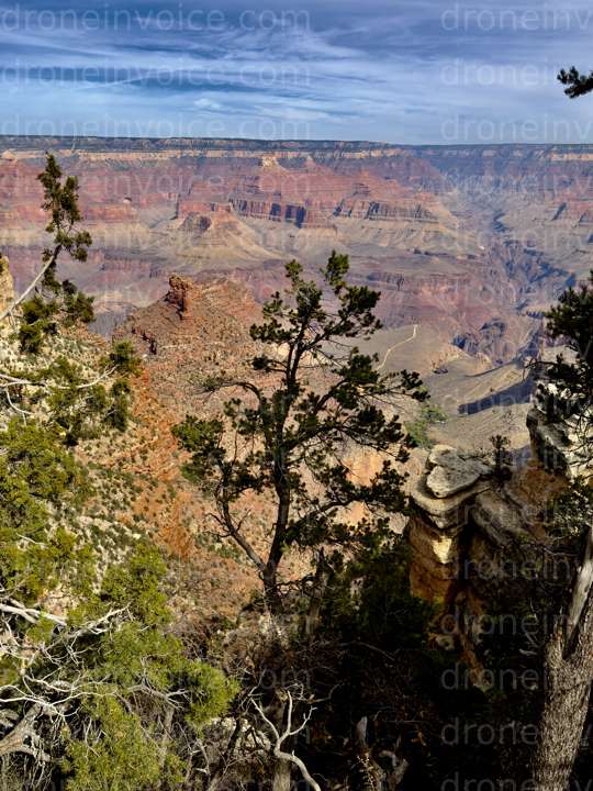
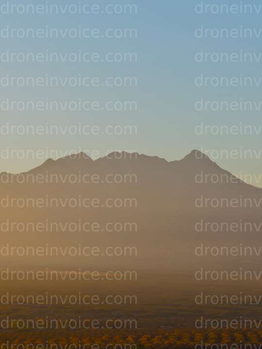
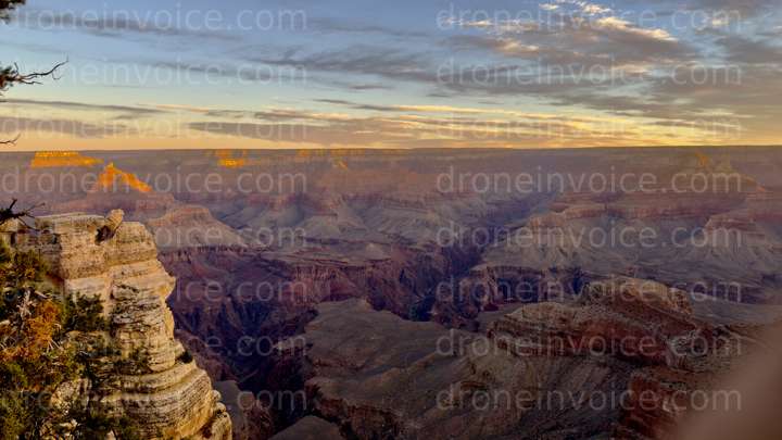
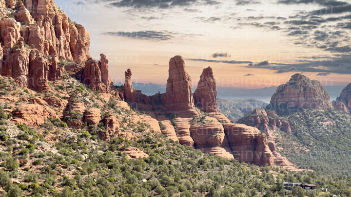
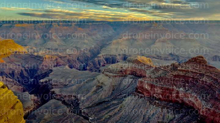
Arizona is known for its stunning landscapes, including the Grand Canyon, red rock formations, and vast deserts. The state offers diverse environments ranging from urban areas in Phoenix to serene wilderness in the North. This page features various drone media content available for purchase, including high-quality photos, videos, maps, 3D models, and point clouds. Whether you are looking to enhance your project with stunning visuals or need precise data for planning and analysis, you will find valuable resources here.
Types of Media Available
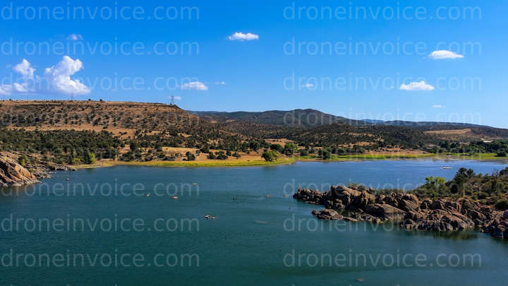
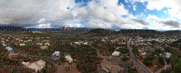
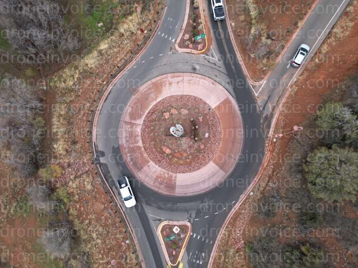
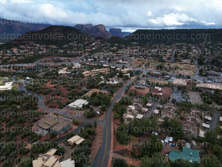
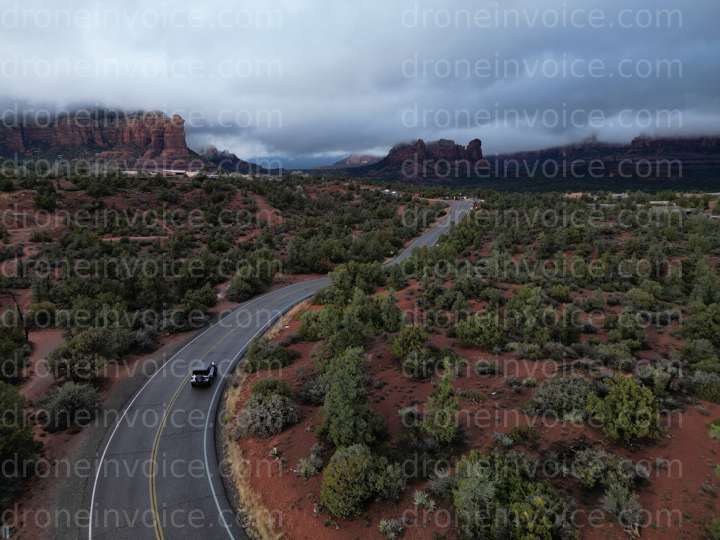
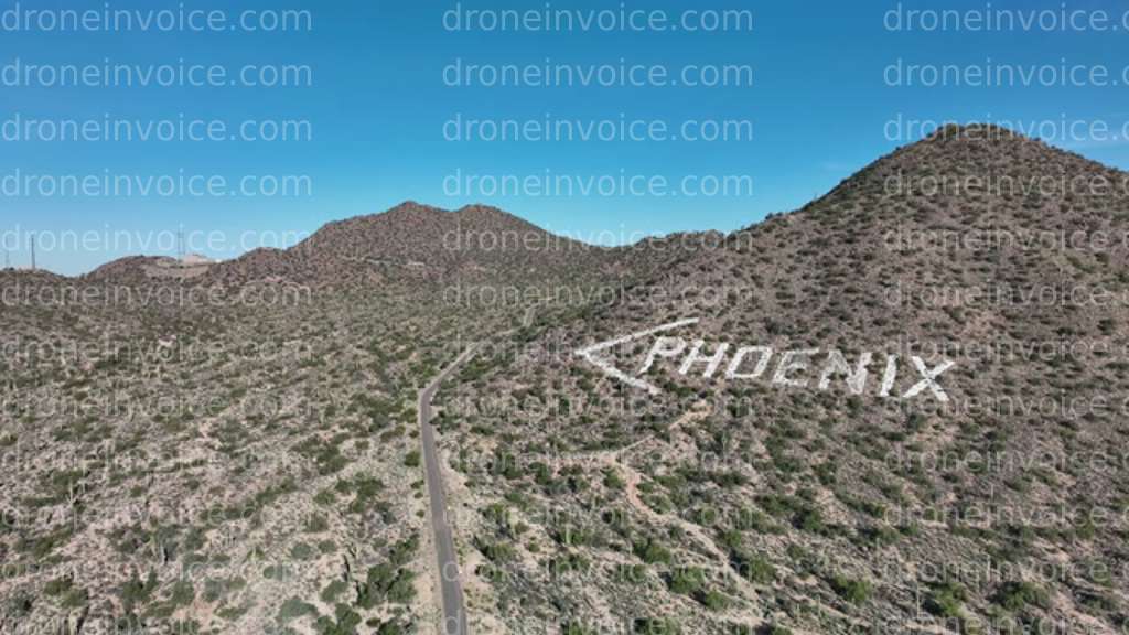
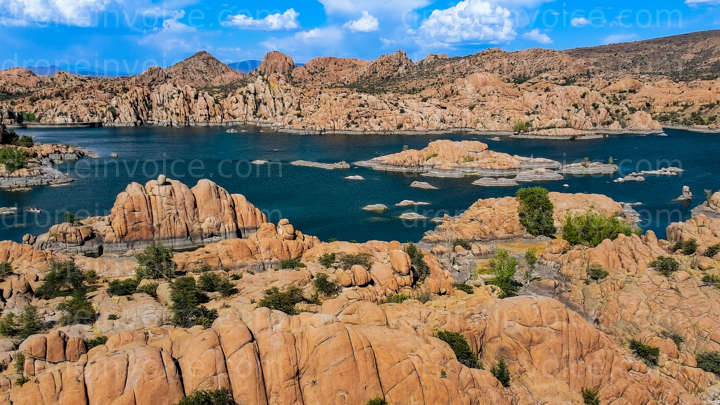
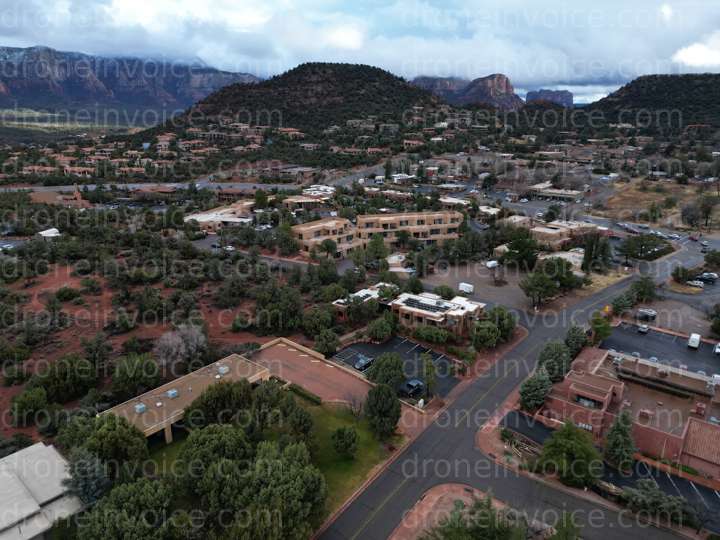
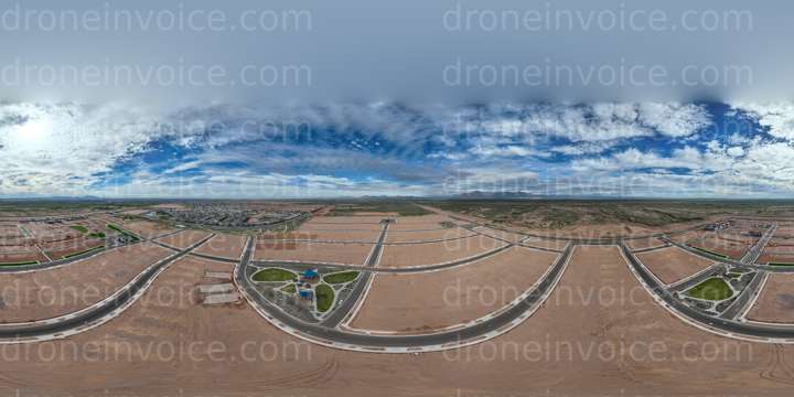
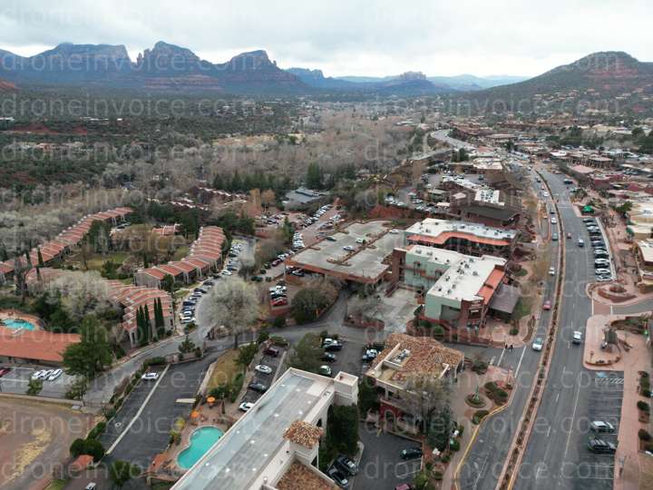
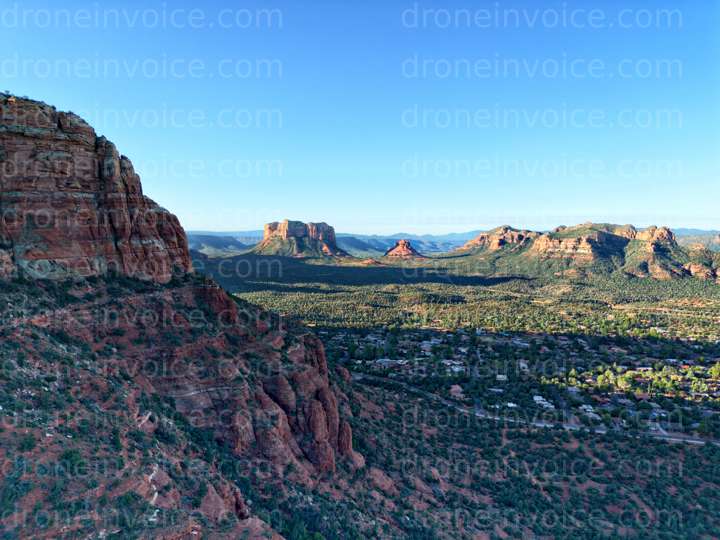
- Drone Photos: Capture breathtaking aerial views of Arizona's iconic landmarks, such as Sedona's red rocks and the sprawling Sonoran Desert. The drone photos available for purchase showcase the state's natural beauty from unique perspectives.
- Drone Videos: Explore Arizona through dynamic drone videos. These clips highlight the state's diverse scenery, from urban skylines to tranquil nature spots. Perfect for tourism promotion or real estate showcases.
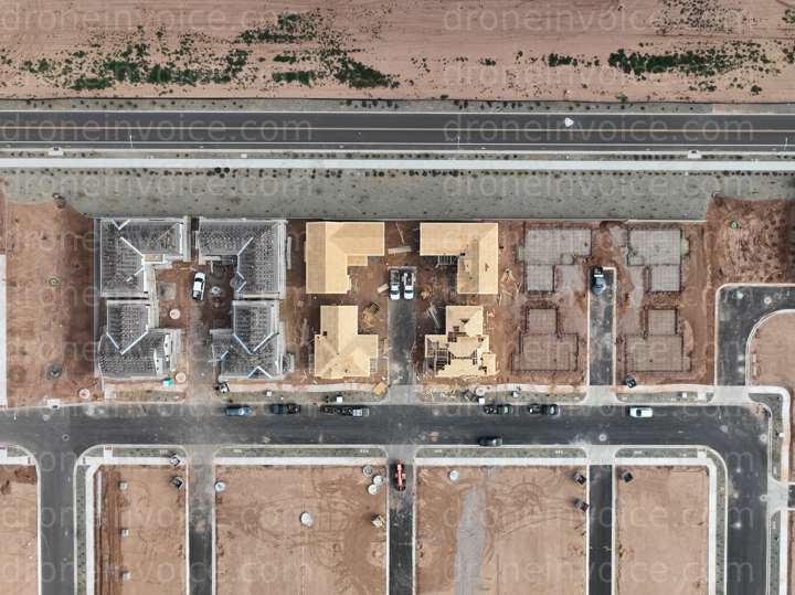
- Maps: Detailed drone maps provide topographical information and spatial analysis. Ideal for land surveys, property assessments, or environmental studies, these maps are created using advanced drone technology.
- 3D Models: Bring your projects to life with 3D models of various locations in Arizona. These models can be used for urban planning, architectural visualization, and more, offering a comprehensive view of the terrain and structures.
- Point Clouds: Point clouds generated by drones present a detailed representation of physical spaces. They are essential for construction projects, land development, and topographical analysis, offering precise measurements and data.
Benefits of Purchasing Drone Media
Investing in drone media can significantly enhance your projects. Here are some benefits:
- High Quality: The media is captured using state-of-the-art drone technology, ensuring high-resolution images and videos.
- Unique Perspectives: Aerial views provide a fresh angle that ground photography cannot replicate, making your content stand out.
- Time-Saving: Using pre-captured media can save you time compared to organizing a shoot, allowing you to focus on other aspects of your project.
- Licensing Flexibility: Various licensing options are available to suit commercial and personal uses, providing you with the rights you need.
How to Purchase Drone Media
Purchasing drone media is simple:
- Browse the available media content listed on this page.
- Select the items you wish to buy and check their licensing agreements.
- Add the media to your cart and proceed to checkout.
- Receive your files via email or download them from your account.
If you are interested in hiring drone pilots, you can also find skilled drone pilots for hire in Arizona who are certified and experienced in various types of aerial photography and videography. They can assist with tailored projects, ensuring you get the content you need.
FAQ
What types of licenses are available for drone media?
Licenses vary based on usage, including personal, commercial, and exclusive rights. Ensure you review the licensing information for each media item before purchasing.
Can I use drone media for commercial purposes?
Yes, many drone media items are available for commercial use. Make sure to select the appropriate license that covers your intended use.
How are 3D models created from drone data?
3D models are created using photogrammetry techniques that process aerial images into three-dimensional representations, capturing accurate details of the terrain and structures.
What is a point cloud, and how is it used?
A point cloud is a collection of data points in space, generated by 3D scanning technologies. Point clouds are used in various fields such as construction, surveying, and environmental analysis for precise measurements and modeling.
How do I contact a drone pilot for hire in Arizona?
You can find listings of certified drone pilots for hire on our marketplace, along with their portfolios and contact information to discuss your project needs.