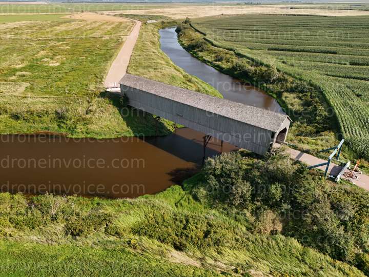
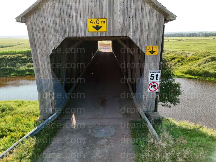
Historic Wheaton Covered Bridge — Sackville, New Brunswick (nb), Canada (ca)
- Known locally as Wheaton Covered Bridge is located along High Marsh Road, in Sackville, New Brunswick. - Built, in 1916, it is about 50 m long, and named…

Map
No location data.
Top 5%
ca/nb

Geomatics
Last active 58 days ago
Certified Geomatics Specialist and Licensed RPAS Pilot providing high resolution aerial mapping services all across New Brunswick, Nova Scotia, and Prince Edward Island.
https://www.Geomatics.one
License / Certification
PC2211203595
348 total views last week
Request a quote
View Pilot Portfolio
Nearby Content (6)
Video

Historic Wheaton Covered Bridge
3840x2160 @ 30 fps
2026-01-03
2026-01-03
CA$35.00
CAD
Photo

Historic Wheaton Covered Bridge
8064x6048 (49MP)
2024-08-25
2024-08-25
CA$25.00
CAD
Photo
Historic Wheaton Covered Bridge
8064x6048 (49MP)
2024-08-25
2024-08-25
CA$25.00
CAD
Photo
Historic Wheaton Covered Bridge Aster Group
8064x6048 (49MP)
2024-08-25
2024-08-25
CA$25.00
CAD
Photo

Tantramar Civic Centre
8064x6048 (49MP)
2024-09-21
2024-09-21
CA$25.00
CAD
Photo

Tantramar Civic Centre
8064x6048 (49MP)
2024-09-21
2024-09-21
CA$25.00
CAD