Drone media
Drone Map captured on April 9, 2026. 14062×14299 px @ 1.99 cm/px Available to license for ¤20.00 on DroneInvoice.
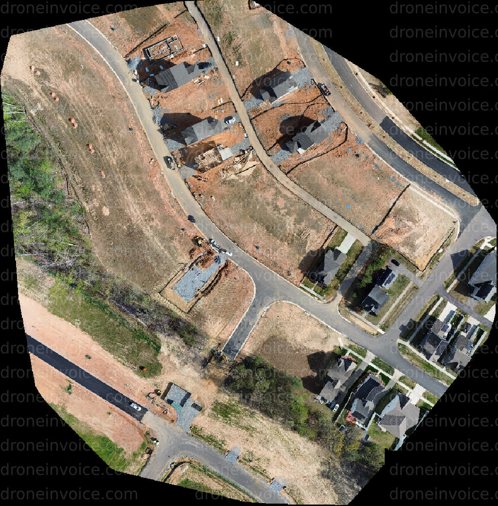
Map
No location data.
Tom Ferguson
Active in the last day
Certified Part 107 Drone pilot for five years. Enjoy taking aerial photos and videos. Use photo and video editing tools to enhance photos. Make basic overhead maps of areas (buildings, construction sites and different streets)
License / Certification
FAA part 107 Certificate #4436521
95 total views last week
Request a quote
View Pilot Portfolio