Drone media
Drone Map captured on January 7, 2026. 22173×23570 px @ 2.34 cm/px
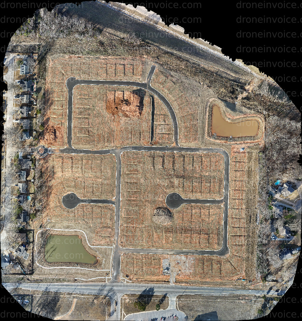
Map
No location data.

Sky Side Photo
Last active 10 days ago
Over ten years of aerial photography experience, capturing professional quality photos, video, photogrammetry, roof inspections, real estate listings, billboards, construction progress and marketing.
License / Certification
FAA Part 107 #4372737
56 total views last week
Request a quote
View Pilot Portfolio