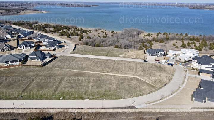
Clear Lot ST Paul aerial 2 — Saint Paul, Texas (tx), United States (us)
Drone Photo captured on February 20, 2025 in Clear Lot ST Paul aerial 2, Saint Paul, Texas (tx), United States (us). 4000x2250 (9MP)
Click to open viewer
Details
File name
dji_fly_20250220_151632_113_1740086401440_photo.jpg
Map
No location data.

Tahoe
Last active 95 days ago
Aerial photo/video, mapping, inspections, real estate & construction progress shots.
License / Certification
FAA Part 107- 5086008
32 total views last week
Request a quote
View Pilot Portfolio
Nearby Content (1)
Photo
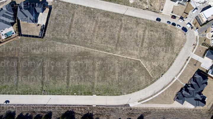
Clear Lot Marking-St Paul
4000x2250 (9MP)
2025-02-20
2025-02-20
$20.00
USD