Orthomosaic Topo Map — Bridgeport, Texas (tx), United States (us)
Topomap of quarry
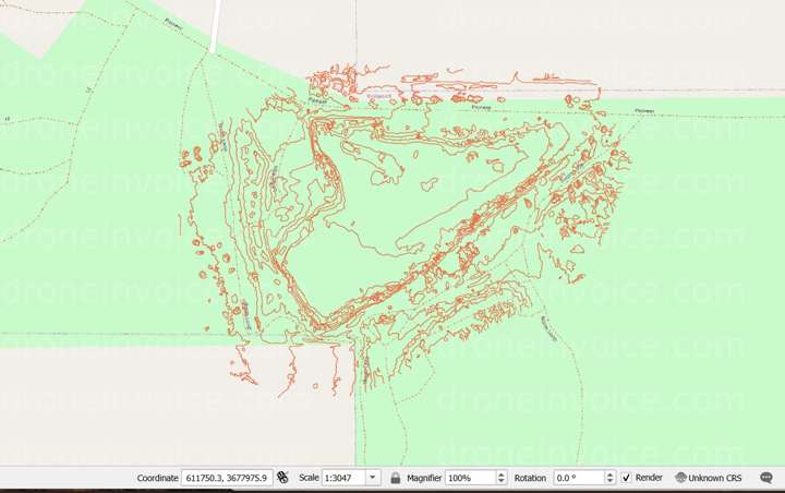
Map
No location data.
Top 5%
us/tx/bedford

Blackland Aerial Imaging
Last active 154 days ago
Blackland Aerial Imaging (BAI) delivers drone and ground photo/video plus RTK photogrammetry, orthomosaics, and aerial surveys. Equipped with a GNSS base station for centimeter-level accuracy for real estate, construction, and utilities.
License / Certification
FAA Part 107 #5245256
116 total views last week
Request a quote
View Pilot Portfolio