Drone Maps of Oklahoma Available to Purchase – Pryor, Oklahoma (OK), US (US)
Drone Maps of Oklahoma Available to Purchase Oklahoma is known for its diverse landscapes, from the rolling hills of the Osage Plains to the rich…
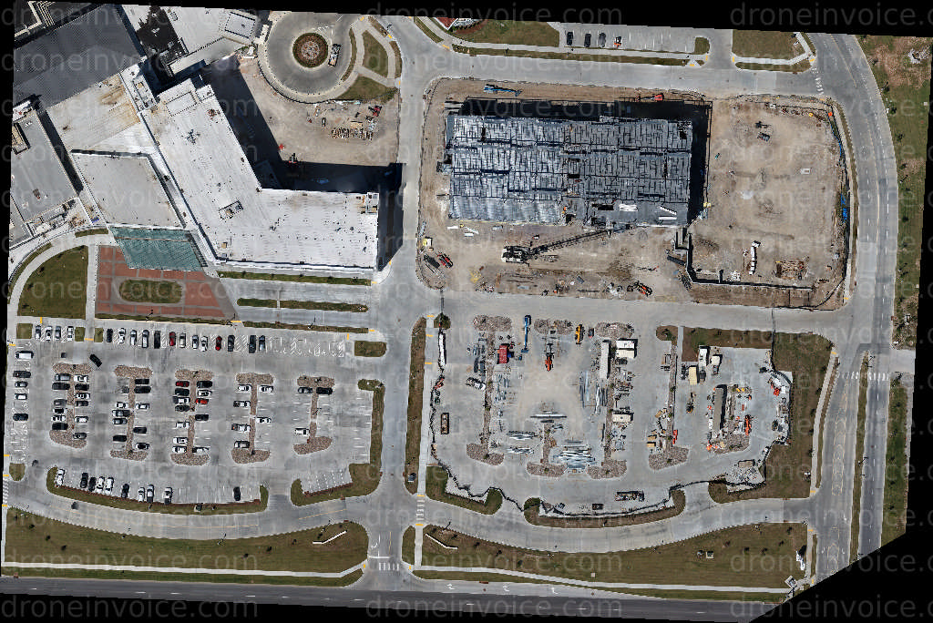
Media
Showing 8 of 8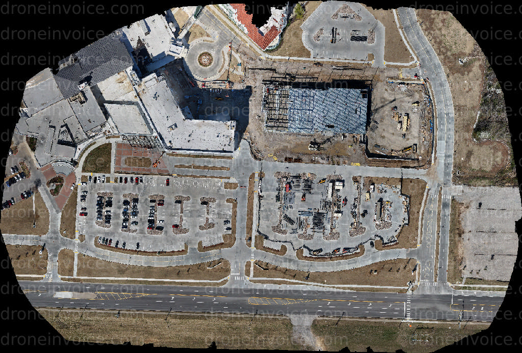
2026-03-13
2025-12-05
2026-01-07
2026-05-19
2026-04-30
2026-03-13
2026-03-13
2026-05-19
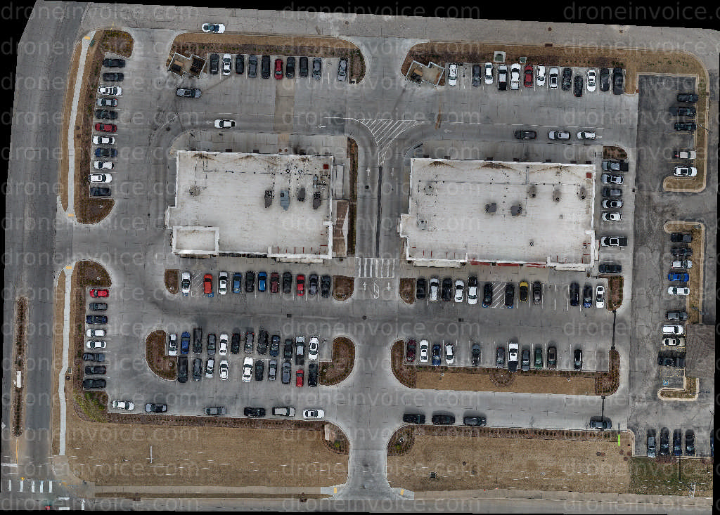
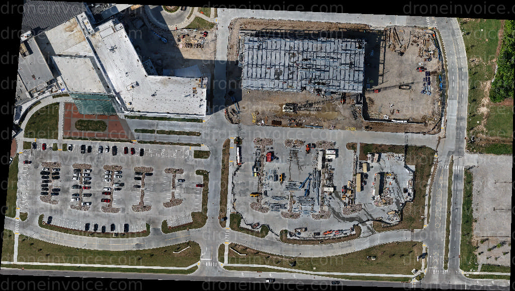
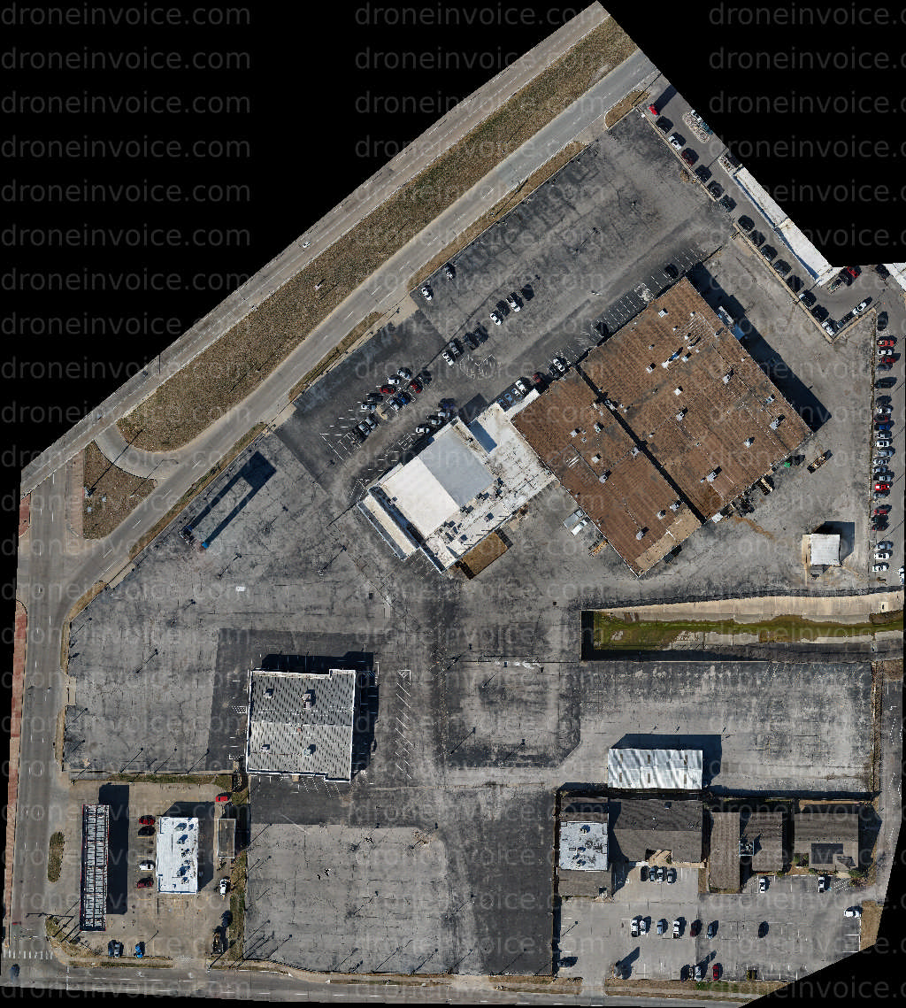
Drone Maps of Oklahoma Available to Purchase
Oklahoma is known for its diverse landscapes, from the rolling hills of the Osage Plains to the rich wetlands of the southeastern region. This state offers a unique blend of natural beauty and urban environments. Whether you’re looking to explore the vibrant cityscapes of Oklahoma City or the serene beauty of the Wichita Mountains, drone maps can provide a comprehensive view of this varied terrain.
This page features high-quality drone maps of Oklahoma, showcasing various locations and landmarks throughout the state. Our maps are ideal for professionals in industries such as real estate, agriculture, environmental studies, and tourism. By purchasing a map, you gain access to detailed aerial imagery that can enhance your projects and provide valuable insights.
Types of Drone Maps Available
- Aerial Topographic Maps: These maps highlight the elevation changes and contours of the land, making them useful for construction planning and environmental assessments.
- Orthomosaic Maps: These are highly detailed, geometrically corrected images that provide an accurate representation of the terrain. They are beneficial for land use analysis and urban planning.
- 3D Terrain Models: These maps provide a three-dimensional view of the landscape, which is useful for visualizing topography in a more interactive format.
- Land Use Maps: Ideal for zoning and planning, these maps show different types of land usage across Oklahoma, helping with development and conservation efforts.
When selecting a drone map, consider the specific needs of your project. High-resolution maps can reveal details that standard maps may miss, providing a clearer understanding of the landscape. Our collection includes maps from various regions in Oklahoma, so you can find exactly what you need for your task.
Benefits of Using Drone Maps
Drone maps offer several advantages over traditional mapping methods:
- Accuracy: Drone mapping technology provides precise measurements and high-resolution imagery that can be critical for many applications.
- Efficiency: Aerial mapping can cover large areas in a fraction of the time it would take to survey on foot.
- Accessibility: Hard-to-reach areas can be easily mapped with drones, providing data that might otherwise be inaccessible.
In addition to the benefits listed, drone maps are also environmentally friendly, reducing the need for extensive ground surveys that can disrupt natural habitats.
How to Purchase Drone Maps
Purchasing drone maps from our marketplace is straightforward. Simply browse through our collection, select the map(s) you need, and follow the checkout process. Each map comes with a license agreement that outlines its intended use. Ensure you understand the terms to maximize the value you get from your purchase.
FAQ
What types of licenses are available for drone maps?
We offer various licensing options depending on your needs, including commercial and non-commercial use licenses. Be sure to review the licensing agreements to find the best fit for your project.
Can I use drone maps for commercial projects?
Yes, our drone maps are suitable for commercial use, but you must select the appropriate license that allows for such applications. This includes uses in real estate marketing, environmental consulting, and more.
Are the maps regularly updated?
The frequency of updates depends on the specific map and location. Some areas may have more regular updates due to ongoing developments or changes in the landscape. Check the details on each map page for the most accurate information.
What if I need a custom map for a specific location?
If you require a custom drone map, please contact us with your specifications. We can connect you with experienced drone pilots for hire who can create tailored mappings based on your requirements.