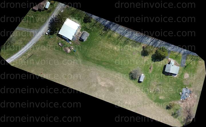
Glenmont — Albany County, New York (ny), United States (us)
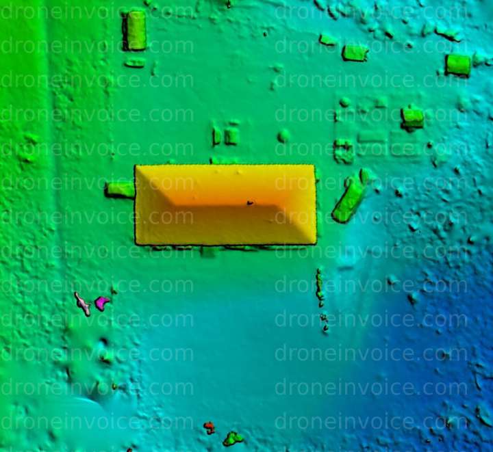
Colorized DEM Elevation of Homestead
Click to open viewer
Details
File name
259Mappingtest32720260327-COLOR(Colorized-DEM-(JPG)).jpg
Map
No location data.
Founding Pilot
Top 5%
us/ny

JS Aerial - Capital Region Drone Services
Last active 50 days ago
Aerial Video and Photography, Visual Inspections and Photogrammetry/Orthomosaic Mapping.
License / Certification
FAA Part 107
110 total views last week
Request a quote
View Pilot Portfolio
Nearby Content (3)
Photo
65 O Neil Rd
12886x15227 (196MP)
2026-04-23
2026-04-23
$20.00
USD
Photo
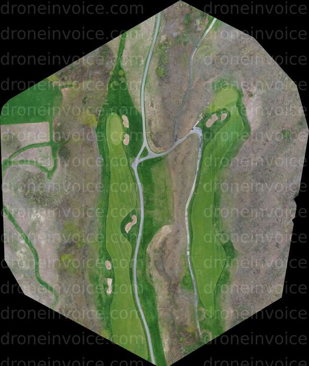
Bluestone Farm
10757x6670 (72MP)
2026-04-23
2026-04-23
$20.00
USD
Photo

127 Payne Rd
10757x6670 (72MP)
2026-04-10
2026-04-10
$20.00
USD