Drone Maps of New Jersey Available to Purchase – Egg Harbor Township, New Jersey, United States
Drone Maps of New Jersey Available to Purchase New Jersey, known for its diverse landscapes, bustling cities, and rich history, offers a unique blend of…
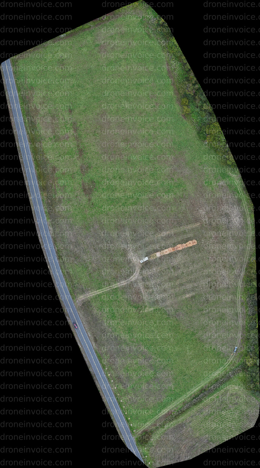
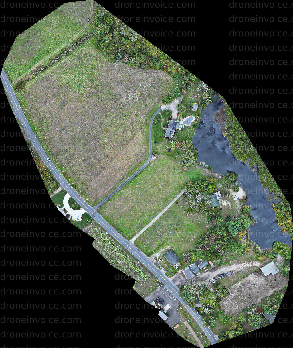
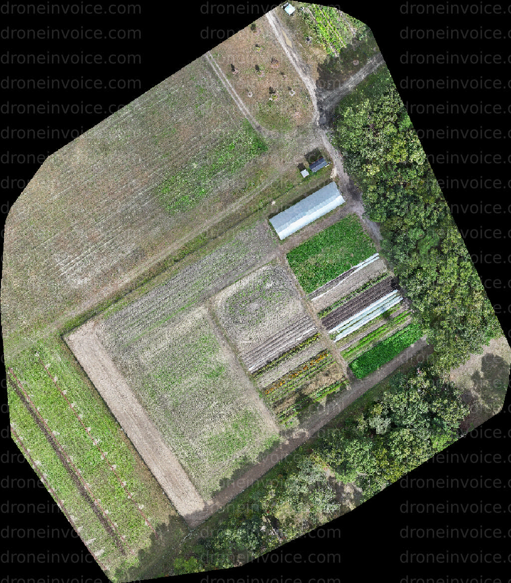
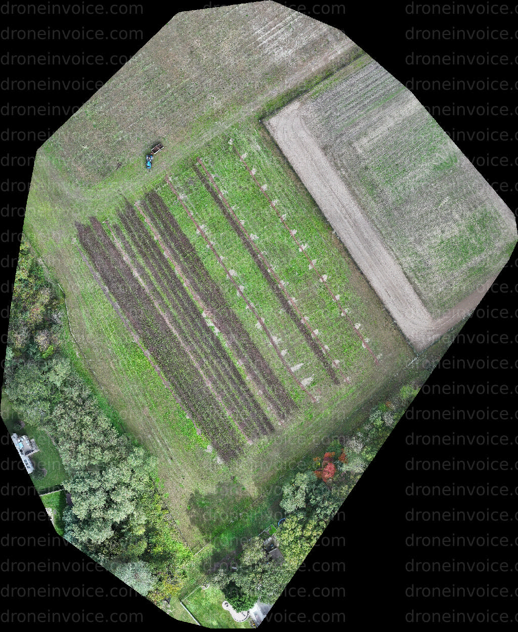
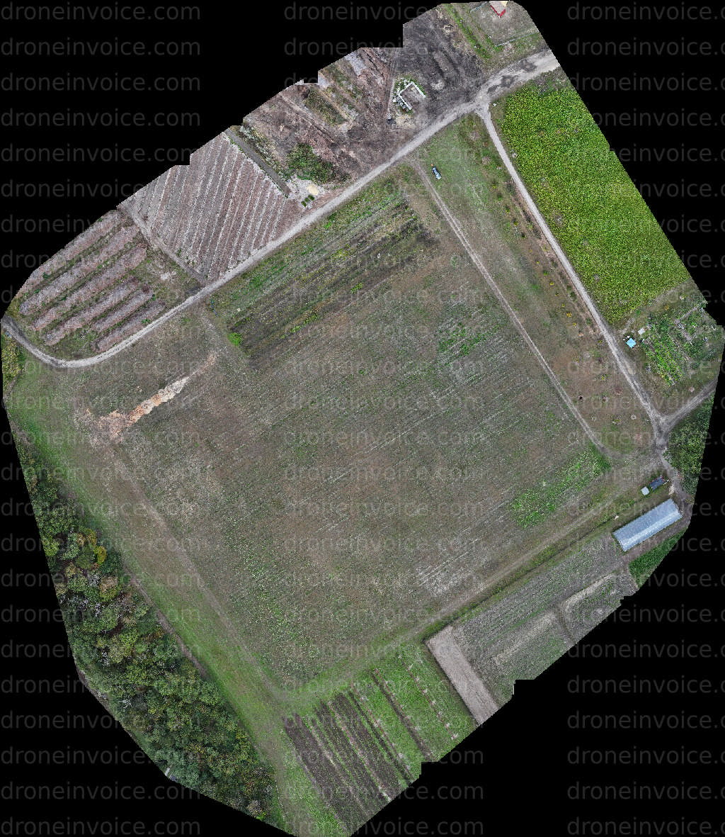
Media
Showing 10 of 10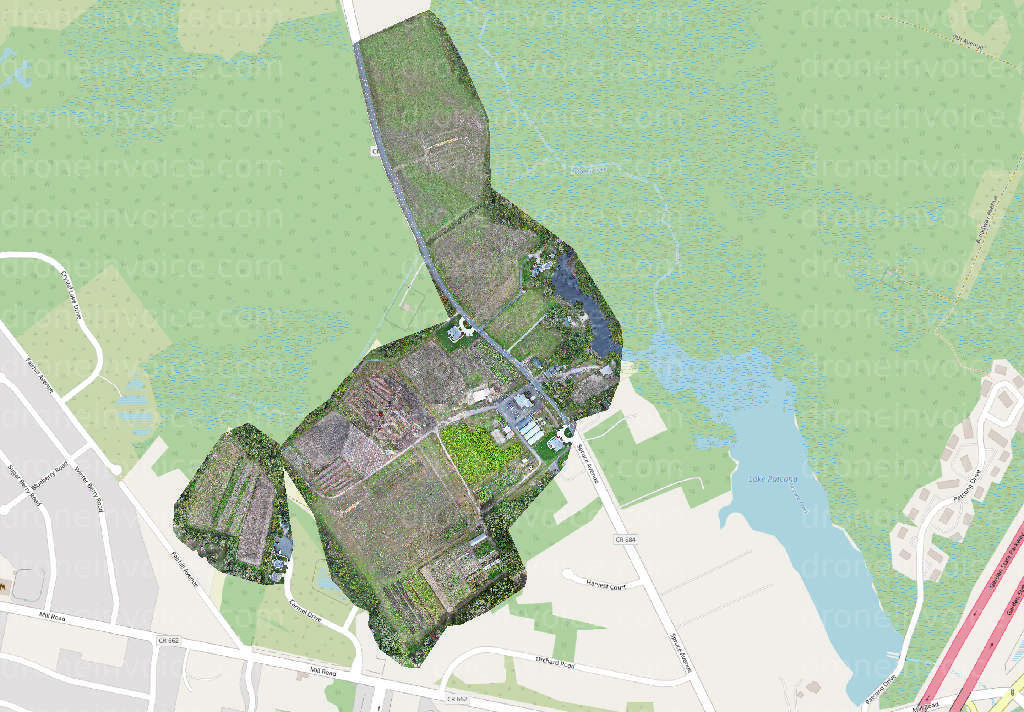
2025-12-01
2025-12-01
2025-12-01
2025-12-01
2025-12-01
2025-12-01
2025-12-01
2025-12-01
2025-12-01

2025-12-01
Drone Maps of New Jersey Available to Purchase
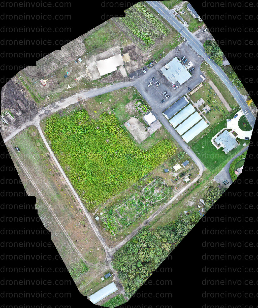
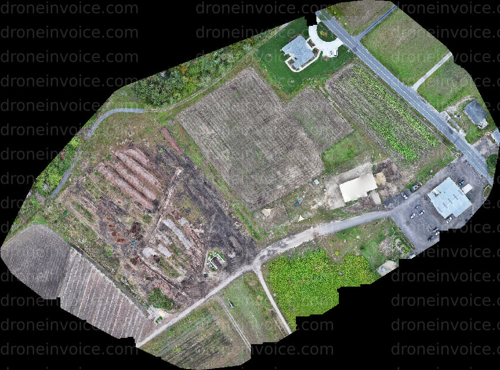
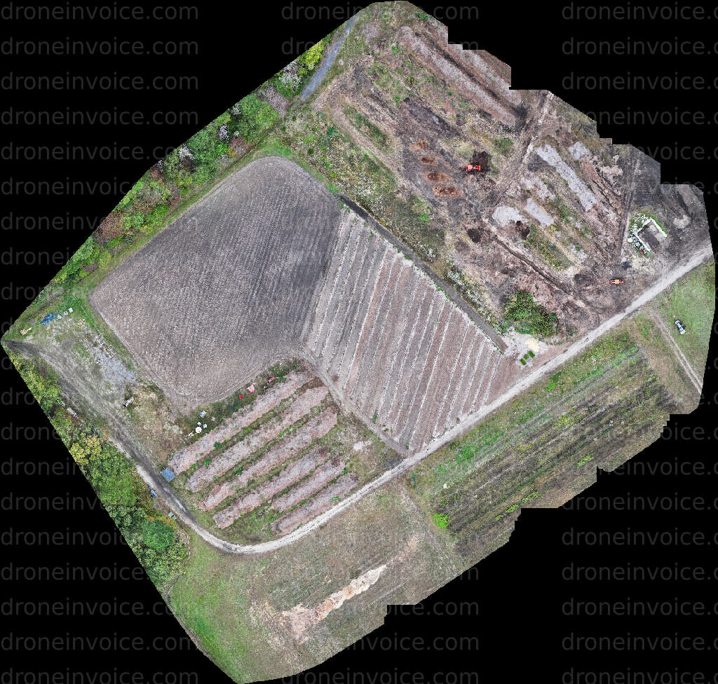
New Jersey, known for its diverse landscapes, bustling cities, and rich history, offers a unique blend of urban and natural environments. From the sandy shores of the Jersey Shore to the lush greenery of the Pine Barrens, New Jersey has a lot to showcase. This page features high-quality drone maps that capture the intricate details of this vibrant state. Whether you are looking for detailed topographical maps or aerial views of specific locations, you can find valuable content here.
Drone maps provide an aerial perspective that traditional maps cannot match. They offer detailed visualizations that are useful for a variety of applications, including urban planning, environmental studies, real estate, and more. Our collection includes a range of maps that highlight various regions and features of New Jersey, ensuring that you find the right content for your needs.
Types of Drone Maps Available
- Topographical Maps: These maps highlight the elevation and terrain of New Jersey's diverse landscapes.
- Urban Aerial Maps: Capture the architectural beauty and layout of cities like Newark, Jersey City, and Hoboken.
- Environmental Maps: Focus on natural areas, including parks, forests, and bodies of water.
- Real Estate Maps: Provide valuable insights for property developers and realtors looking to assess land and properties.
- Custom Maps: Tailored maps created to meet specific client needs, including particular areas or features of interest.
Purchasing drone maps can be beneficial for various industries. Real estate professionals can use them to present properties more attractively. Urban planners can analyze land use and development opportunities. Environmental scientists can monitor changes in ecosystems. No matter your need, these maps provide a clear and comprehensive view that can enhance your projects and presentations.
How to Purchase Drone Maps
When you're ready to purchase drone maps from our marketplace, follow these simple steps:
- Browse the Collection: Start by exploring our selection of maps. Use filters to search by location or type of content.
- Select Your Map: Click on any map that interests you for more details, including resolution and licensing options.
- Choose a License: Depending on your intended use, select the appropriate licensing option. Options may vary based on commercial or personal use.
- Add to Cart: Once you've made your selection, add it to your cart and proceed to checkout.
- Download Your Map: After payment is confirmed, you will receive a link to download your purchased map.
We ensure that all maps are created using the latest drone technology, providing you with high-resolution imagery that meets professional standards. Each map is also accompanied by clear licensing information to help you understand your rights regarding usage.
Why Choose Our Drone Maps?
Our drone maps are created by skilled drone pilots who understand the technical requirements of aerial photography and mapping. We ensure that the content is not only visually appealing but also accurate and useful for various applications. The combination of advanced mapping techniques and local knowledge ensures you receive the best possible product for your needs.
FAQ
What types of licenses are available for drone maps?
We offer various licensing options, including personal, educational, and commercial licenses. The license type you choose will depend on how you plan to use the map.
Can I request a custom map for a specific location?
Yes, we provide custom mapping services. If you have a specific area or feature in mind, please contact us with your requirements, and we will work to create a tailored map for you.
How are the drone maps created?
Our maps are created using high-resolution drone photography combined with advanced mapping software. This ensures accuracy and detail in the final product.
What is the turnaround time for custom map orders?
Turnaround times vary based on the complexity of the request. Typically, you can expect a draft within a few days, but we will provide an estimated timeline when you place your order.
Is there customer support available if I have questions?
Absolutely! Our customer support team is always ready to assist you with any inquiries or issues you may have regarding your purchase or our services.