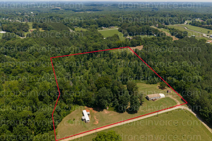
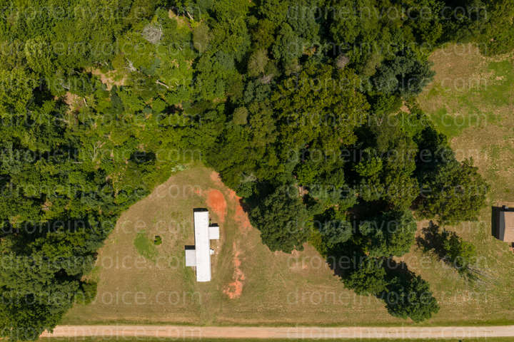
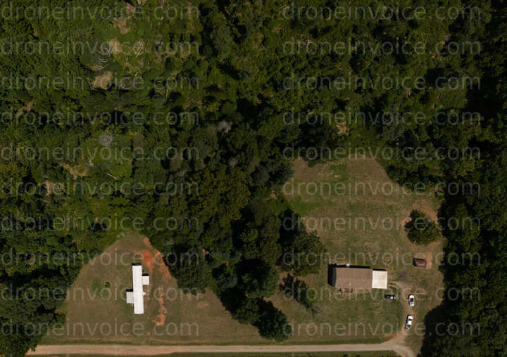
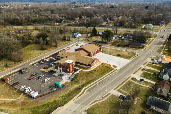
153 Wild Cherry Dr — Statesville, North Carolina (nc), United States (us)
Drone Photo captured on June 11, 2026 in 153 Wild Cherry Dr, Statesville, North Carolina (nc), United States (us). 12288x8192 (101MP)
Map
No location data.
Founding Pilot
Top 5%
us

True North Aerial Imaging
Active in the last week
True North Aerial Imaging delivers more than drone footage — we craft visual stories that showcase properties, communities, and events with clarity and impact. By blending technical precision with creative storytelling.
License / Certification
FAA Part 107 #5198389
1696 total views last week
Request a quote
View Pilot Portfolio
Nearby Content (12)
Photo
153 Wild Cherry Dr
12288x8192 (101MP)
2026-06-11
2026-06-11
$20.00
USD
Photo
153 Wild Cherry Dr
17423x12298 (214MP)
2026-06-11
2026-06-11
$20.00
USD
Photo
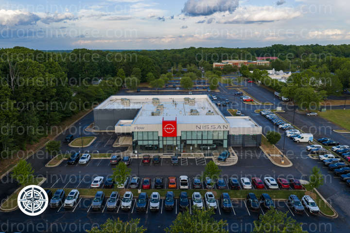
Flow Nissan of Parts Village Inn Pizza Cinema Drive
2048x1365 (3MP)
2026-04-29
2026-04-29
$200.00
USD
Photo
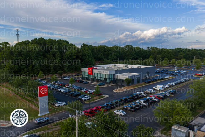
Village Inn Pizza Cinema Drive Flow Nissan of Parts
2048x1365 (3MP)
2026-04-29
2026-04-29
$200.00
USD
Photo
FedEx Drop Box McGriff
12288x8192 (101MP)
2026-05-18
2026-05-18
$100.00
USD
Photo
WAME Radio Downtown Station Concealed Carry Handgun Class CCH
2048x1365 (3MP)
2026-04-03
2026-04-03
$100.00
USD
Photo
Partnership FOR Drug Free Wholistic Village Aziza s Center Intuitive Healing
2048x1365 (3MP)
2026-05-18
2026-05-18
$100.00
USD
Photo
Compleat KiDZ ABA Pediatric Therapy Merrill Lynch Financial Advisor Scarlett Chapman
12288x8192 (101MP)
2026-03-01
2026-03-01
$35.00
USD
Photo
First Flight Bicycles 220 Cafe
2048x1365 (3MP)
2026-04-03
2026-04-03
$100.00
USD
Photo
Plaza Apartments Downtown parking
12288x8192 (101MP)
2026-03-01
2026-03-01
$35.00
USD
Photo
Life Span Program Tony Elliott Inc
12288x8192 (101MP)
2026-03-01
2026-03-01
$35.00
USD
Photo
Interfaith Deliverance Center Food Distribution Fire Station 1
12288x8192 (101MP)
2026-03-01
2026-03-01
$35.00
USD