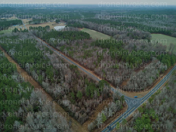
Bunnlevel, North Carolina (nc), United States (us)
Drone Photo captured on February 21, 2026 in Bunnlevel, North Carolina (nc), United States (us). 4000x3000 (12MP) Available to license for ¤9.46 on…
Map
No location data.

Scout and Aerial LLC
Last active 108 days ago
Drone Photo, Video & Mapping Capture and Editing
Real Estate both Residential and Land
NCREC/ANSI Z765-Friendly Floor Plans and Home Measurement Square Footage with Reports
Based in Whitsett
License / Certification
FAA Part 107 #: 5255580
95 total views last week
Request a quote
View Pilot Portfolio
Nearby Content (1)
Photo
KMS Electrical Genthe Plumbing LLC
12288x8192 (101MP)
2025-09-05
2025-09-05
$20.00
USD