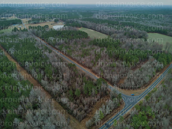
Bunnlevel, North Carolina (nc), United States (us)
Drone Photo captured on February 21, 2026 in Bunnlevel, North Carolina (nc), United States (us). 4000x3000 (12MP)
Map
No location data.

Scout and Aerial LLC
Last active 107 days ago
Drone Photo, Video & Mapping Capture and Editing
Real Estate both Residential and Land
NCREC/ANSI Z765-Friendly Floor Plans and Home Measurement Square Footage with Reports
Based in Whitsett
License / Certification
FAA Part 107 #: 5255580
95 total views last week
Request a quote
View Pilot Portfolio
Nearby Content (1)
Photo
KMS Electrical Genthe Plumbing LLC
12288x8192 (101MP)
2025-09-05
2025-09-05
$20.00
USD