Maps of Wichita, Kansas Available to Purchase – Wichita, Kansas (KS), US (US)
Maps of Wichita, Kansas Available to Purchase Wichita, located in south-central Kansas, is known for its rich history, vibrant culture, and significant…
Media
Showing 3 of 3
2026-01-02
2026-01-02
2026-01-02
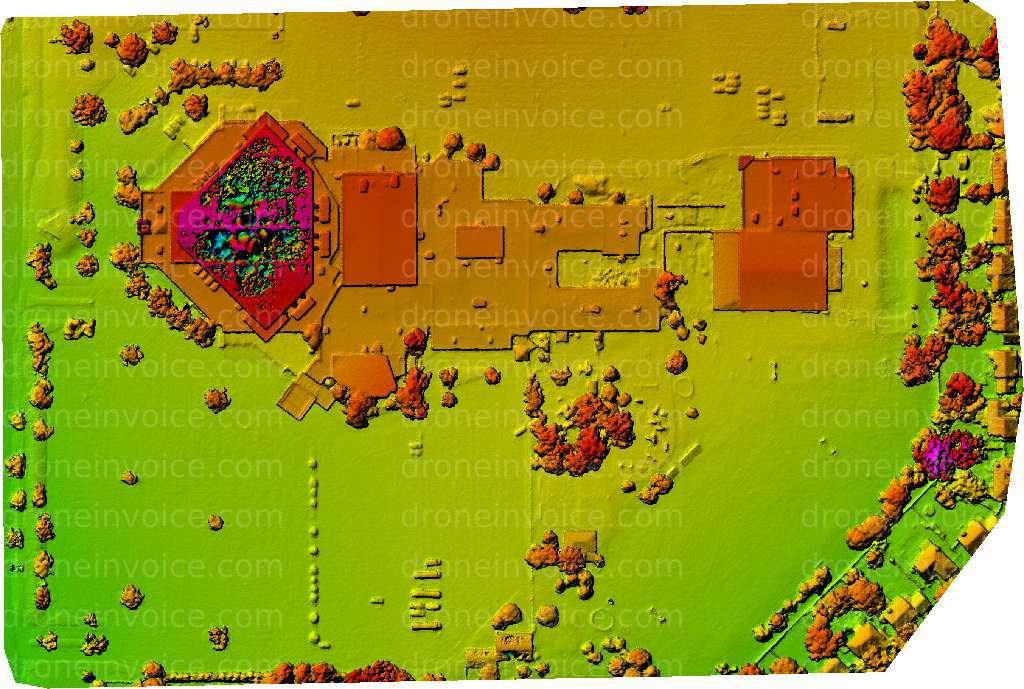
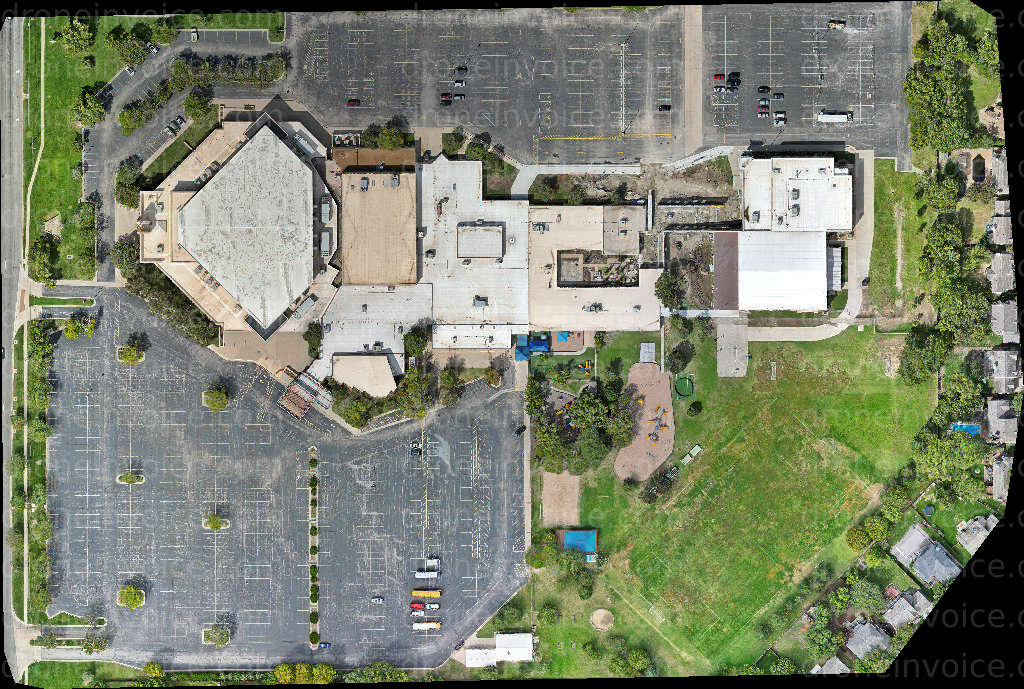
Maps of Wichita, Kansas Available to Purchase
Wichita, located in south-central Kansas, is known for its rich history, vibrant culture, and significant contributions to the aviation industry. The city offers diverse landscapes that range from sprawling parks to modern urban settings. This makes it an ideal location for high-quality drone maps that showcase its unique geographical features.
On this page, you can find a variety of detailed drone maps of Wichita. These maps capture the city's layout, highlighting key landmarks, parks, and neighborhoods. Whether you need maps for urban planning, real estate development, or educational purposes, our collection offers the clarity and detail you require.
Purchasing drone maps from our marketplace allows you to access high-resolution and accurate representations of Wichita. You can easily explore different areas, view topographical details, and analyze land use. Each map is available for licensing, ensuring you have the rights to use them for your specific needs.
If you're interested in hiring drone pilots for mapping services, look no further. Our network includes certified professionals who specialize in aerial mapping. They utilize advanced drone technology to capture precise data and create detailed maps tailored to your project requirements.
Benefits of Using Drone Maps
- High-resolution imagery for accurate analysis.
- Detailed representations of geographical features.
- Time-efficient data collection for various projects.
- Customizable mapping solutions for specific needs.
FAQ
What types of maps are available for purchase?
You can find topographical maps, urban layouts, and specialized area maps of Wichita.
How can I use the purchased maps?
The maps can be used for commercial projects, planning, research, and personal use, depending on the licensing agreement.
Can I hire a drone pilot for custom mapping services?
Yes, we offer a selection of certified drone pilots who can create custom maps based on your project specifications.