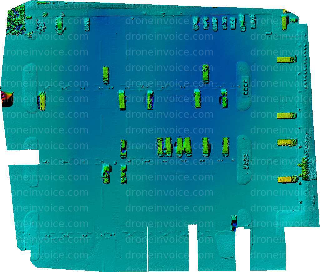
Amazon DKS3 — Lenexa, Kansas (ks), United States (us)
Drone Map captured on January 2, 2026 in Amazon DKS3, Lenexa, Kansas (ks), United States (us). 2697×2294 px @ 0 cm/px
Map
No location data.
Founding Pilot
Top 5%
us/ks

Shideler IT
Last active 142 days ago
Aerial mapping, Agriculture, Orthomosaic photos, thermal imaging, Construction timeline images
License / Certification
FAA Part 107 #5016756
369 total views last week
Request a quote
View Pilot Portfolio
Nearby Content (1)
GeoTIFF
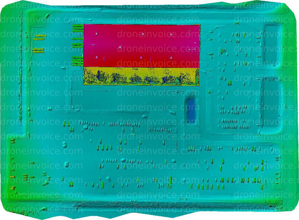
Amazon DLI3
6150×4520 px @ 0 cm/px
2026-01-02
2026-01-02
$32.88
USD