PV82 WGX — Kingman, Kansas (ks), United States (us)
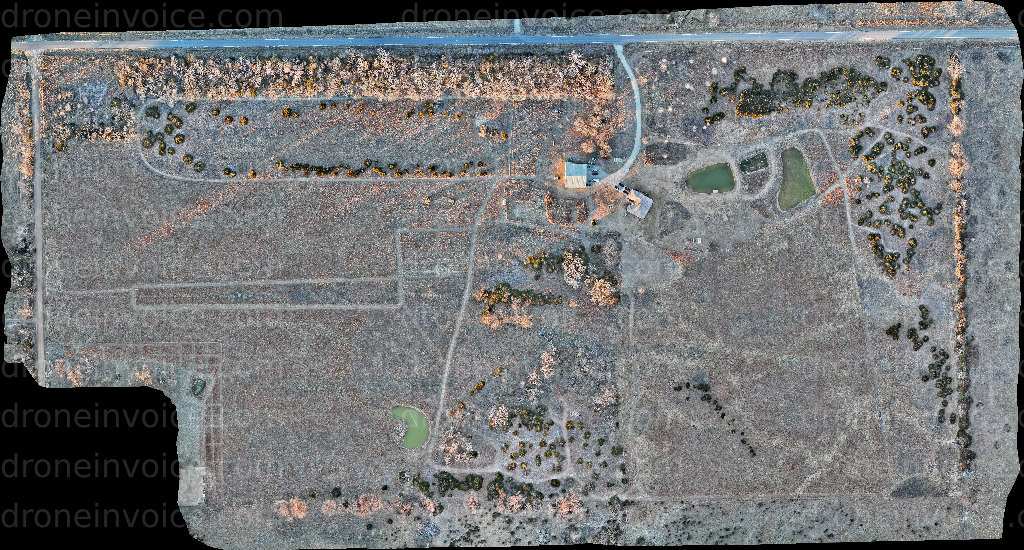
Drone Map captured on January 18, 2026 in PV82 WGX, Kingman, Kansas (ks), United States (us). 34324×18424 px @ 2.6 cm/px Available to license for ¤100.00…
Map
No location data.
Founding Pilot
Top 5%
us/ks

Shideler IT
Last active 58 days ago
Aerial mapping, Agriculture, Orthomosaic photos, thermal imaging, Construction timeline images
License / Certification
FAA Part 107 #5016756
619 total views last week
Request a quote
View Pilot Portfolio