Invoice #6
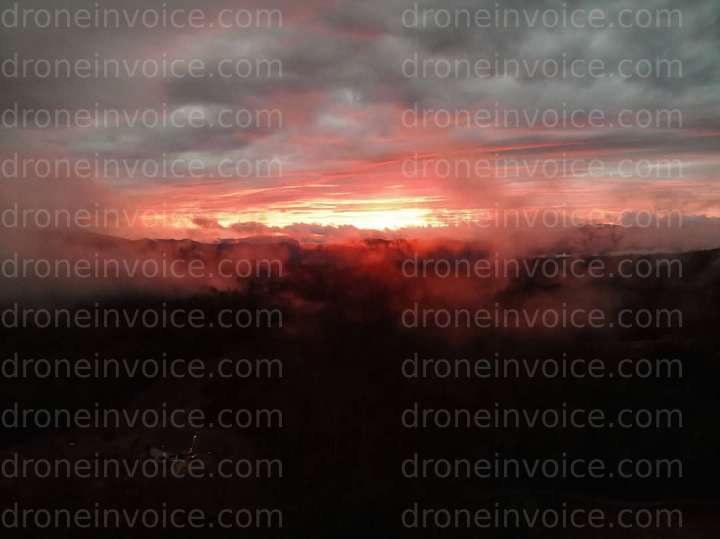
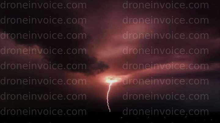
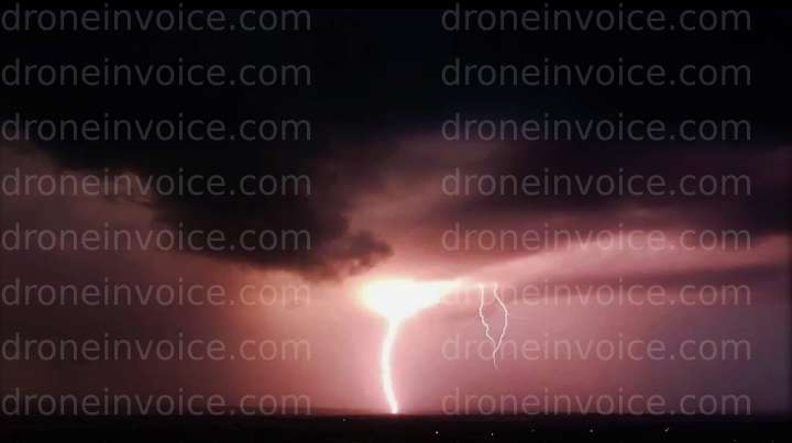
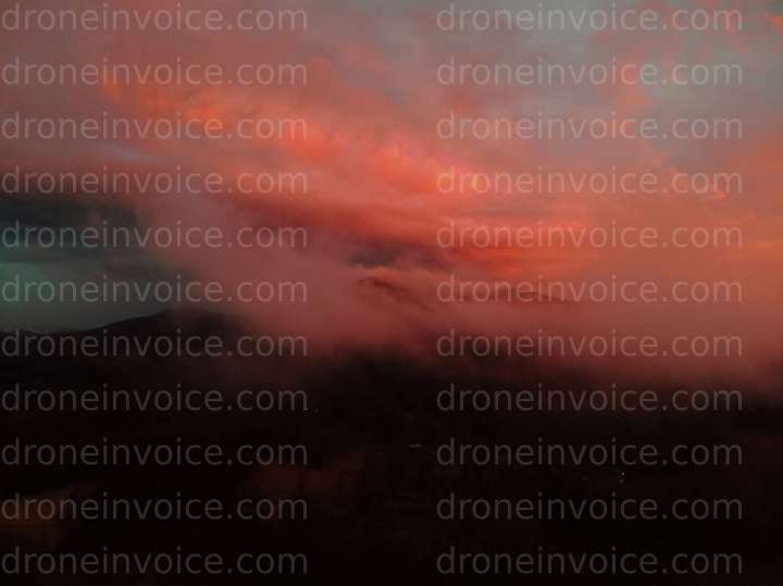
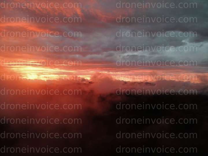
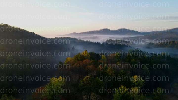
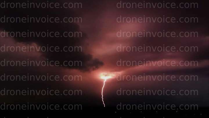
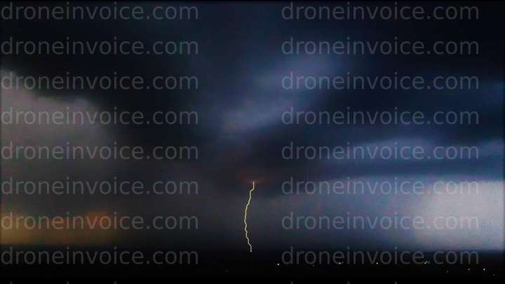
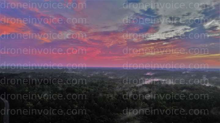
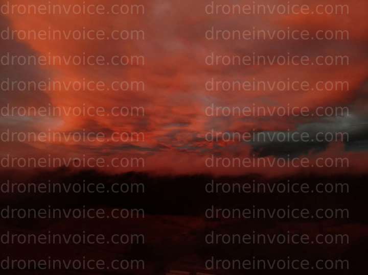
Aerial photography
Collection of aerial photography


Select a file
Click a marker or any thumbnail to preview it here.

Highest Peak LLC
Last active 78 days ago
Aerial mapping, telecom,mine, infrastructure mapping/digital twin creation with with -.04cm accuracy using RTK/PPK Aerial and terrestrial lidar scans for surveyors and engineers.
License / Certification
FAA Part 107, OSHA and RF certified
37 total views last week
Request a quote
View Pilot Portfolio
Other invoices by Highest Peak LLC