Drone media
Drone Map captured on January 16, 2026. 9074×8919 px @ 2 cm/px
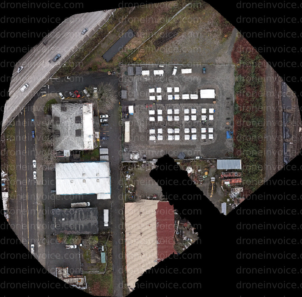
Map
No location data.

DCARD
Last active 158 days ago
Aerial Inspections, Mapping, Modeling, Aerial Cinematography
License / Certification
FAA Part 107 4772794
53 total views last week
Request a quote
View Pilot Portfolio