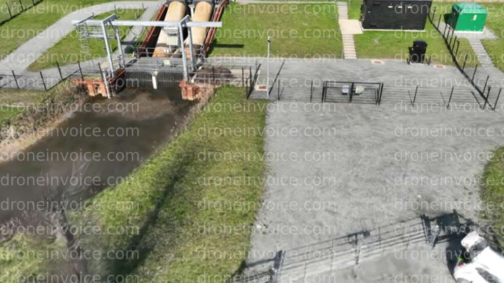
Drone media
Drone Video captured on April 5, 2026. 1920x1080 @ 30 fps
Map
No location data.
WADiT Aerial Surveys
Last active 49 days ago
WADiT Aerial Surveys delivers advanced aerial photography, videography, mapping, and surveying solutions. Our experienced pilots are GVC-qualified (General VLOS Certificate) and operate under PDRA01 - Operational Authorisation.
License / Certification
GVC- PDRA01 - Operational Authorisation.
15 total views last week
Request a quote
View Pilot Portfolio