Drone media
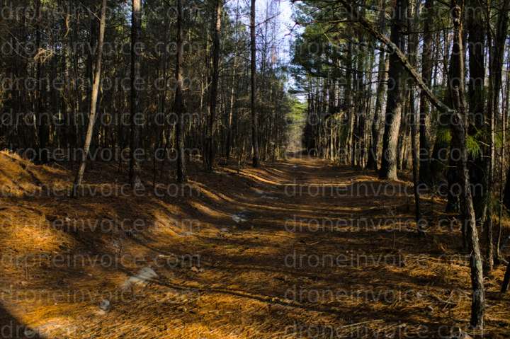
Drone Photo captured on February 20, 2026. 6014x4003 (24MP)
Map
No location data.

Scout and Aerial LLC
Active in the last week
Drone Photo, Video & Mapping Capture and Editing
Real Estate both Residential and Land
NCREC/ANSI Z765-Friendly Floor Plans and Home Measurement Square Footage with Reports
Based in Whitsett
License / Certification
FAA Part 107 #: 5255580
46 total views last week
Request a quote
View Pilot Portfolio