Newton, Kansas (ks), United States (us)
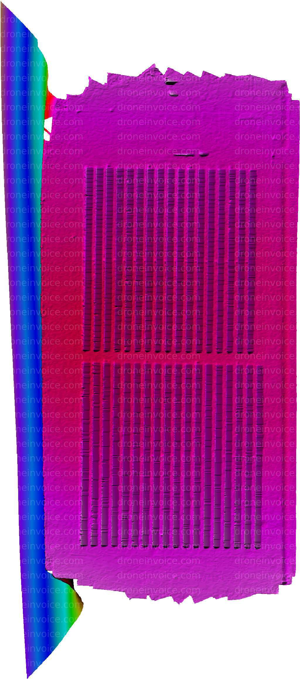
Drone Map captured on February 7, 2026 in Newton, Kansas (ks), United States (us). 962×2183 px @ 0 cm/px Available to license for ¤20.00 on DroneInvoice.
Map
No location data.
Founding Pilot
Top 5%
us/ks

Shideler IT
Last active 98 days ago
Aerial mapping, Agriculture, Orthomosaic photos, thermal imaging, Construction timeline images
License / Certification
FAA Part 107 #5016756
368 total views last week
Request a quote
View Pilot Portfolio