Drone media
Drone Map captured on February 15, 2026
Map
No location data.
Whirlybirds
Last active 75 days ago
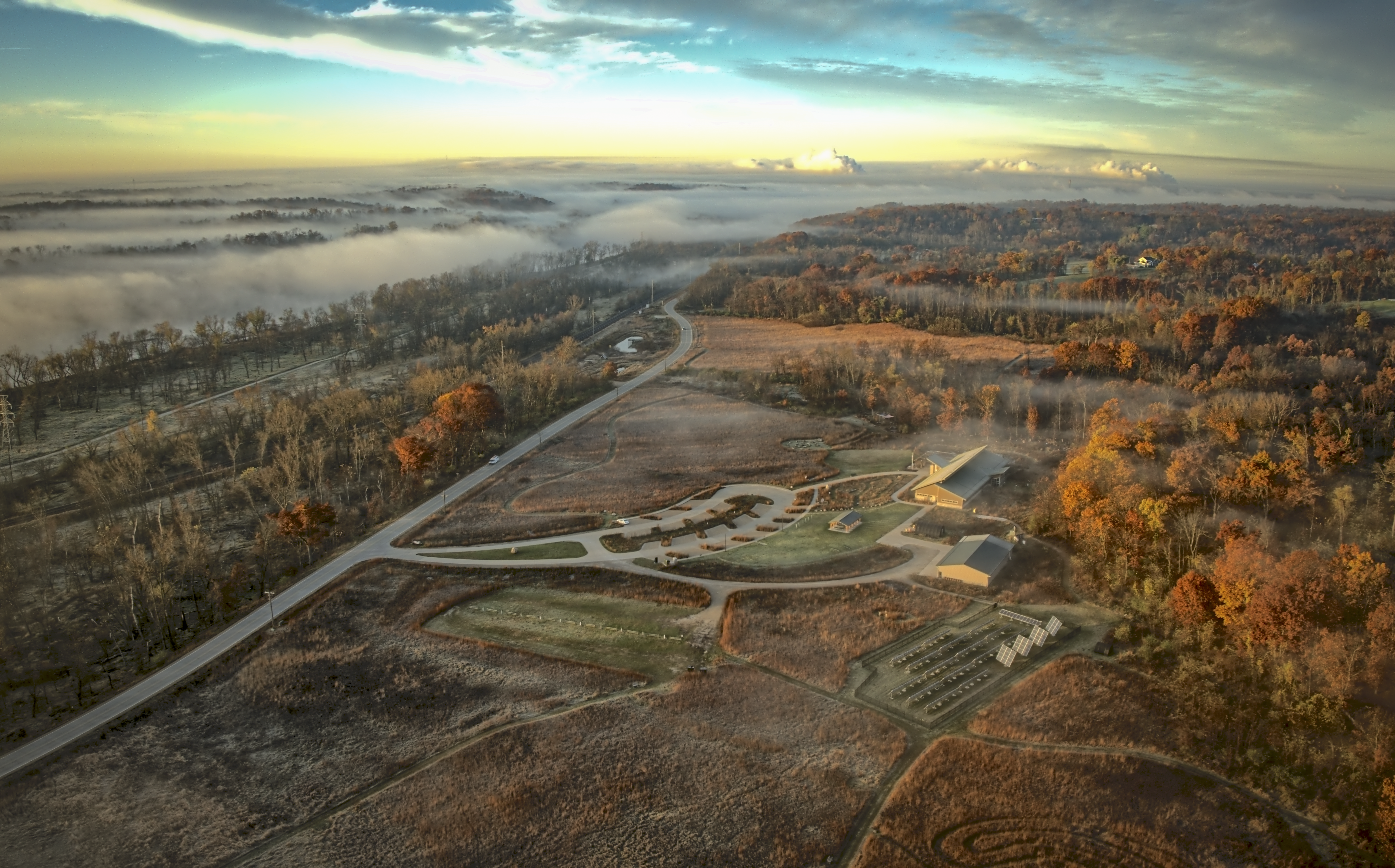
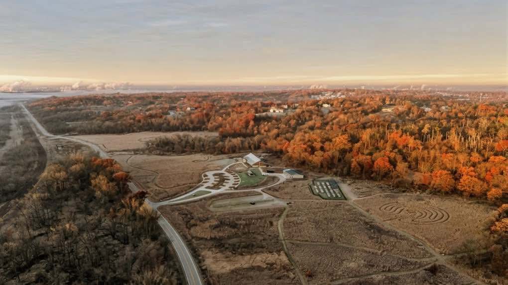
Aerial mapping photogrammetry for construction progress reports or real estate sales. High resolution photographs and videos to promote your property or prints of your home or farm.
License / Certification
FAA part 107 license
48 total views last week
Request a quote
View Pilot Portfolio