Drone media
Drone Map captured on January 11, 2026. 11051×12713 px @ 0 cm/px
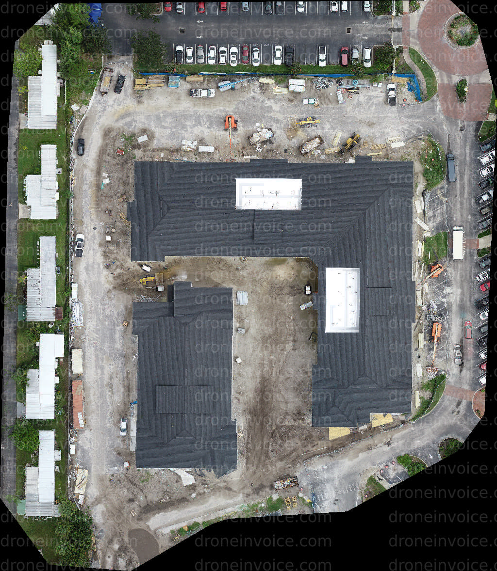
Map
No location data.
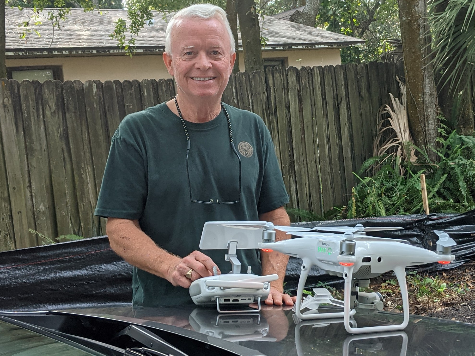
Tampa Drone Co
Last active 115 days ago
Commercial roof inspection; drone progress video/photos; solar array inspection; infrared thermography; digital twins.
License / Certification
FAA Part 107 #4331131; Level 1 Certified Infrared Thermographer;
12 total views last week
Request a quote
View Pilot Portfolio