Drone media
Drone File captured on December 16, 2025
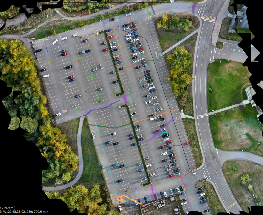
Map
No location data.
Aeroveal - Know More. See More.
Last active 227 days ago
I use aerial mapping to deliver clear, actionable insight for property management and construction companies, helping owners and managers understand site conditions, plan maintenance, document progress and make informed investment decisions.
20 total views last week
Request a quote
View Pilot Portfolio