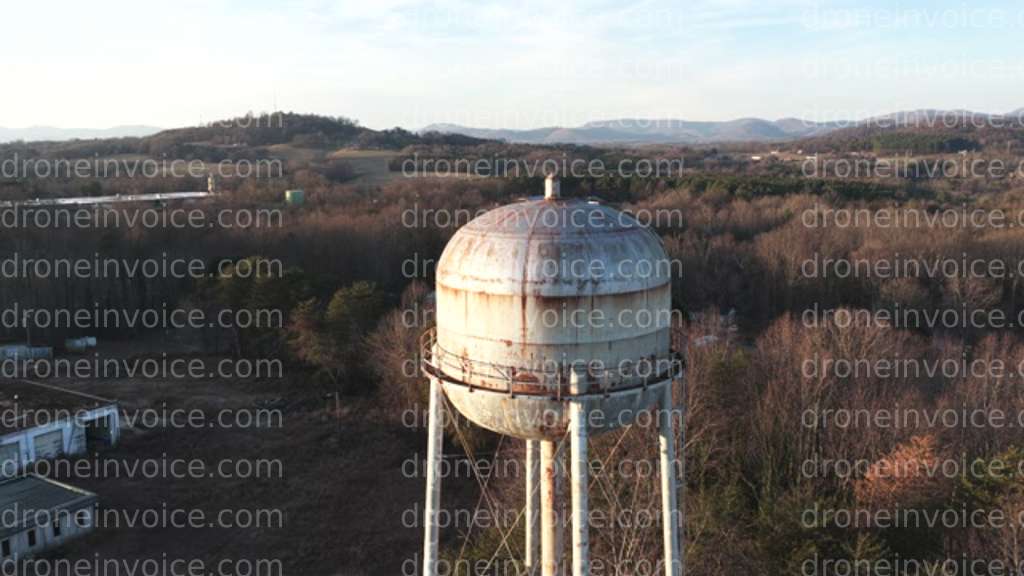
Taylorsville, North Carolina (nc), United States (us)
Drone Video captured on January 6, 2026 in Taylorsville, North Carolina (nc), United States (us). 3840x2160 @ 23.98 fps Available to license for ¤175.00 on…
Map
No location data.
Founding Pilot
Top 5%
us

True North Aerial Imaging
Active in the last week
True North Aerial Imaging delivers more than drone footage — we craft visual stories that showcase properties, communities, and events with clarity and impact. By blending technical precision with creative storytelling.
License / Certification
FAA Part 107 #5198389
1696 total views last week
Request a quote
View Pilot Portfolio