Drone media
Drone Map captured on February 21, 2026. 1013×2912 px @ 0 cm/px
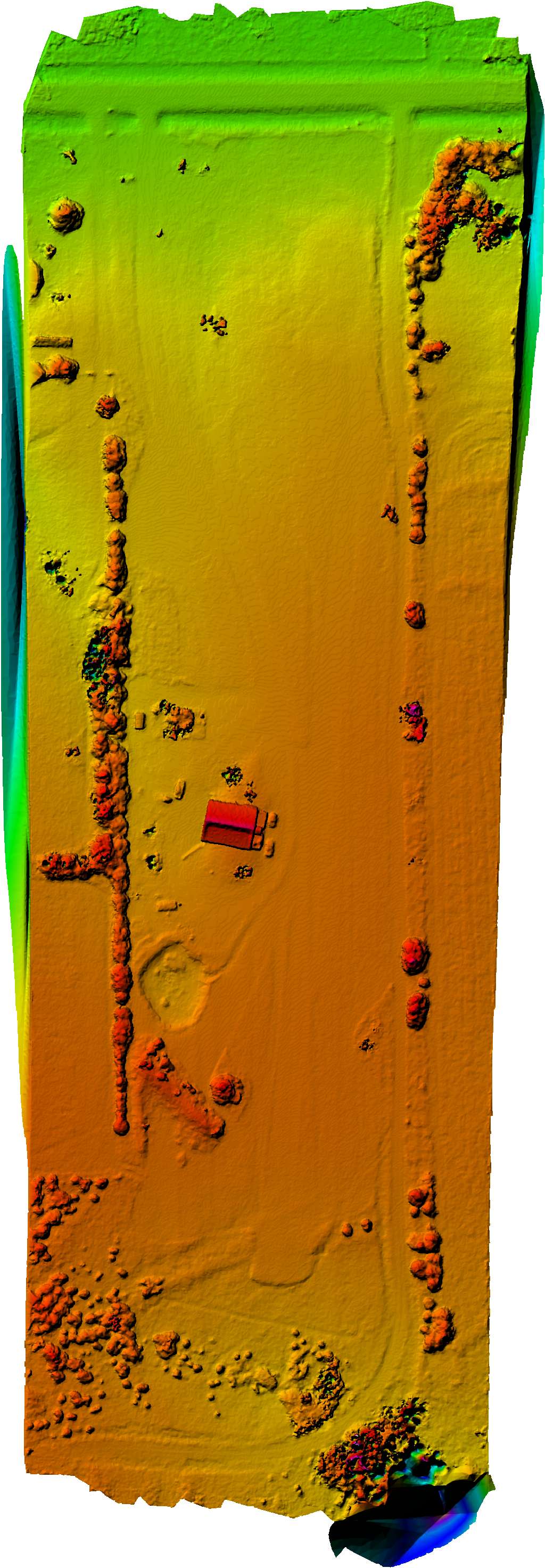
Map
No location data.
Founding Pilot
Top 5%
us/ks

Shideler IT
Last active 55 days ago
Aerial mapping, Agriculture, Orthomosaic photos, thermal imaging, Construction timeline images
License / Certification
FAA Part 107 #5016756
278 total views last week
Request a quote
View Pilot Portfolio